| Difficulty | IV |
| Length | 2.7 mi |
| Avg Gradient | 42 fpm |
| Gauge | Colorado River at Windy Gap, Near Granby, Co. |
| Flow Rate as of 1 hour | 142 cfsbelow recommended |
| Reach Info Last Updated | June 21, 2022 |
Projects
Gore Canyon Whitewater Park (CO)
As part of comprehensive management planning for the Upper Colorado River, Grand County obtained a Recreational In-Channel Diversion water right to help protect recreational use, and healthy river flows below a series of large dams and reservoirs. To perfect this water right, the completed construction on a whitewater park [...]Read More
River Description
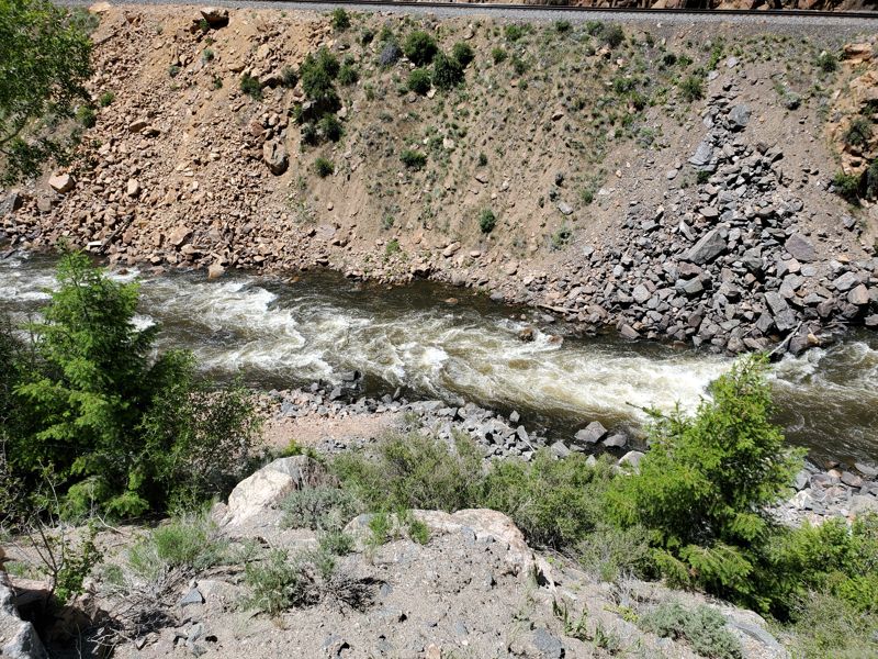
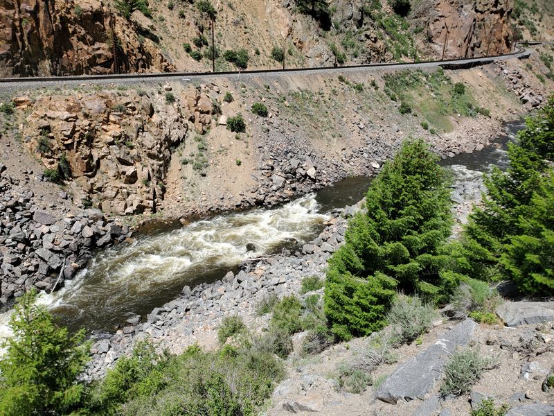
The Colorado River cuts a short gorge just downstream of the town of Sulfur Hot Springs. As with almost every roadside or train-side river in the Rockies the riverbed is full of sharp blast rock and the occasional piece of man-made debris. All of the rapids can be scouted from the road, but be careful both for falling rocks and vehicles, and most are pretty easy to scout from the river depending on the flow.
From the put in at a nice riverside park in Hot Sulfur Springs the first half mile or so is a mellow mostly flat warm up. The river soon enters the canyon and after a couple of very small rapids you will encounter the largest drop on the river and the only real class IV. The canyon is constricted and there is a clear horizon line. The majority of the flow ramps down a tongue on center right through several large boulders. After the first large rapid there are three or four smaller but still interesting rather straightforward probably class III to III+ rapids. After three or four progressively smaller rapids the canyon opens and the takeout is just after the bridge on the left. The entire run is pretty short and multiple laps would be easy to do if one was motived to run them.
Byers Canyon was being run by Rick Stock and Craig Irwin in 1992 and probably earlier.
Its a quick few miles in steep talus slopes and carved canyon with easy logistics.
Based on comments this river can be navigated at flows down to 190 CFS.
River Features
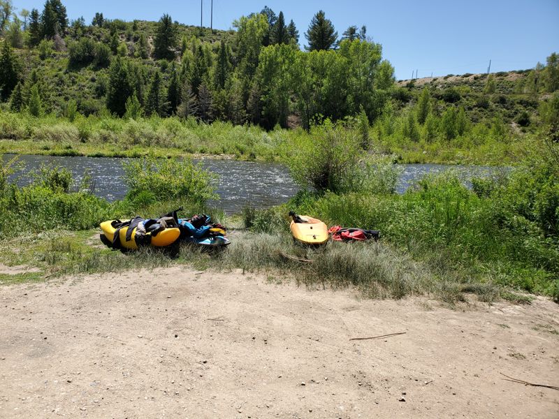
Put In
Access PointDistance: 0 mi