Tuckasegee, East Fork
2. Bonas Defeat Gorge
| Difficulty | V+ |
| Length | 1.4 mi |
| Avg Gradient | 266 fpm |
| Reach Info Last Updated | December 12, 2025 |
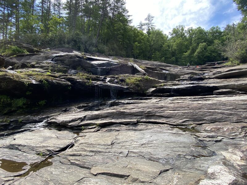
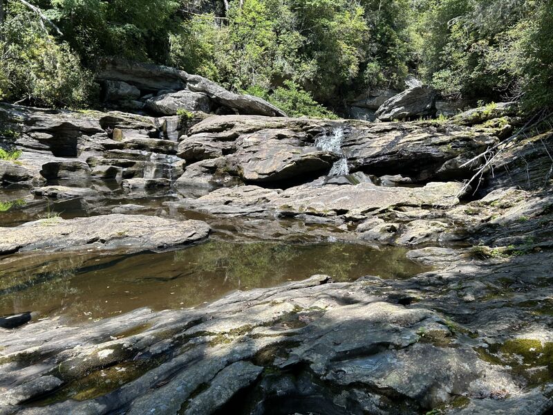
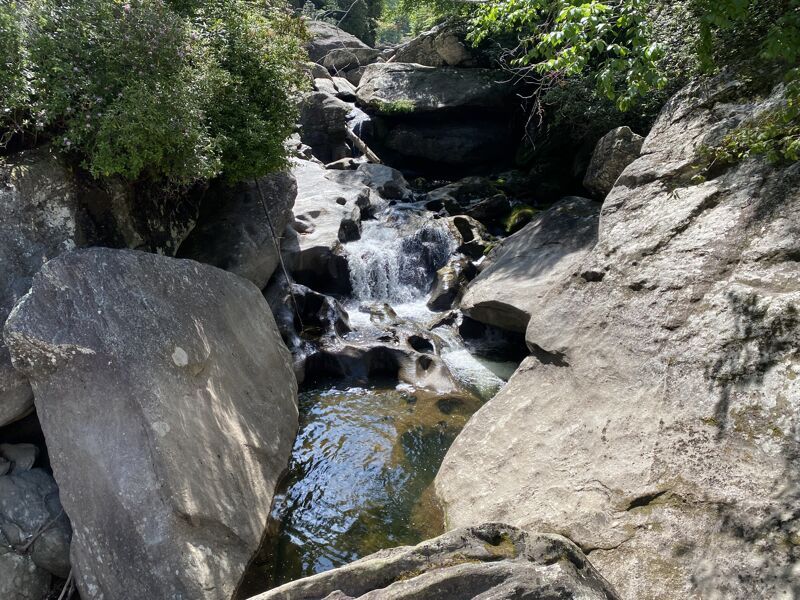
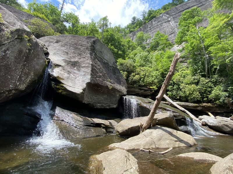
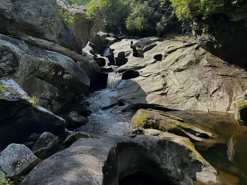
From Tanassee Creek Reservoir, the East Fork of the Tuckasegee flows through a rocky gorge, studded with giant potholes, large strainers, and dangerous sieves. In the heart of the run is the 400-foot vertical namesake of the Gorge, the Bonas Defeat cliff, where legend claims a local hunting dog named Bonas plunged to his death while chasing a bear. Here, the river drops 240 feet in a little over 0.4 mile, with most of the water running in, around and through large boulders.
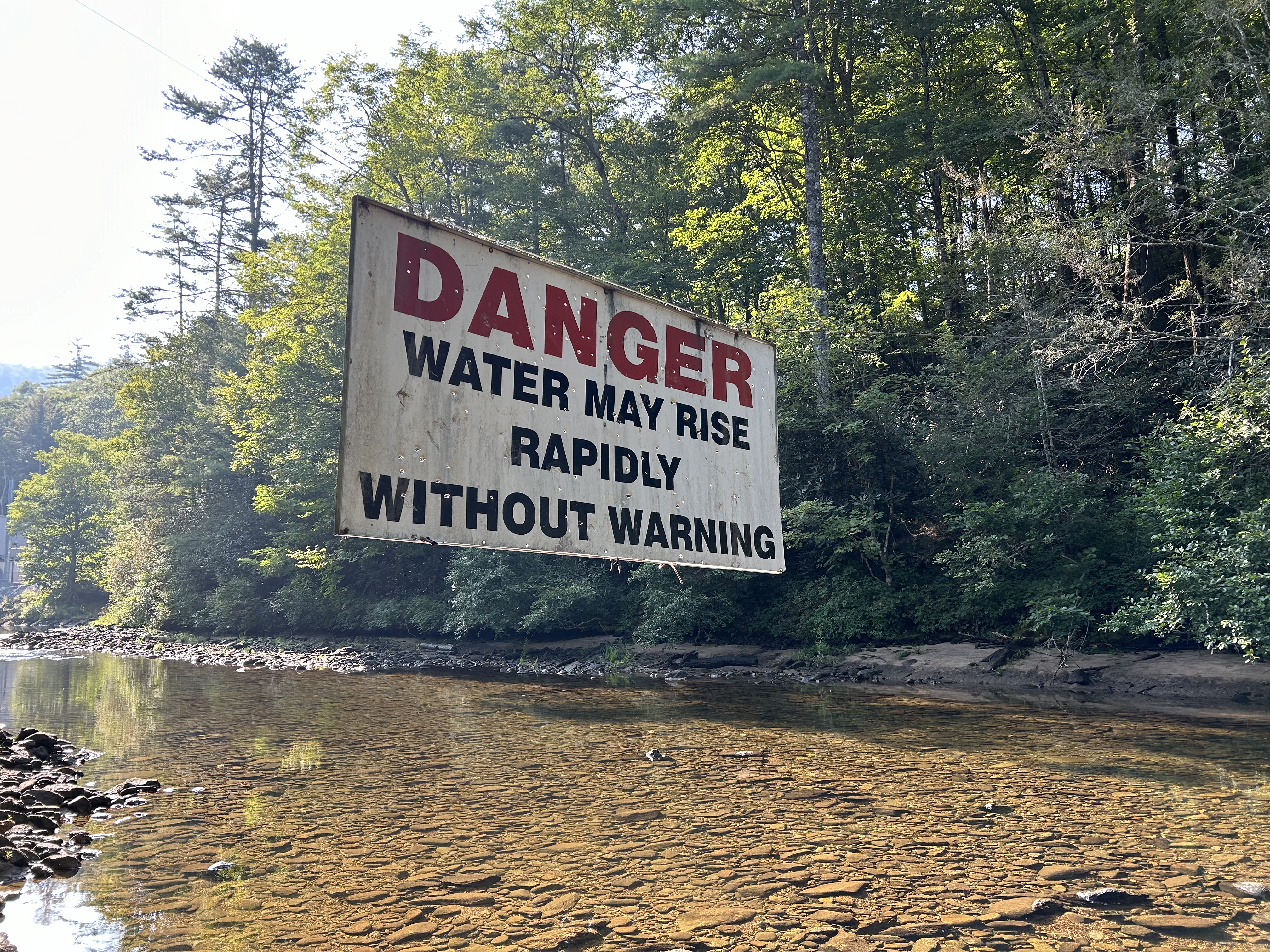
Bonas Defeat is currently dewatered and rarely runs at boatable levels. However, American Whitewater is currently involved in the process of relicensing the East Fork Tuckasegee to accomodate several yearly recreational flows for experts only. American Whitewater conducted a non-boating test flow in this reach with some of the most accomplished local boaters in Western North Carolina. The participants concluded that Bonas Defeat Gorge was inordinately dangerous. Some stated that they would run it once or twice just to run it; others weren't as optimistic.
Some of the local high level boaters run this gorge & there are several Youtube videos up as well as on other platforms. The river runs through large rocks, strainers & caves. You will have to portage several of the rapids so be prepared for a bushwhack but this is truely a rugged & remote gem of a run.
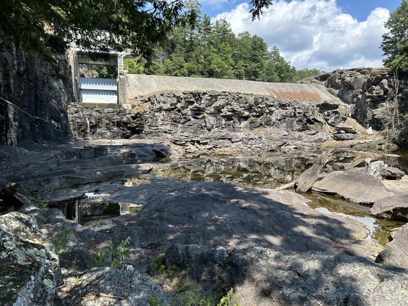
Directions to Bonas Defeat Gorge: Take NC 281 south from the town of Tuckasegee toward Wolf Creek Reservoir. Take Gray's Ridge Road just north of Wolf Creek Baptist Church. This is a rough gravel road that is one to two miles long with a turnaround. Park as far up the road as possible, making sure to not block any driveways. Cross the river to the south on the metal-covered bridge, and turn left upstream at the powerhouse. Follow the Tuckasegee River upstream to the dam spillway for Tanasee Reservoir, on the left
...
Has only been ran one time to the best of my knowledge by Ryan McAvoy. He ran down the river left slide which always seems to gather wood. Beautiful setting with the Bonas Defeat wall in the background.
Nice sliding waterfall. About 30ft tall. Most seem to run it far left to avoid the potholes.
Jun 11, 2024
Rugged hiking up the dewatered gorge. Uploaded a few photos for the sake of scouting but it won't look like this at boating levels.
Jun 6, 2005
The bridge across the river has washed out. Follow the trail on river right to get to the powerhouse.
Dec 16, 2004
Note: The settlement agreement for this project does not include recreational releases on Bonas.