Murder Creek
Stanfordville to Lake Sinclair
July 24, 2005
| Reporter | Gary DeBacher |
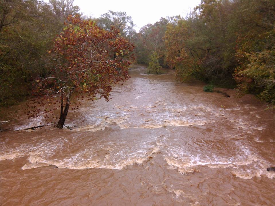
This time caught it in July at 280cfs. Also I ran the extra approximately 2.5 miles from Hillsboro Road down to the gauge location. It is pleasantly kinky and forested, but showing no rapids at this water level and with some soggy trees to force over.
At 280 cfs, the rapid just below the gauge and the bridge runs cleaner, as does the next rapid about half a mile down. The third rapid, opposite Baker Branch is still hard to thread but better cushioned. Bear off left from center to do it. The approach to the diagonal chute at the final ledge was easier. If you want to 'spectate' the final ledge, usfs 1108 can be found just a bit west of the paved road to Note. (Look hard, it is poorly marked.) The USFS road looks awful, but the puddles have solid bottoms, and we got all the way in using our Accord. At the end is a fenced overlook, plus trails down to the ledge. If you have 4wd, you might carry boats up here after running the ledge, and save the flatwater mile down to hwy 129.