Flat Shoal River
2: Flat Shoals Bridge to Tanyard Bridge (SSR 37-24)
| Difficulty | I-III |
| Length | 4.6 mi |
| Avg Gradient | 20 fpm |
| Gauge | Chattooga River Near Clayton, Ga |
| Flow Rate as of 1 hour | 1.39 ftbelow recommended |
| Reach Info Last Updated | September 30, 2005 |
Flat Shoal is the bigger, more agressive cousin of the North Fork of the Little River. Local Clemson boaters advised running the Flat Shoal over the North Fork of the Little because the Little is fairly small, strainer filled, and unexciting. However, that being said, don't get too excited about Flat Shoal. The largest rapids are class III but the last drop can get pushy at really high water. Most of the run is wide. I did not see strainers on my one flood stage trip (Will Reeves).
There is no good reason to boat past the takeout bridge because the lake inundates the last few miles of the river, almost within sight of the bridge.
Directions:
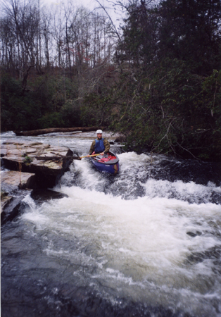
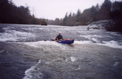
The put in at Flat Shoals is a slide.
This is a view of the put in at low water from downstream.

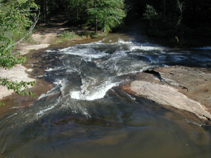
After a half mile of fast flowing water the stream makes a left turn and dissapers over a blind drop. Blind-Slide can be run on both river left or right, but be aware that trees can block parts of the drop.
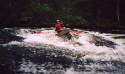
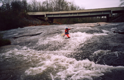
After the first drop Blind Slide continues over more ledges.
The final three drops on the river are a series of sequential slides. All are easy but when combined they are a simple class III rapid.
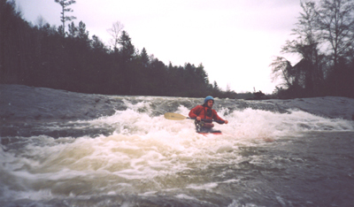
This is the final drop on the river and the last of the takeous slides.
Feb 19, 2022
Test trip report.
Feb 19, 2022
Ran with the Chattooga gauge at 2.84ft. Still a little shallow in places but a fun run for some fairly inexperienced paddlers. A few strainers in some of the calm sections but none riverwide and all were easily avoidable.
Jun 13, 2019
This is my home river so if anyone needs a guide, i'm down to run always. 8649033488