| Difficulty | II-III |
| Length | 27.6 mi |
| Avg Gradient | n/a |
| Gauge | Dolores River Below Rico, Co. |
| Flow Rate as of 25 minutes | 19 cfsbelow recommended |
| Reach Info Last Updated | June 20, 2018 |
River Description
Rivers of the Southwest, F.Anderson; data supplied by Four Corners Marine, Durango, CO
Lat/longitude coords are approximate, from TopoZone.
River Features
Put In
Access PointDistance: 0 mi
This, the Highway 145 bridge on the north side of Rico, is one of several potential put-ins for this reach. It is about 2 miles downstream from the rarely-run Rico Falls (class V), and for most boating purposes is the beginning of navigable river. The upstream (east) side of the bridge is private and labeled as a helispot. On the downstream (west) side of the bridge, there is access but limited parking.
Montelores Bridge, stream flow gage
OtherDistance: 4.91 mi
Bridge on the county line, next to a meadow often filled with multiple RVs. No boat ramp. The USGS gage for the Dolores below Rico is located here.
Hillside Drive
Access PointDistance: 11.45 mi
No boat ramp. Small eddy on river left downstream of bridge.
Bear Creek trailhead
Access PointDistance: 14.82 mi
On the downstream side of the footbridge, there is a short trail between the parking lot and river. No boat ramp.
Stoner Stampede
RapidClass: III+Distance: 20.19 mi
The biggest rapid of the Upper Dolores, about 1/4 mile long, with large waves. Private property on both sides makes this impossible to scout or portage without trespassing. At low flow it is class III, at high flow it is class IV.
Diversion dam (double drop)
HazardWaterfall / Large DropClass: IV-Distance: 21.93 mi
Diversion dam with river-wide, double-drop diversion dam. The upper drop is U-shaped, and the lower drop is straight across. The lower drop is similar to a low-head dam; parts of it flush out, and parts recirculate. There is a horizon line. It can be scouted and portaged on river right. Shortly after the diversion there is another, smaller double-drop structure.
Take Out
Access PointDistance: 27.6 mi
The location shown for the end of this reach is actually at the San Juan National Forest sign on Highway 145, not at Big Rock, which is about 4.8 miles downstream from the point shown (see 02. West Fork to Dolores).
There is no take-out at the West Fork, only a put-in which is on the West Fork about 0.17 mile upstream from the confluence. Thus, reaches 01 and 02 (beginning at the West Fork) actually overlap by several miles.
Trip Reports
Log in to add a reportMB
Upper Dolores from Rico to Dolores at high water - Matt Barnes
Jun 7, 2023
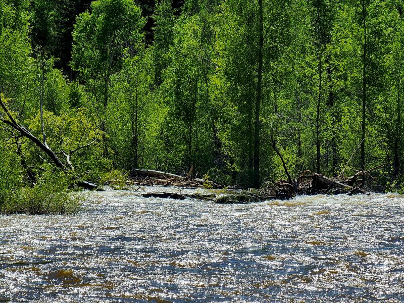
The Rico gauge jumped to 840 (a rare opportunity), and the Dolores gauge to 2770, so it seemed like the day to run the entire Upper Dolores from Rico to Dolores. I think the gages were reading 765 and 2620 when I passed them. At the put-in, the weather was clearing... but then less than an hour later, there was lightning and hail. Needless to say, the river is not only very cold but very fast at high water, and this river always has its share of strainers (today, none were river-wide). At high water, the river is mostly class II with quite a bit of class III; I would rate the Stoner Stampede and the diversion dam as class IVs (even at normal flows I would not consider taking an open canoe on this river, but people do run it in whitewater canoes).
I paddled from Rico to Big Rock (section 01) in 04h:06m, (7.9 mph), and the 40.8 miles to Dolores Beach (sections 01-02) in 05h:13m (7.8mph).
With four 15-minute breaks, that means my average moving speed was about 9.7 mph. Especially considering my breaks, this probably isn't a speed record....