Morrison Creek
S Cemetery Rd to Bottom Rd landing (5.3 miles)
| Difficulty | I-II |
| Length | 6.8 mi |
| Avg Gradient | 20 fpm |
| Gauge | Robinson/morrison/halls(stockwell) Approximation |
| Flow Rate as of 38 minutes | 10 cfsbelow recommended |
| Reach Info Last Updated | September 7, 2020 |
High water alternative run in the area of the popular Black River at Hatfield.
Morrison Creek passes through Ho-Chunk (Winnebago) tribal territory. Be aware that this may affect legality of paddling.
Groups often look at a double or triple (combining it with runs on Robinson Creek and/or Halls (Stockwell) Creek) since these three streams are quite similar in location (Black River Falls area) and drainage areas (80-90 square miles).

Drainage are is 92.5 square miles (as calculated by USGS Stream Stats V4.3.11).
Relative to the USGS gauge at Neillsville, flows on this creek *could* be 1/8th of flow on that gauge.
(Drainage area ratio is actually 0.123.)
We have built a 'virtual gauge' for the 'Black River Falls Area Triple' (Robinson, Morrison, Halls (Stockwell) Creeks) using a ratio of an average of their drainage areas vs drainage at the Neillsville gauge. Obviously correlation will not be exact ... expect this virtual gauge will lag both on the rise and fall, as well as at times when rains hit different parts of the watersheds differently.
Apr 22, 2023
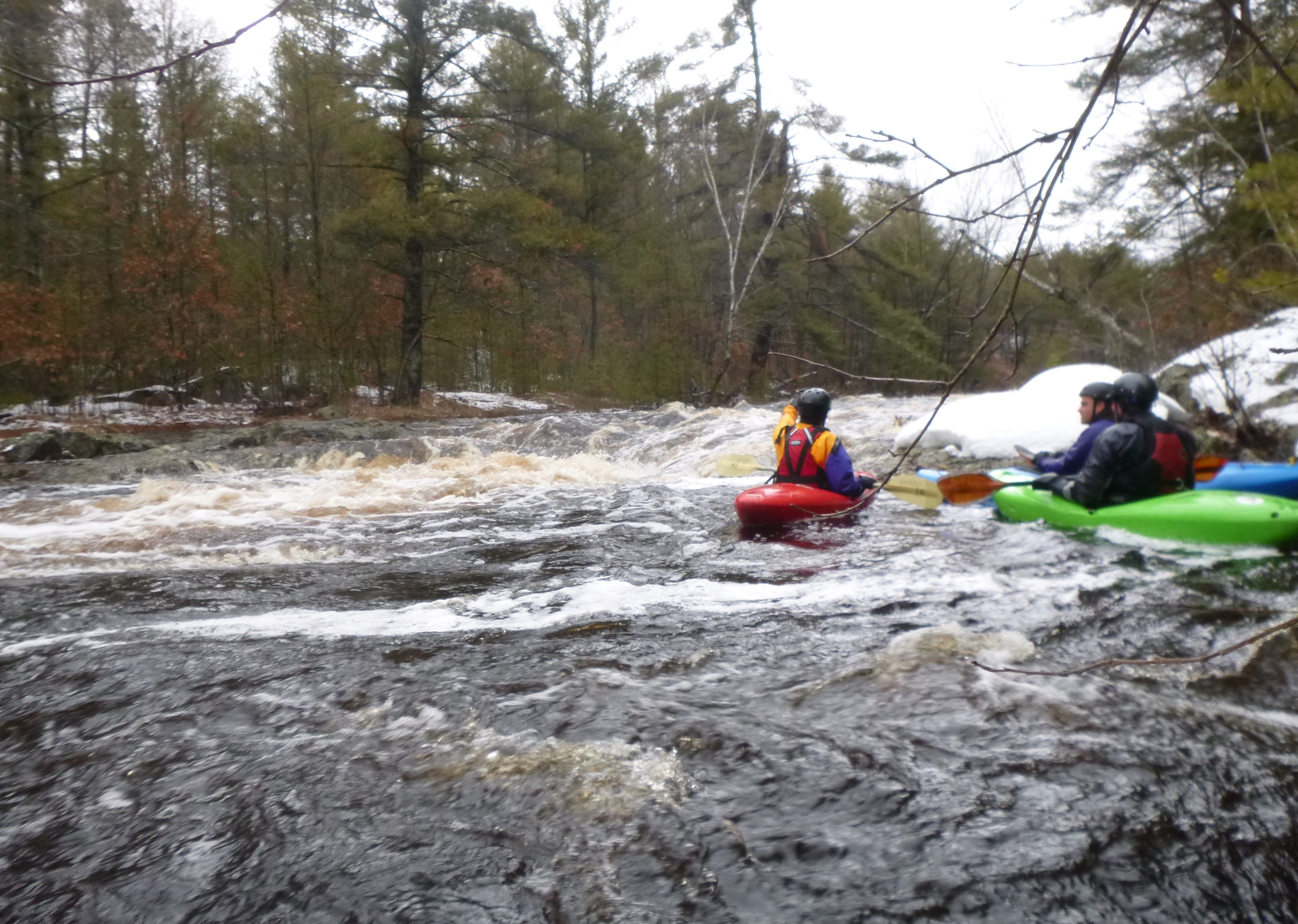
Thia was a good class 3ish run at 1000 CFS on the approximate guage. The best section was between cemetary road until just after county highway K road.
May 20, 2016
Apr 21, 2013
@ ~8 ft.
Apr 14, 2009
A very nice spring run with really good scenery and a couple rapids that with the right amount of water are quite fun. This spring run should be watched as it is definitely worth it. WR
