Dolores
03. Bradfield Launch (McPhee Reservoir) to Dove Creek Pump Station
| Difficulty | II-III(IV) |
| Length | 18.5 mi |
| Avg Gradient | n/a |
| Gauge | Dolores River Below Mcphee Reservoir |
| Flow Rate as of 1 day | 5 cfsstale data |
| Reach Info Last Updated | April 1, 2019 |
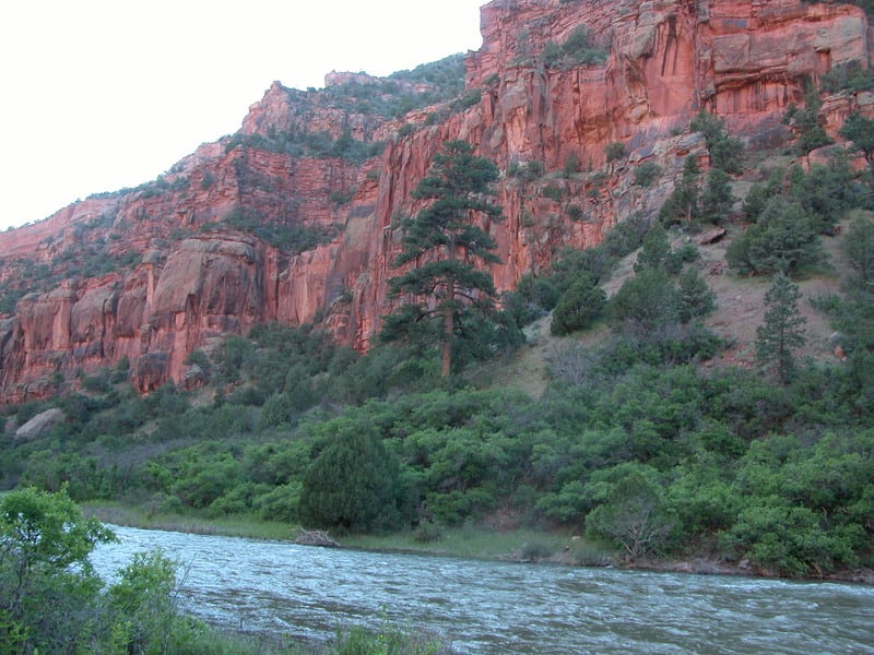
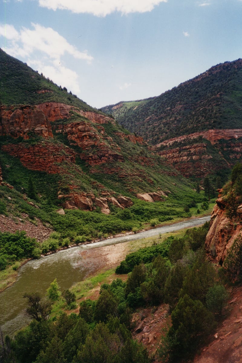
The Dolores River contains an impressive diversity of landscapes, from its pristine high-altitude headwaters in the Lizard Head Wilderness to the red sandstone canyons at the confluence with the Colorado River 230 miles downstream. The basin sustains rare riverside habitats, plant communities, and native fish and wildlife. Historically, the [...]Read More
American Whitewater and various stakeholders have formed a Working Group in Colorado’s Lower Dolores River Valley to update the US Bureau of Land Management’s 1990 Dolores River Management Plan. The Working Group, which is organized by the Dolores River Dialogue , launched a year-long process in December 2008, to [...]Read More
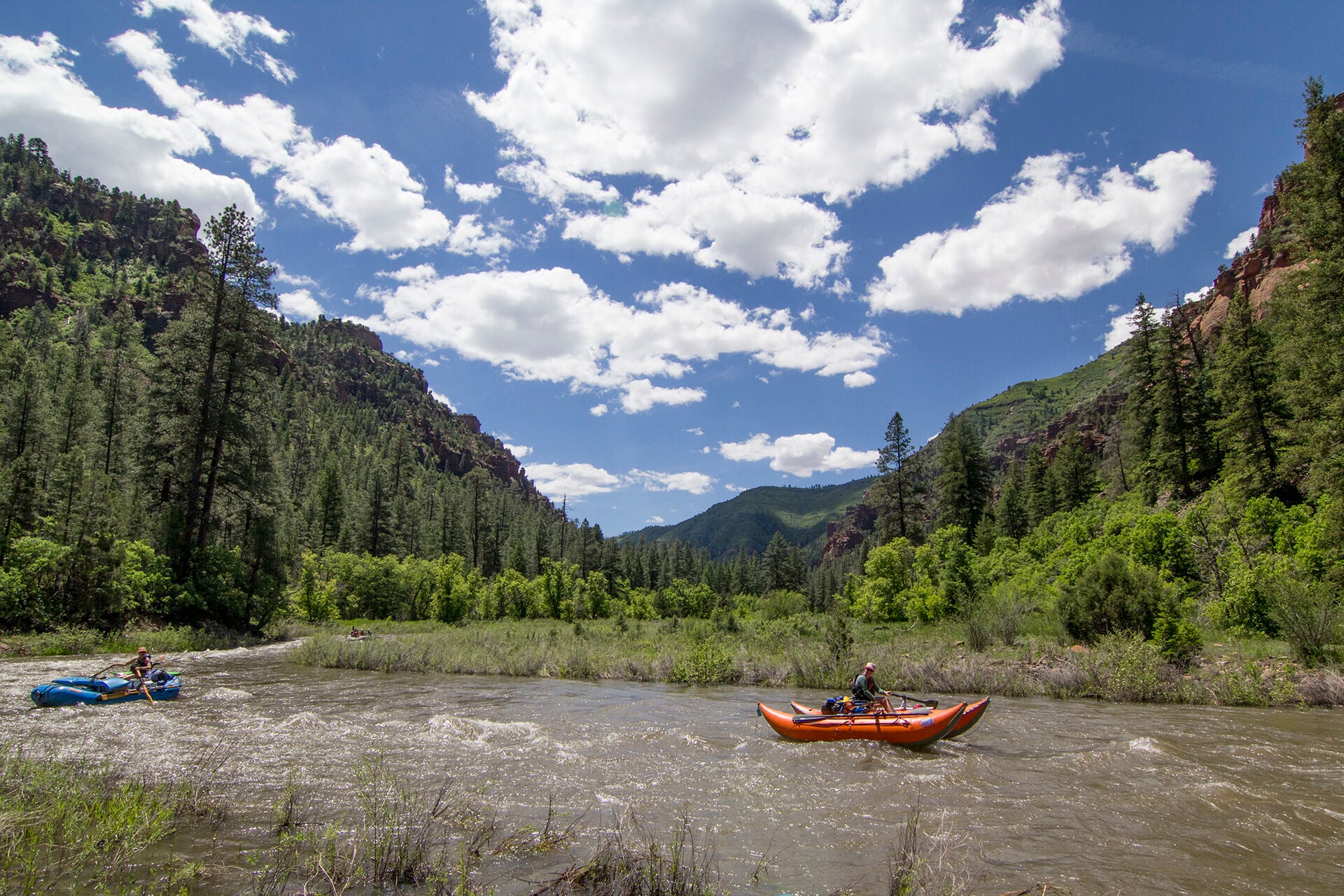
FUN FACT: The start of one of the lesser-known multi-day trips in the country
SEASON: April to early June depending on snowpack and release from McPhee Dam.
ISSUES: Recreational users have traditionally been the last to be considered in the management plan for McPhee Dam. A proposal to construct additional diversions designed to capture even more of the spring melt will only make the situation worse. Check with the San Juan Citizen's Alliance for the latest information on this issue.
LOGISTICS: The Bradfield Launch site is reached via Highway 666 and County Road R16 near the town of Cahone. There is camping at the launch site. The take-out for this section is at the Mountain Sheep Point Recreation site, otherwise known as Pump Station, which can be accessed via County Road J.
DESCRIPTION: The Dolores has been a source of irrigation water for over a century. Unfortunately the completion of McPhee dam, one of the last big water projects in the Colorado basin, has resulted in less than dependable flows for boaters and in some years none at all. While the Dolores does not have the intense rapids of some of it's more popular neighboring runs, the camping is superb and one can plan a multiday trip that starts out in the high elevation Ponderosa forests and ends in the desert canyons of the Colorado River. The Dolores is managed by the BLM and they maintain a web page with information on the river. Although permits are not currently required, you will still need your firepan, portable toilet, and dishwater strainer. You will also find a place to sign in at the launch site.
The typical trip starts at the Bradfield Launch and this is considered mile 0. There is an additional 10 miles of river upstream of the bridge before reaching McPhee Dam. This reach is parralleled by FR 504 and is popular with fishermen, but not often boated.</
...Access on river left used as the start of trips below McPhee Reservoir.
Series of rapids as the river turns to the left.
Rapid formed by outwash from Big Canyon.
The Mountain Sheep Point Recreation Site and Boat Launch is located on river left where a road comes down Big Canyon. The Dove Creek Pumping Station is immediately upstream which is also used as a reference point for this access.
Jun 25, 2023
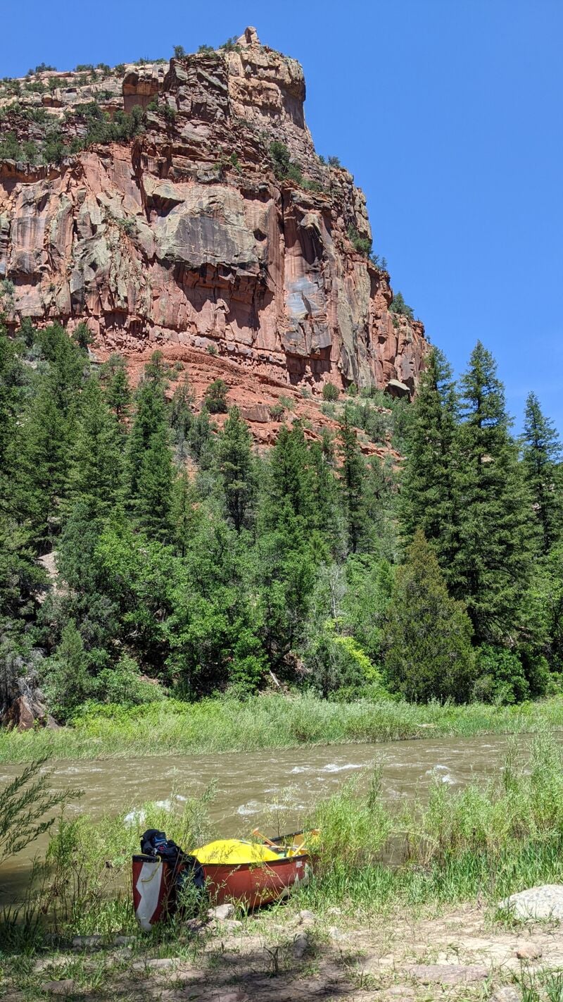
Ran this section as a day trip OC3 in a tandem canoe and had a blast. At a release of 1200 cfs we were able to avoid 'sleeper rocks' just under the surface, but they were difficult to discern from waves once the current picked up at about mile 12. Quite narrow in sections. There was a laminated copy of the 2017 guidebook in the boater registration box at the takeout. If you're willing to climb there's a trail on river right at about mile 18 that leads to some ancient cliff dwellings. With a good back ferry and awareness of the sleeper rocks this was not a difficult run in a canoe. Abundant camping, a bit overgrown but nothing unmanageable.
Oct 1, 2010
Old Growth Ponderosa Pine in the Dolores River Canyon