Scrubgrass Creek
Route 308 to Allegheny River(Lower Scrubgrass Creek)
| Difficulty | II |
| Length | 4.8 mi |
| Avg Gradient | 42 fpm |
| Reach Info Last Updated | April 18, 2007 |
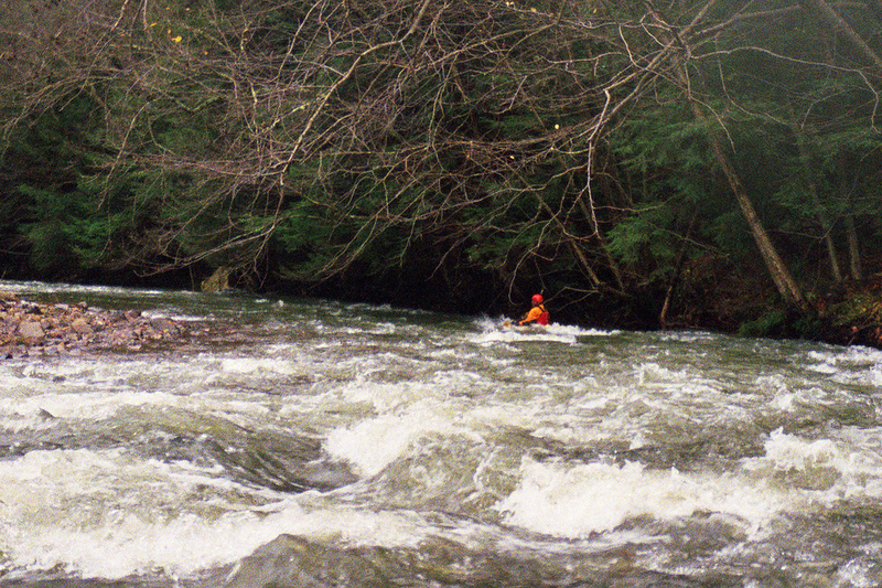
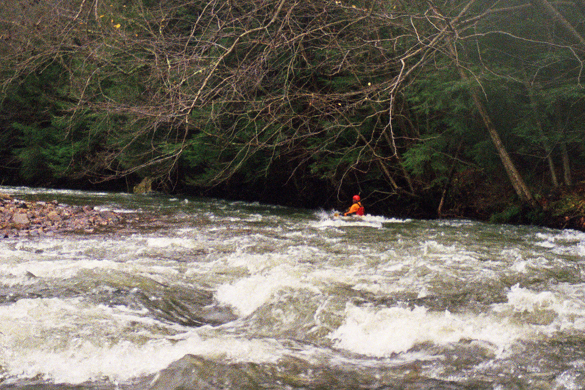
The runnable part of Scrubgrass Creek separates into two sections â an upper section between route 308 and the closed bridge on Rankin Chapel Road, and a lower section that runs to the mouth of the creek on the Allegheny River
The upper section is about 3 miles long, with an average gradient of 52 ft/mile. ItâÂÂs accessible, with roadside parking, from state route 308 north of Clintonville. It may be possible to carry upstream of route 308 and have a longer ride when the water is high. This is the more difficult section, with more pronounced rapids, say up to class III. IâÂÂve not paddled (or even seen) this whole section, but from what IâÂÂve scouted it looks to be by far the more difficult section of the creek. ItâÂÂs down in an isolated valley with access only at the ends and a difficult steep climb out the sides. If youâÂÂre going to paddle the lower section and want just a taste of the upper, carry across the bridge that is the put-in for the lower section, then carry upstream on river right about ü mile till you get to the old stone ruins right on the bank of the creek. The last rapid on the upper section is 50 yards upstream from there and is harder than anything in the lower section.
The lower section is about 1.75 miles long if you get out at the bridge over Bullion Run. The average gradient is about 43 ft/mile. Parking is available at the closed bridge at the put-in and for the take-out perhaps roadside at the bridge over Bullion Run. WeâÂÂve parked at the campground store just down the road â make sure you ask first and it wouldnâÂÂt hurt to slide the owners a couple of bucks in the name of good boater karma
The lower section is nearly all visible from the roadside. There are numerous places to pull over and camp between the road and the creek on state forest land. The gradient on the creek is nearly constant, with few standout rapids, but nearly constant pourovers, small ledges and waves. The cree
...