Dolores
04. Dove Creek Pump Station to Slickrock
| Difficulty | II-III+(IV) |
| Length | 28 mi |
| Avg Gradient | n/a |
| Gauge | Dolores River Near Slick Rock, Co |
| Flow Rate as of 1 hour | 0 cfsbelow recommended |
| Reach Info Last Updated | May 5, 2025 |
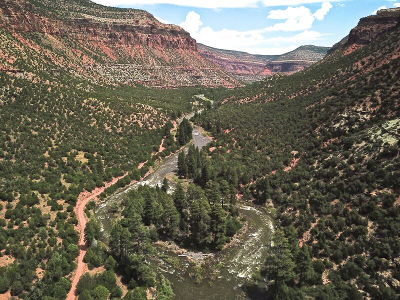
The Dolores River contains an impressive diversity of landscapes, from its pristine high-altitude headwaters in the Lizard Head Wilderness to the red sandstone canyons at the confluence with the Colorado River 230 miles downstream. The basin sustains rare riverside habitats, plant communities, and native fish and wildlife. Historically, the [...]Read More
American Whitewater and various stakeholders have formed a Working Group in Colorado’s Lower Dolores River Valley to update the US Bureau of Land Management’s 1990 Dolores River Management Plan. The Working Group, which is organized by the Dolores River Dialogue , launched a year-long process in December 2008, to [...]Read More
FUN FACT: When the dam is releasing water this is the best section of whitewater on the Dolores
SEASON: April to early June depending on snowpack and release from McPhee Dam.
ISSUES: Recreational users have traditionally been the last to be considered in the management plan for McPhee Dam. A proposal to construct additional diversions designed to capture even more of the spring melt will only make the situation worse. Check with the San Juan Citizen's Alliance for the latest information on this issue.
LOGISTICS: The put-in for this section is at the Mountain Sheep Point Recreation site, otherwise known as Dove Creek Pump Station, which can be accessed via County Road J which leaves Highway 666 near the town of Dove Creek. To reach the take-out, take Highway 141to the bridge across the Dolores at Slickrock. There is a launch site downstream river left of the bridge. This take out is on private property. The landowners allow take out and parking for $10 a day.
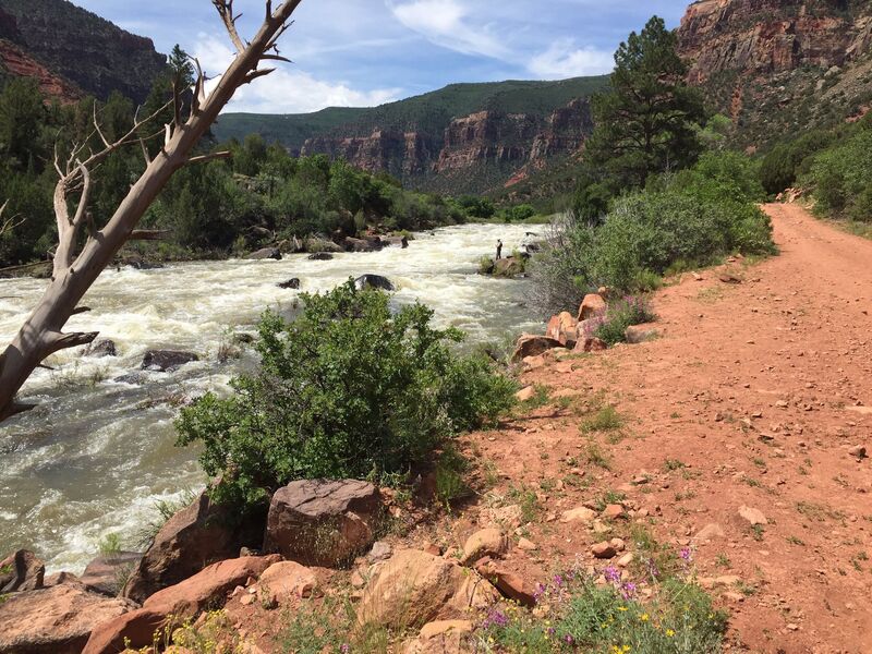
DESCRIPTION: This section of the Dolores is either the second section of a multiday trip starting at Bradfield Launch or the start of an excellent weekend trip (be warned that Memorial Day weekend can be busy if flows cooperate) for those who want to enjoy the best whitewater the Dolores has to offer. The Dolores is managed by the BLM and although permits are not currently required, you will still need your firepan, portable toilet, and dishwater strainer for overnight trips. An unimproved dirt road parrallels the first half of this section along river left. Those who want to avoid the roadside camp sites can find a couple of good sites on river right or just plan your trip to boat past this first half over the course of a day.
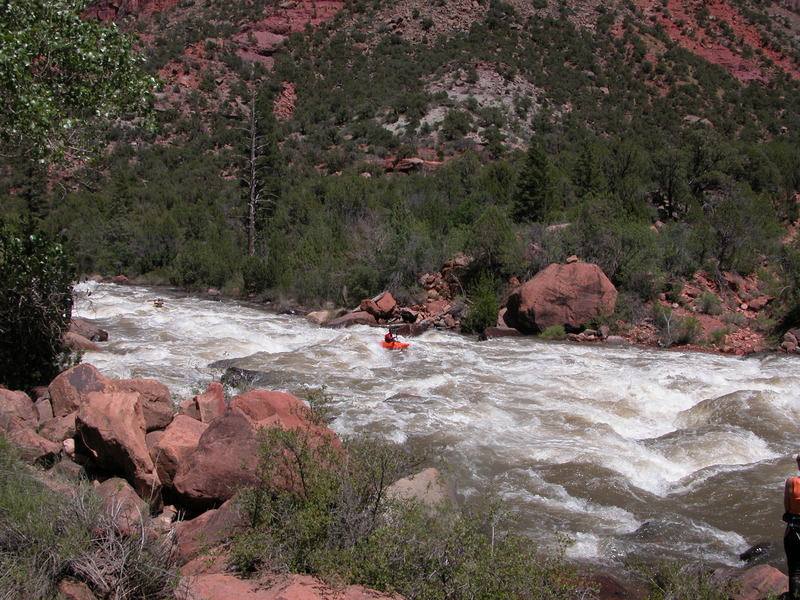
From river mile 19 at the Dove Creek Pump Station, you will start to encounter class III rapids more frequently than in the section upstream. They come every mile or so all the way up to Little Snag
...The Mountain Sheep Point Recreation Site and Boat Launch is located on river left where a road comes down Big Canyon. The Dove Creek Pumping Station is immediately upstream which is also used as a reference point for this access.
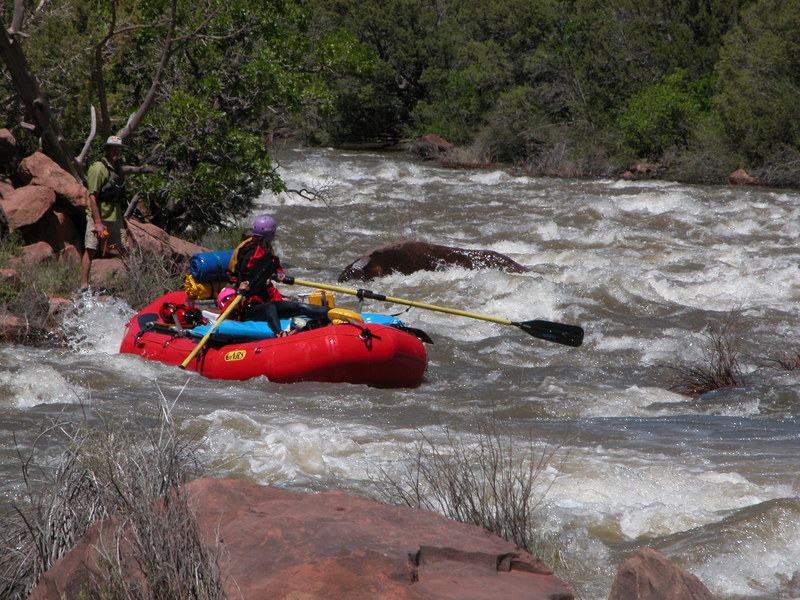
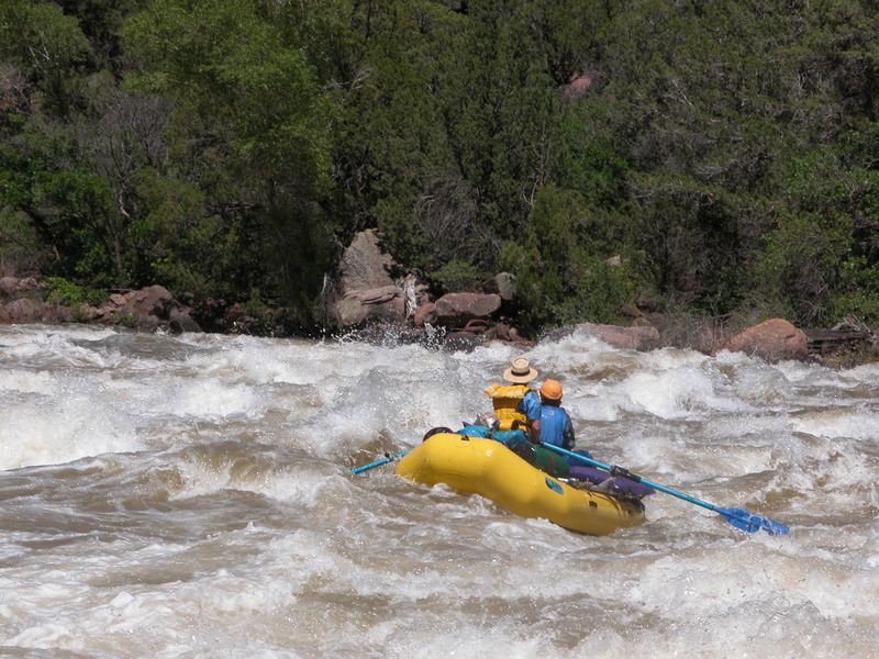
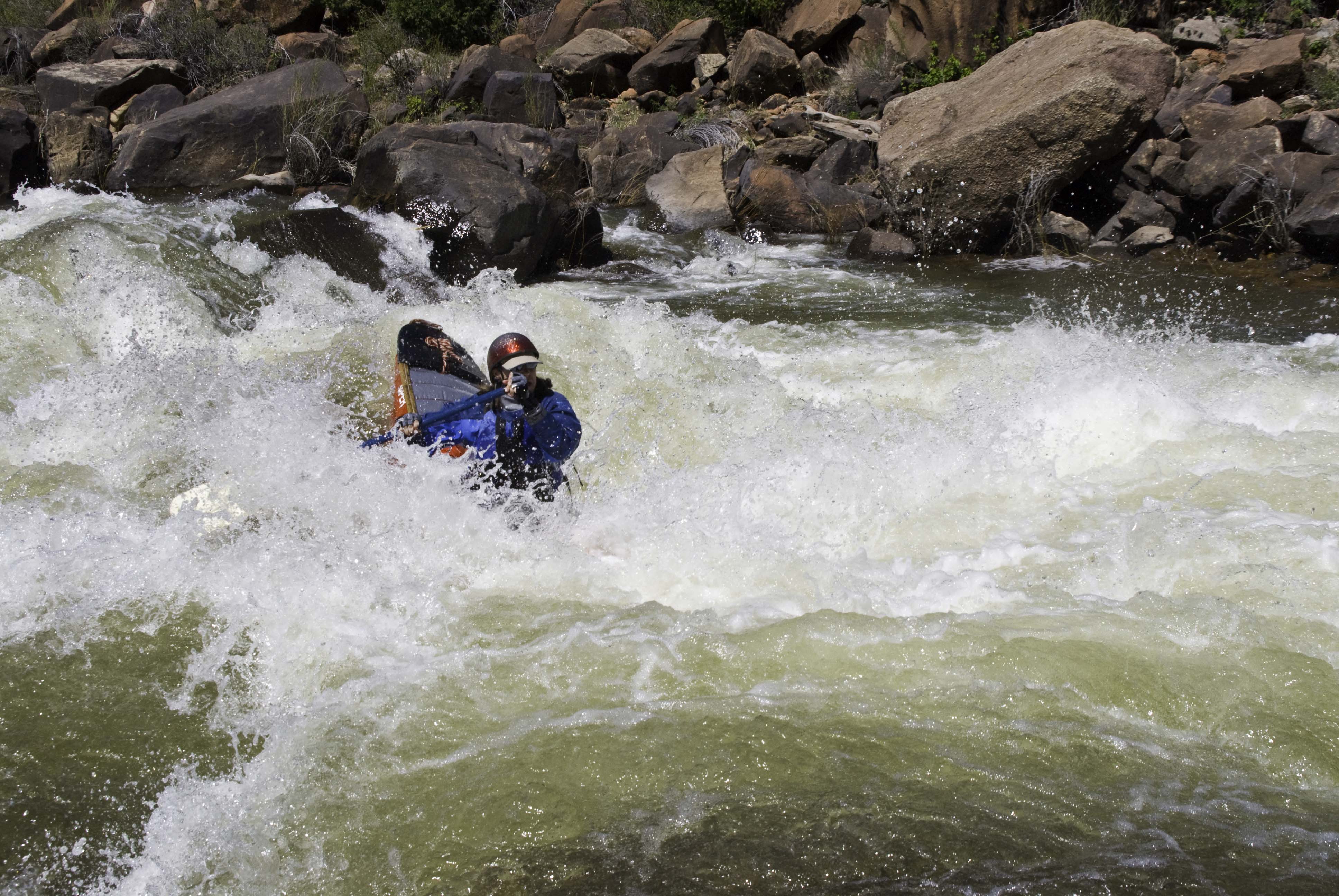
The big rapid on this section. A scout on is recommended as the line varies with flow. The road along river left offers a portage option. It is easy to hit this rapid before realizing where you are so use caution on the approach.
Long and continuous whitewater section. At flows below 800 the exposed rocks create navigation hazards for rafts.
A bedrock wall at the bottom right requires a hard left pull.
The Slick Rock access is located on private land on river right immediately upstream of the Slick Rock Bridge (Highway 141). Inquire locally regarding current status of the access but it has been open for use with a fee paid to the owner during releases from the dam.
Apr 18, 2010
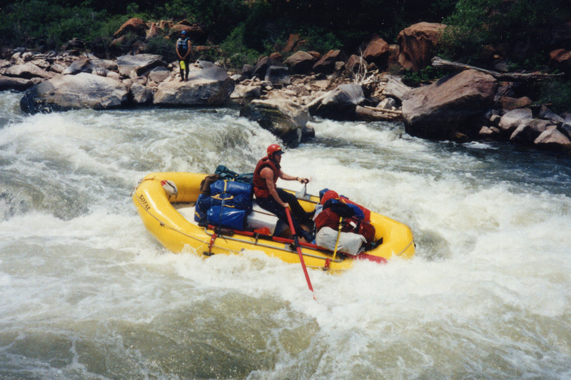
Steve Krest on the sticks.