Oconaluftee
1. Kephart Trail Bridge to Smokemont Campground Bridge
| Difficulty | III |
| Length | 4.2 mi |
| Avg Gradient | 149 fpm |
| Gauge | Oconaluftee River at Birdtown, Nc |
| Flow Rate as of 30 minutes | 342 cfsbelow recommended |
| Reach Info Last Updated | April 22, 2019 |
The headwaters for the Oconaluftee River are in the Great Smoky Mountains National Park. It is formed by the confluence of three streams, Beech Flats Prong, Kephart Prong, and Kanati Fork. The confluence of these streams is litte more than a tenth of a mile above the footbridge on the Kephart Trail, just off US 441. From here the stream winds to the south, with US 441 paralleling the river to the west. The run is roadside, but for the most part the river veers from the highway.
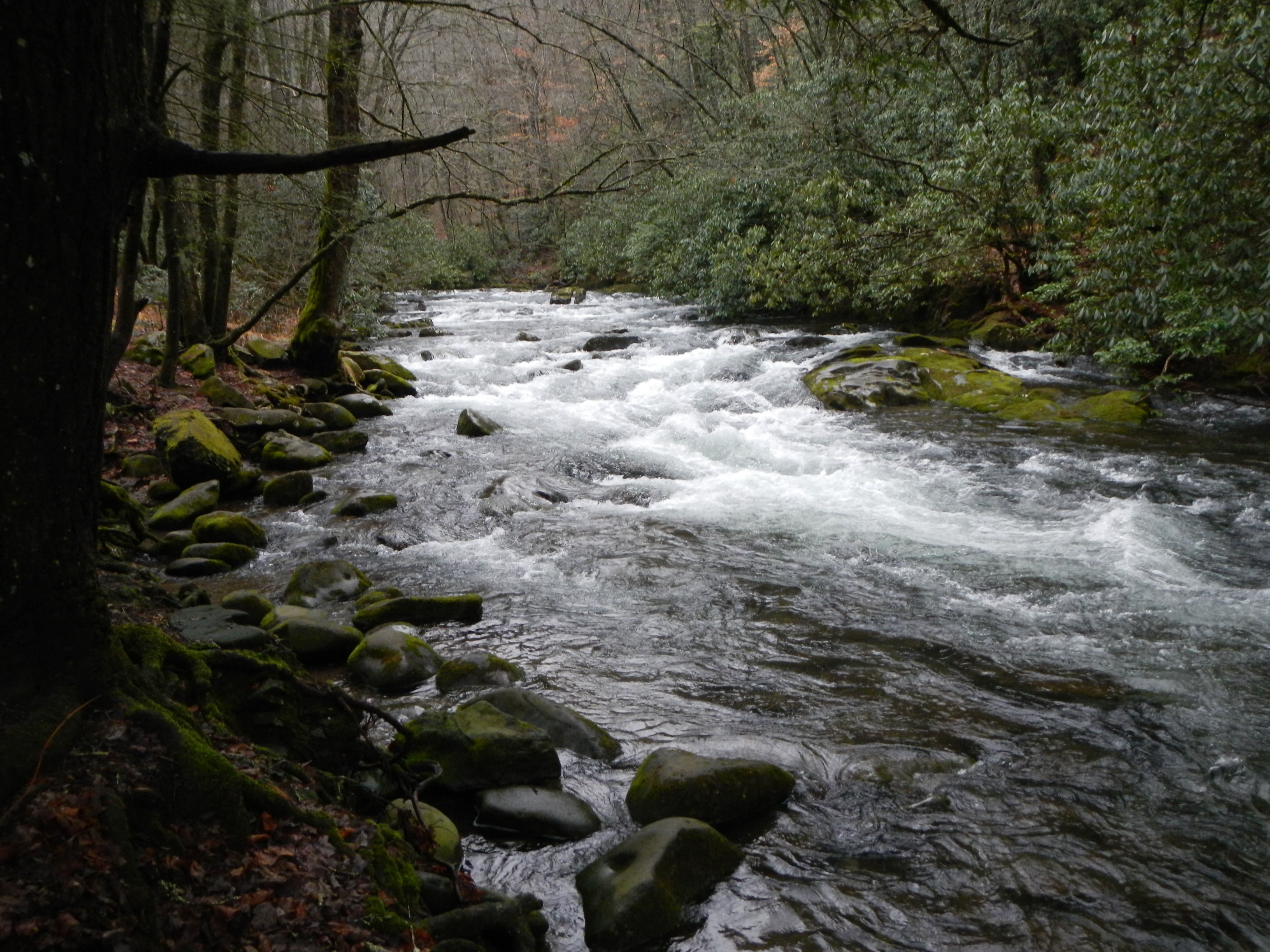
The watershed for the river is like other streams within the park relatively small, less than 200 square miles. It is a beautiful cold water stream. The water is clear and the quality is good. Given the size of the watershed, the river can only be paddled after significant rain.
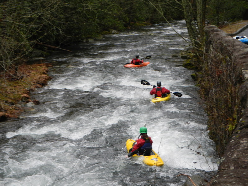
The river is described into two sections for the 7.3 miles from headwaters to the Oconaluftee Visitor Center. The first section, from the Kephart Bridge to the Smokemont Campground the run is predominately through rock gardens, punctuated by ledge drops. In the second section, after the campground, the river gains volume and widens, and continues to be highlighted by a series of ledge drops, Smokemont Ledge and the Elbow.
Below the Visitor’s Center, the river is soon joined by the Raven Fork, increasing its volume by at least one-third. In approximately another half mile the river leaves the national park and enters the Cherokee Indian Reservation. This section through the town of Cherokee was once very popular, but it can no longer be paddled. The Reservation has continued to ban all boating on waters passing through its land. Paddling is completely legal in the National Park; no permit is required. Make certain that you park only in designated parking areas.
Notice: The AW recommended flows of 1000-1500 cfs for this reach are a bit on the low side. Higher flows would likely be more enjoyable, but would severely increase the danger due to l
...
Immediately after a waterfall on river right, there is a challenging set of offset ledges requiring three quick turns to negotiate the rocks. The 15 foot high cascade is formed by Cliff Branch
As the river approaches the road, there is a rock wall on the right. The river entires into a long rock garden with one to two foot ledges. The garden ends with a a fun 2-3 foot ledge drop. This is also an alternative put-in for the upper section.
A quarter mile long rock garden involving quickly negotiating rocks, small drops, and ledge holes. It is the epitome of class 2-3 micro-creeking in the Smokies.
A tenth of a mile above the Smokemont Bridge, the river is divided by a small island. Take the river channel to the right. Paddle near the island as you approach the horizon line for a 3-4 foot ledge. Approach near the left and boof from left to right.