Klamath
14. Weitchpec to Requa
| Difficulty | II |
| Length | 43 mi |
| Avg Gradient | n/a |
| Gauge | Klamath R Nr Klamath Ca |
| Flow Rate as of 1 hour | 2630 cfsrunnable |
| Reach Info Last Updated | July 12, 2025 |
Restoring the Klamath River: A Historic River Reborn The Klamath River now flows freely for the first time in more than a century. The removal of the four lower Klamath dams—J.C. Boyle, Copco 1, Copco 2, and Iron Gate—marks the most ambitious river restoration effort in U.S. history. For [...]Read More
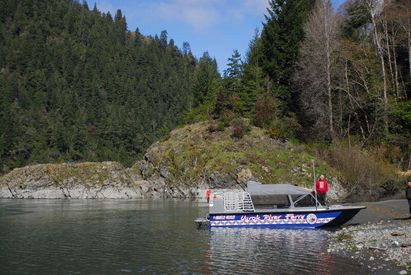
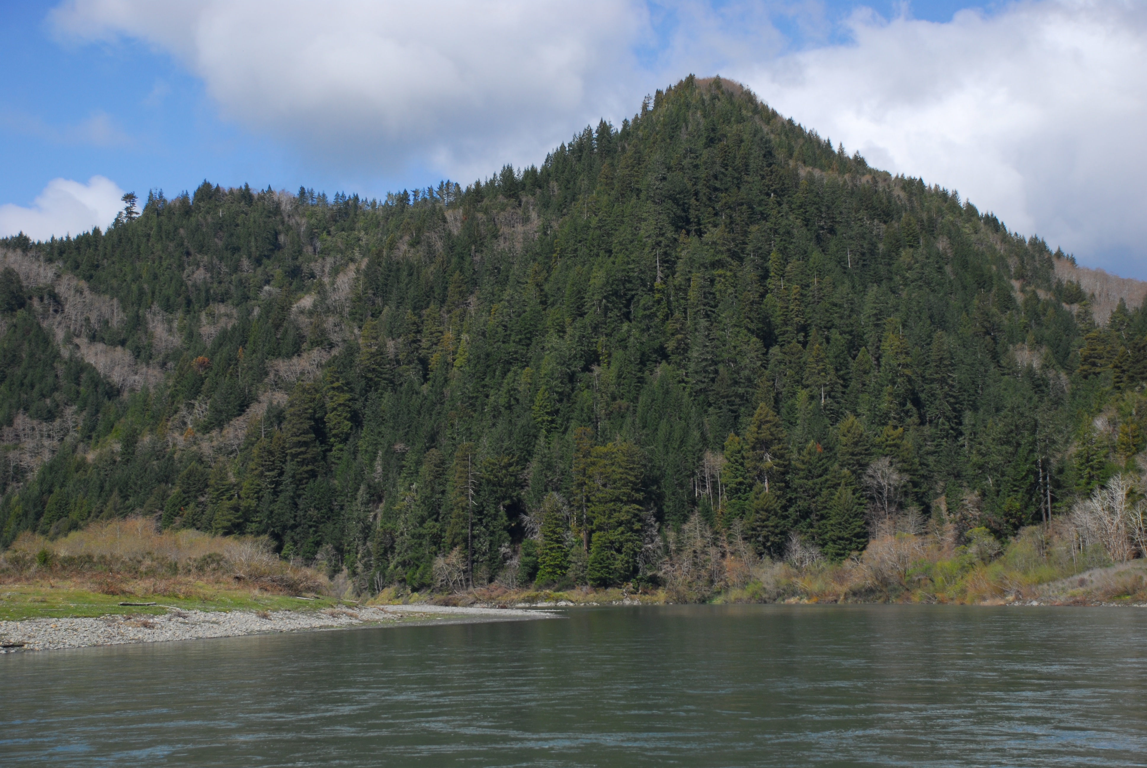
Downstream of Weitchpec, the Klamath flattens and widens as it flows through a remote and sparsely populated corridor—the homeland of the Yurok people. The whitewater is minimal—mostly Class I to easy Class II—but the river’s size and strong eddy lines demand attention from even experienced paddlers. While the scenery has been impacted by logging, long stretches remain undeveloped, with wide gravel bars and tributary confluences providing natural interest.
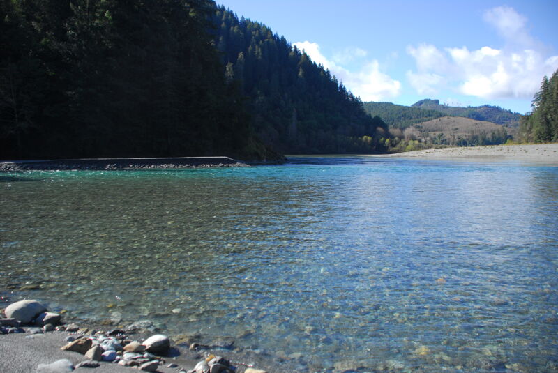
As you approach the ocean, Blue Creek enters dramatically from river right, marking a major landmark. In 2025, the Yurok Tribe acquired over 73 square miles of land along Blue Creek and the eastern side of the lower Klamath River. This land is now permanently managed by the Tribe for wild salmon and steelhead, wildlife, and forest health within the newly created Blue Creek Salmon Sanctuary and Yurok Tribal Community Forest. The acquisition doubled the Tribe’s landholdings and safeguards the long-term health of this critical ecosystem.
Below Blue Creek, the river slows further and wind becomes a more significant factor, particularly in the final few miles approaching the ocean. While this run lacks the visual drama of canyon stretches upstream, it provides a meaningful sense of the Klamath’s scale as it nears the Pacific. Paddlers should plan their timing carefully—wind, tides, and a long shuttle all play a role in how enjoyable this section will be.
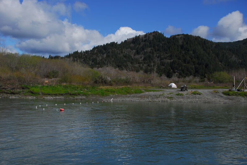
Inquire locally at the Yurok Tribe Weitchpec Office on Highway 96 regarding permission to use this river access, which is on tribal land and accessed via a private road thorugh a residential area and old village site. This access is located on river right just downstream of the confluence with the Trinity River. At Highway 96 mile 23.1, on the river right side of the Klamath River bridge, turn onto the HIghway 169, then continue 0.1 mile before turning onto the private Weitchpec Village Road that descends 0.2 mile to a good gravel bar access site. The road surface transitions from gravel to sand, and 2WD is not recommended. Parking is available on the upper bench. The access itself is on river right downstream of the bridge.
A large bar on river right just downstream of Devil Creek and just upstream of Cappell Creek.
This access at Pecwan Creek is near the end of the Martin's Ferry Road. A shuttle from this points requires a long drive back out and around to the coast.
Ah Pah Dam was proposed as an 813 foot high dam by the United States Bureau of Reclamation. It would have flooded 40 miles of the Trinity River, the lower Salmon River, and 70 miles of the Klamath River, creating a reservoir with a volume of 15,000,000 acre-feet. The project was conceived as a water storage project to supply water to Southern California.
Where Blue Creek meets the Klamath River, it forms the first major cold-water refuge for returning salmon on their journey inland from the Pacific. Studies show that Chinook holding in Blue Creek can lower their body temperature by as much as eight degrees Fahrenheit. This cool-down period is critical to their survival—without it, most Chinook would likely perish before reaching their spawning grounds in the upper Klamath.
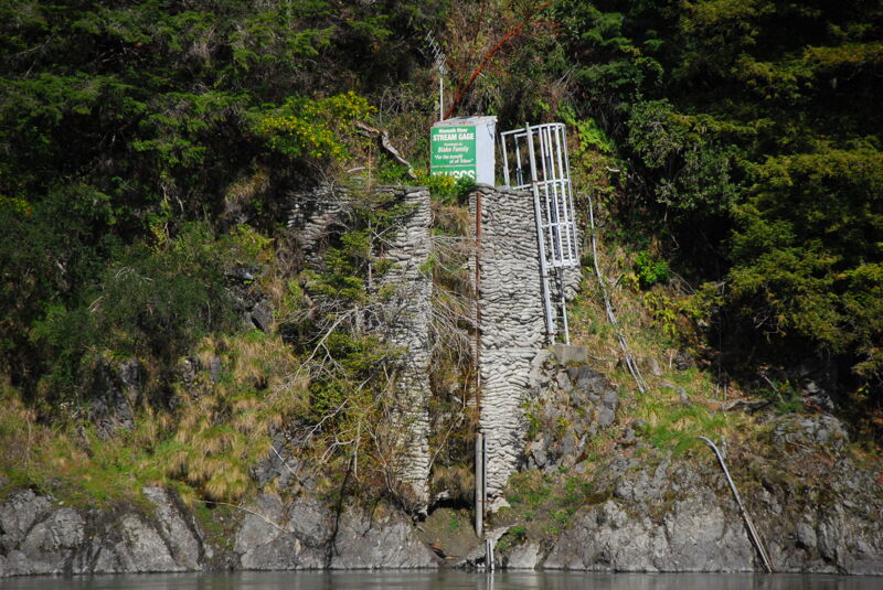
USGS Gage for the Klamath River located on river right.
Public river access on river right in Klamath Glen.
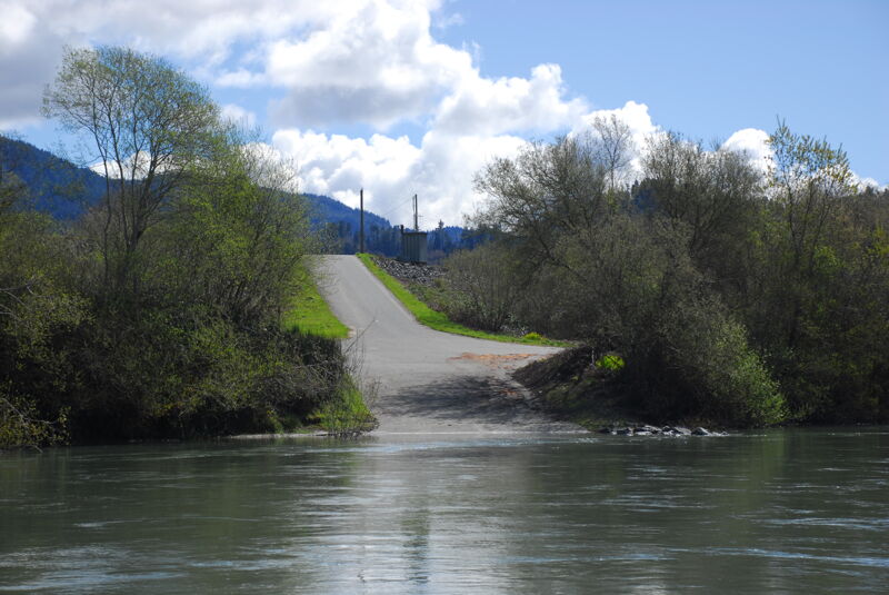
Access wtih a paved ramp and large parking area on river right in Klamath Glen.
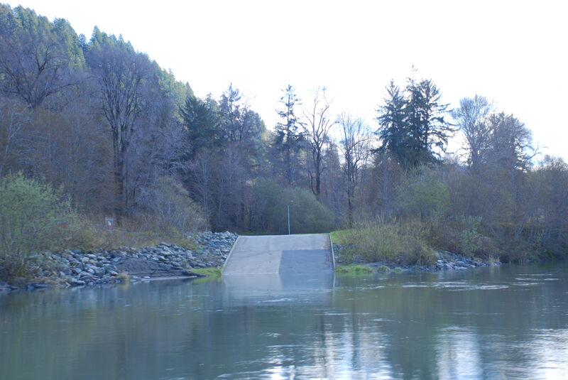
Public river access on river right in Klamath with a paved ramp convenient to Highway 101.
Public access on river right at the end of Mouth of Klamath Road.
Oct 14, 2025
I paddled this from Trinity River just above the gorge (41.1052, -123.6902) to the mouth of the Klamath in 2 full days. Before going I spoke to a few boaters familiar with the region and was kinda concerned that the flow would be so low I may be dragging my boat or choose to abort at Johnsons / end of Hwy 169. There were long stretches of paddling on basically flat water and a few rapids but nothing difficult. If you are happy paddling for hours you'll have a great time. I saw lots of mammals (mostly river otters?) and few humans. Beautiful area, easy camping. I gave myself plenty of time for a battle against wind and tides at the mouth, but it wasn't bad. I wanted to paddle all the way into the ocean but after taking a peek over the sand bar at the beach breaking waves decided I didn't want to be in that water. In hindsight only thing I would have liked to have done differently is take more time playing on the surfable rapids (one at 41.2463, -123.7730 was particularly nice at that flow) in the first third of my trip.
For shuttle, a friend dropped me off and I took Redwood Coast Transit route 20 back to Arcata.
Mar 17, 2018
A trip to the Klamath River hosted by the Yurok Tribe for partners in Klamath Dam Removal. The tour was hosted by Amy Cordalis and began in the estuary at the river mouth and then ventured upstream to Blue Creek, including land that was recently returned to the Tribe along this important coldwater tributary.