Dolores
05. Slickrock to Bedrock
| Difficulty | II+(III) |
| Length | 49 mi |
| Avg Gradient | 10 fpm |
| Gauge | Dolores River Near Bedrock, Co. |
| Flow Rate as of 58 minutes | 16 cfsbelow recommended |
| Reach Info Last Updated | May 11, 2023 |
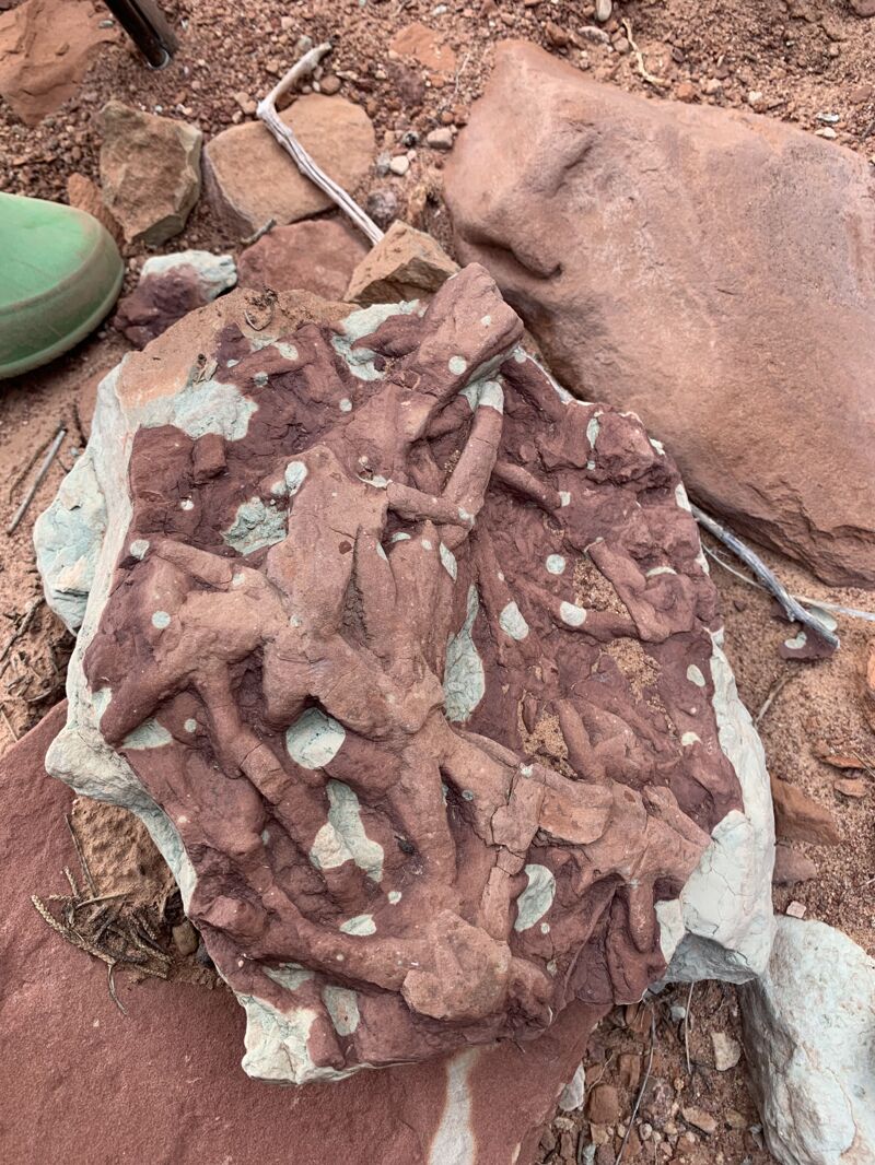
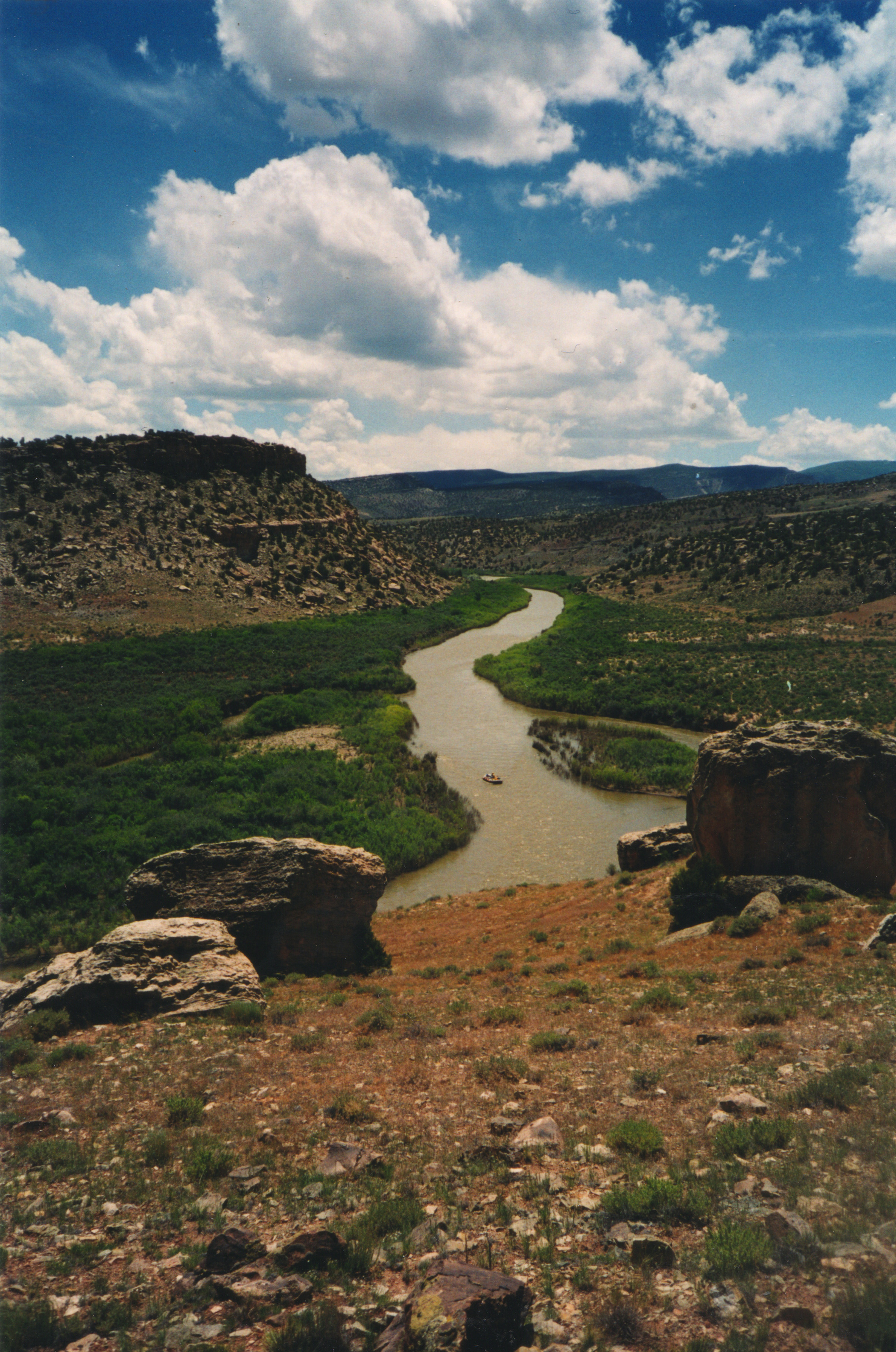
FUN FACT: Some sections of beautiful desert scenery.
SEASON: April to early June depending on snowpack and release from McPhee Dam.
ISSUES: Recreational users have traditionally been the last to be considered in the management plan for McPhee Dam. A proposal to construct additional diversions designed to capture even more of the spring melt will only make the situation worse. Check with the Dolores River Boating Advocates for the latest information on this issue.
LOGISTICS: To reach the put-in, take Highway 141 to the bridge across the Dolores at Slickrock. There is a launch site downstream river left of the bridge. This is private property. The landowner allows river access and parking for $10 a day. The first 15 miles or so of this section pass through mostly private ranch lands so this section is less frequently paddled unless its part of a long multi-day trip. A common and alternate launch at the Gypsum Valley Boat Ramp is near the end of this first part and just above the point where the river enters Slick Rock Canyon. You can reach it by taking Highway 20 off Highway 141. The take-out at Bedrock is on river left just upstream of the Highway 90 Bridge.
DESCRIPTION: This section of the Dolores starts with a mellow float through ranch land before entering Slick Rock Canyon which contains a few easy rapids. You're not going on this run for the whitewater action, but rather the beautiful scenery, desert campsites, and side canyon hikes. That being said there are still a couple of spots where solid intermediate paddling skills are required, and once you're committed to this remote canyon opportunities to exit are limited. While McPhee dam upstream limits the days you can float this river its still a great desert river trip. Low flows have caused encroached vegetation making eddying out and getting to camp somewhat difficult. The Dolores is managed by the BLM and they maintain a
...The Slick Rock access is located on private land on river right immediately upstream of the Slick Rock Bridge (Highway 141). Inquire locally regarding current status of the access but it has been open for use with a fee paid to the owner during releases from the dam.
Intermediate access on river right.
Rapid formed from outwash of Bull Canyon that comes in on river right.
Emerges at lower flows (<1000 cfs) and easier at higher flows.
Rapid formed by outwash from Spring Canyon that comes in on river and is known as a good hike with a pool and grotto about a mile up the canyon.
Stay left of the island and enjoy the hole at the bottom.
The rapid is above La Sal Canyon and should be scouted, particularly at lower flows.
Access on river left that serves as a take out for this section.