Porter Brook
1 mile from Sabael (Rte. 30)
| Difficulty | III-IV+ |
| Length | 0.97 mi |
| Avg Gradient | n/a |
| Gauge | Hudson River at North Creek Ny |
| Flow Rate as of 42 minutes | 1040 cfsbelow recommended |
| Reach Info Last Updated | September 21, 2022 |
River Description
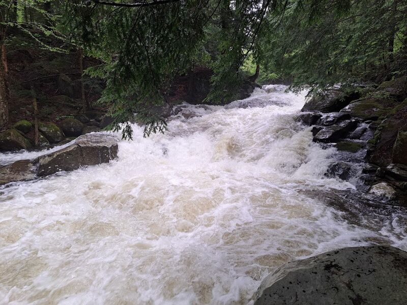
See the New York Exposed book for the description.
According to the book, this creek is as yet unrun. Anyone up for a first descent???
If you run this, please share your fun by adding a comment and a few photos.
Eastern Adirondacks Reaches
Ausable, E. Branch Ausable, W. Branch (1.) Ausable, W. Branch (2.) Balm of Gilead Brook
Boquet (2.) Boquet (3.) Boquet, N. Branch Boquet, S. Branch
Boreas (1.) Branch, The (Boquet trib.) Branch, The (Schroon trib.) Cedar (1.)
Cedar (2.) Cold Deer Creek (Hudson Trib.) Glen Creek
Hague Brook Hudson (0.) Hudson (1. Indian River to North River) Hudson (2. North River to Riparius)
Hudson (3. Riparius to the Glen) Indian (Hudson trib.) John's Brook
...River Features
Put-in
Hwy 30 Take-out
Trip Reports
Log in to add a reportThe hike in along the forest road (single lane, turning to ATV track) starts about a 10th of a mile south of where the creek crossed under the road. It is next to a 45 MPH Speed Zone. Walk or drag the boat behind you for about a mile. After about 20 minutes of hiking, you will come to private property line (Deer Valley Conservation Club). You can go right into the woods to access Squaw (Porter) Brook. Fast moving class I-II brings you quickly to a horizon line (Class IV+ drop). Eddies are few and small to get out and scout. High water may create nasty holes at the bottom of the two-tier drop. Class III narrow boulder-bumping creeking continues all the way to the road with multiple log jams and trees suspended (limbo logs) barely above the river. I spent more time walking through this lumber yard than boating. As you come around the last right-hand bend in the river there will be a lean-to on the right shore and a cabin with two old grey/white cabins further down on the right - just before the road. Be sure to take out in a micro eddy before the cabins to scout the blind drop under the road. This is the only other Class IV - a waterfall/slide dropping about 15 feet into a cove on Indian Lake - a wild way to finish the run for sure. I was hoping this would be on par with County Line Brook, but it is half the size, with a lot of wood and doesn't pool up well below the drops - but keeps moving fast and shallow. Considering the amount of wood that accumulates in the center section with the forced long carries, I don't recommend this run and do not plan to revisit it until a beaver with a chainsaw can clean things up.