Bear Branch
Straight Street bridge to Lusk Creek (2.25+1.5 miles)
| Difficulty | III |
| Length | 3.7 mi |
| Avg Gradient | 42 fpm |
| Gauge | Lusk Creek Near Eddyville, Il |
| Flow Rate as of 19 minutes | 4 cfsbelow recommended |
| Reach Info Last Updated | April 22, 2025 |
Bear Branch is about 2.25 miles of creek, at which point you reach the confluence with Lusk Creek.
At that point you will have an additional 1.5 mile paddle through Lusk Creek Canyon to the takeout.
Shuttle Directions: Take-out to Put-in
While the maps being used here show this as 'New Home Road', other maps show it as 'Straight Street'. Put-in at the bridge (or carry upstream a bit if it looks interesting).
Using USGS StreamStats software, drainage area at this bridge is less than 1 square mile (0.928). The '10/85' (upstream) gradient is 136 FPM. This combination means runoff will be extremely quick.
As with all USGS gauges, the linked gauge (Lusk Creek, where drainage is 43 square miles) will update online only once per hour, and then posts data which is already 20-30 minutes old! By the time the gauge way downstream indicates 'runnable' flows, it is possible (likely) this tiny creek will have already run out.
To catch something this tiny, you need to be within a half-hour or so of the put-in when heavy rains hit, be watching the weather radars, and be geared up and ready to roll as soon as the heaviest rain passes. Drop a shuttle vehicle at the take-out (for Lusk Creek), and drive to this put-in (and be prepared to run something else or be 'skunked' if this didn't come up enough, or has already run out).

Flow will nearly double with contribution from nearly equal-sized trib.
At this point Bear Branch has total drainage of 3.3 square miles, and merges with Lusk Creek with drainage at this point of ~13.7 square miles (for a combined drainage area of ~17 square miles).
If Bear Branch was boatable, Lusk will be running big!
Some maps show this as Reynolds Branch Road, while more show it as Ragan Road. (Some show it as crossing the Lusk, others show it dead end there.)
Oct 14, 2007
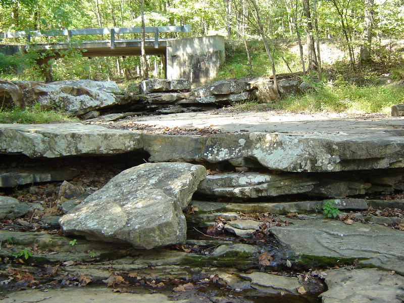
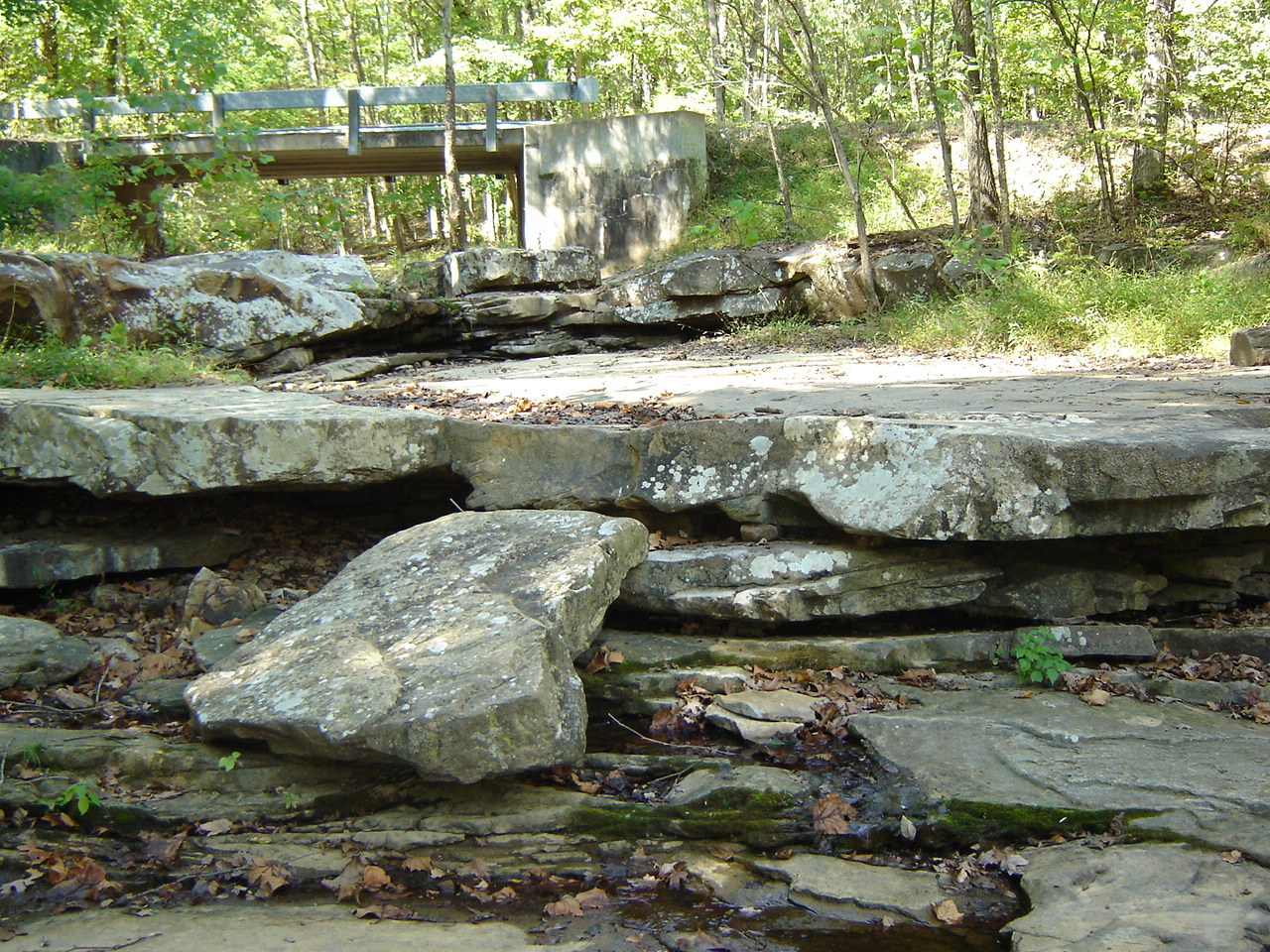
This is the bridge where you put on to run the river. Just on the north side, photo right, is a small spot to park maybe up to 3 vehicles. This part of the run is on private land, the last half is through the Shawnee National Forest.
Creek bed ledges on the run
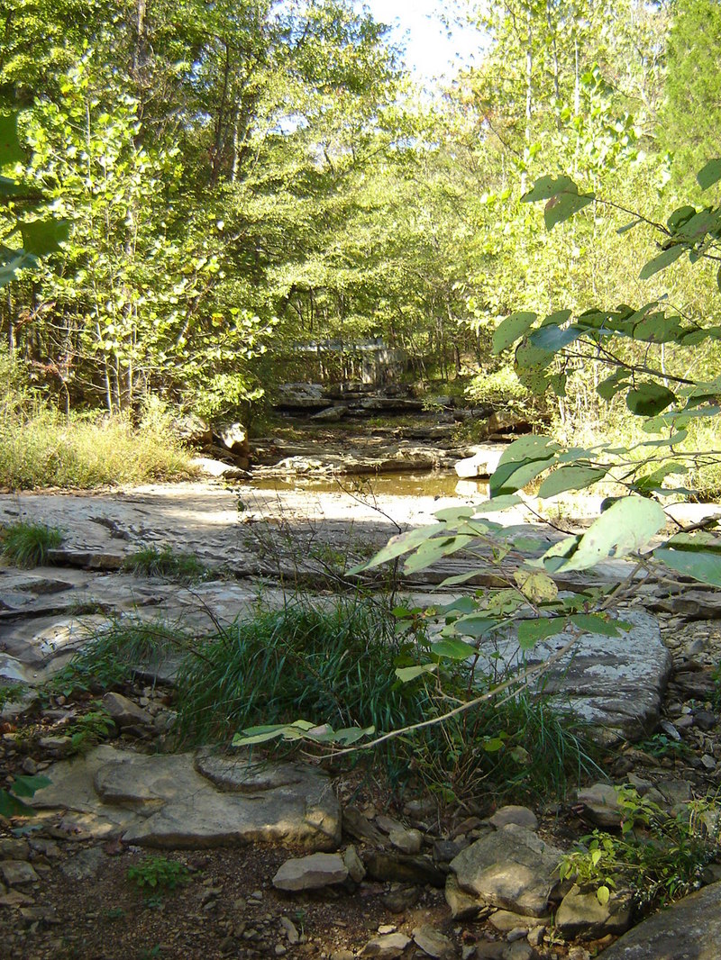
Oct 14, 2007
Further down from the put in looking up river.