Yellow
4. Brown Bridge Road to Hwy 212 (above Lake Jackson)(Cedar Shoals)
September 26, 2004
| Reporter | Will Gosney |
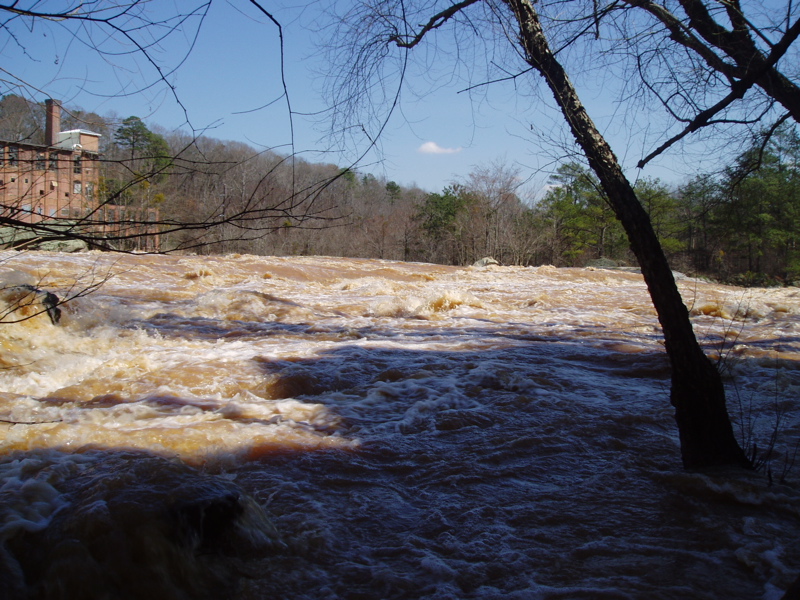
Viewed river at 240 cfs. Did look like it was close to a minimum level.
At this level, the big rock in the middle of the river below the dam looked like at higher levels it would be slightly undercut on the left side.
Will