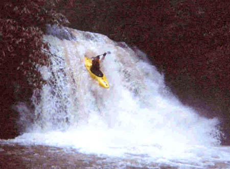
Yellow Creek
SR 1242 to Cheoah/ US 129
August 8, 2004
| Reporter | Robert Maxwell |
On 8/7/04 I put a gage up on Yellow Creek. Its located at the take-out on Hwy 129 at the Yellow Creek & Cheoah confluence. It is a spray painted gage, upstream on river left of the culvert -- best seen from upstream river right. 0' is the base of the culvert. It was running 5' when I painted it, so the gage actually starts at 6' and caps out at 5ft. The marks are in 2' incraments. I would assume a minimum run would have to be somewhere over 1ft. Please, start reporting levels so we can dial in a low, med and high for this one.