South Fourche LaFave
Hwy 7 to Deberrie low-water bridge (11.3 miles)
September 20, 2009
| Reporter | Candice Dunn |
| Gauge Reading | 5.5 at South Fourche LaFave River near Hollis, AR |
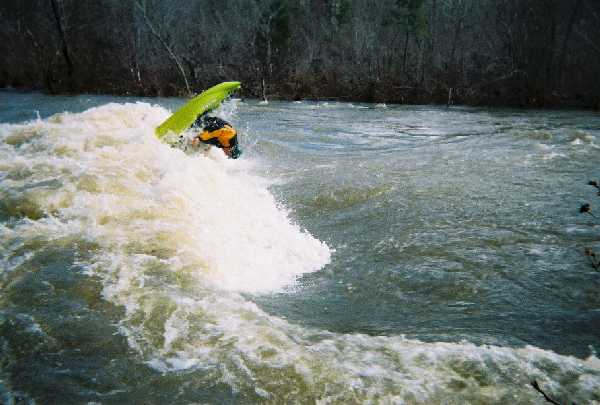
I floated this river at a 5.5; 6 is considered dangerous so the current was moving fast this day.
There's a horizon when coming upon the rapid. Go river left and avoid the hole in the middle of the river. There's a rock in the middle of the river that's hidden at this level. If you do go river middle then you will go over this hidden rock and plunge into a 4 ft hole. Regardless if your canoe has floatation, you will surely swim...