Calloway Creek
Confluence of Smith Fork to KY River (2.5 miles)
| Difficulty | II-IV |
| Length | 3.3 mi |
| Avg Gradient | 70 fpm |
| Reach Info Last Updated | May 9, 2019 |
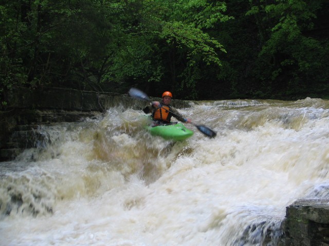
Calloway Creek was discovered in 2002, and is a local boater favorite after a good rain. Calloway boasts numerous, non-stop, steep, vertical and chaotic class IV slide/ledge rapids through a spectacular high walled canyon. First time paddlers of Calloway should posess good boat scouting skills or be following a Calloway veteran as there are numerous horizion lines and the potential for strainers is high.
Barry Grimes
Oct 24, 2007
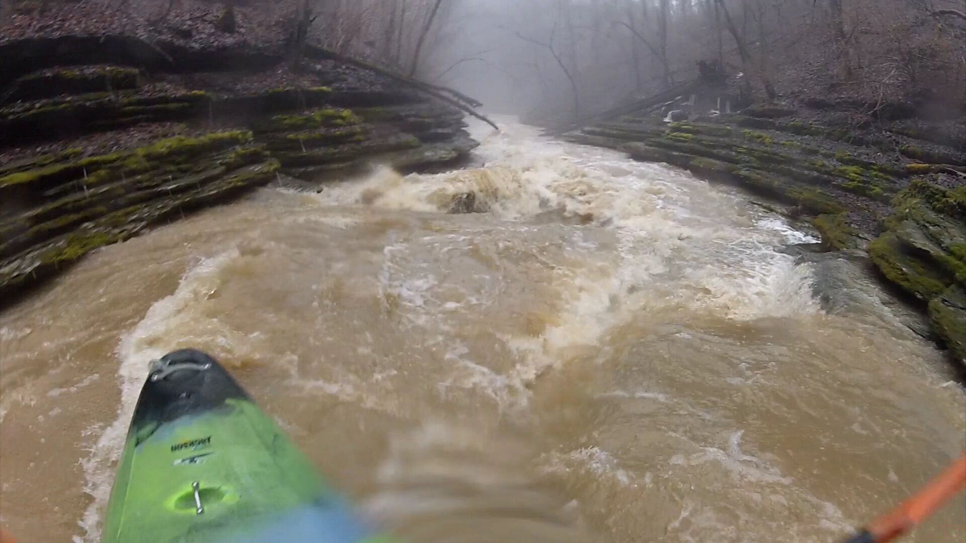
calloway can be run really low. my buddy dagger dave and I once went there and he would not take no for an answer even though I thought it was way too low way way way too low like 250? cfs. the first half mile was a bad scrapper, real bad and I was real pissed off to be beating the hell out of my boat. there are two cattle gate fences that come up and are easly avoided, after the second gate the creek gets so steep that almost no water is required. steep blind turns log flume style banks appear so tight, like 2-3 feet wide, that 50 cfs is enough to float through the trough. I would not want to be here at really high water plain and simple. Take this creek seriously.
Apr 30, 2005
Eddy left to scout. Drive hard right and turn back left to hit the boof.