Saint Vrain Creek, North
02. Buttonrock Preserve to CR 80 (Proving Grounds)

| Difficulty | IV(V) |
| Length | 1.8 mi |
| Avg Gradient | 110 fpm |
| Gauge | North Saint Vrain Creek Below Buttonrock (ralph Price) Reservoir |
| Flow Rate as of 1 day | 19 cfsstale data |
| Reach Info Last Updated | November 20, 2020 |
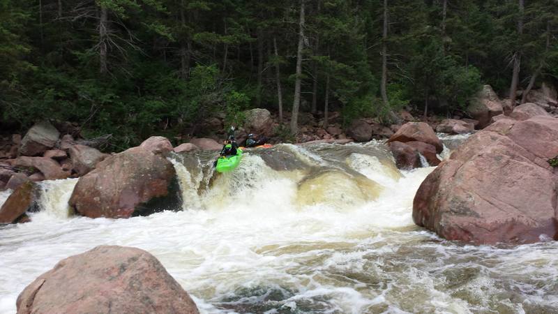
The put-in for this section of the Saint Vrain is at the Button Rock Preserve Access Gate. There is anti boating signage at the Button Rock Park entrance gate but it refers to the two reservoirs upstream and the class IV between them. This section of the Saint Vrain is short but sweet, clocking in at about 2 miles of quality boulder gardens that winds through a scenic granite canyon.
The beginning of the run starts and ends with read and run class III creeking but once the canyon restricts, the action begins. This marks the beginning of some meaty class IV whitewater with one or two class V- in the mix. There are several steep boulder gardens in the Proving Grounds. This section of NSV does not follow the road and many of the rapids will want to be scouted if you don't have a guide.
To Get There: NORTH out of Lyons on HWY 36 towards Estes Park and after three miles turn left on CR 80. Follow the road all the way to public parking for ButtonRock, put on and paddle down as far as your heart desires. This run can be linked to Shelly's.
The various reaches of Saint Vrain Creek,
Upper NSV (Class V+/VI-),
Middle NSV (Class IV/V),
Lower NSV (Class II/III),
Upper SSV (Class V+/VI-),
SSV (Class V/V+), and
Left Hand Creek (Class IV).