Sturgeon (Menominee R. trib.)
Sturgeon Dam (1.1 miles)
| Difficulty | III-IV |
| Length | 1.1 mi |
| Avg Gradient | 15 fpm |
| Gauge | Sturgeon River at Us Hwy-2 at Loretto, Mi |
| Flow Rate as of 39 minutes | 138 cfsbelow recommended |
| Reach Info Last Updated | March 9, 2026 |
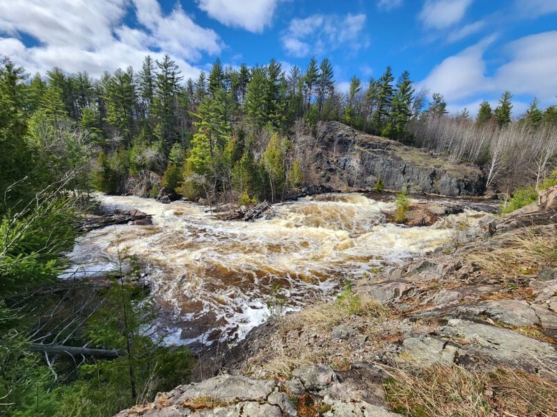
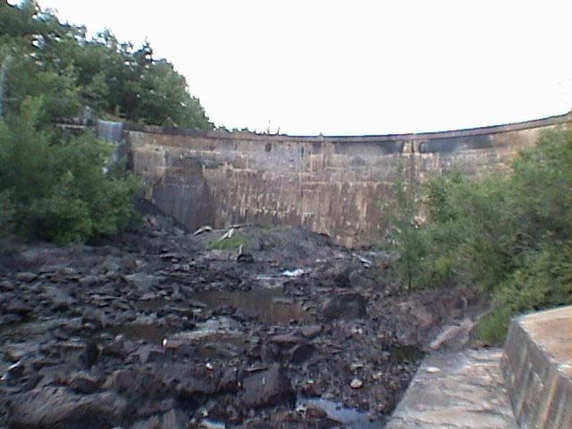
Removal of the Sturgeon Dam near Norway, MI (summer of 2003 through autumn of 2005) resulted in a paddling destination which is convenient to a few other popular runs (Piers Gorge on the Menominee and Horeserace Rapids on the Paint).
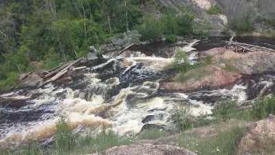
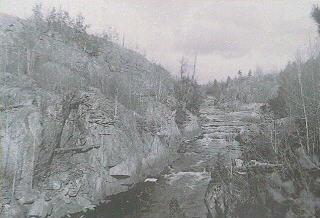
A scenic gorge is big water class III and IV during the high flows of early season, and more moderate class II and III at lower flows.
See additonal 'User Comments' below for the additional information regarding this reach.

Upstream of our indicated put-in, it appears there may be one brief additional rapids. This may be accessible via a carry-up or via alternate access (logging roads off of Hupp Road or Foster City Road / 1 / 569), but may not be worth the extra bother and extra 1.0-1.75 miles (or more) of otherwise flat water paddling.
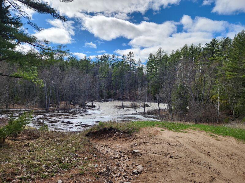
From the take-out, take Power Dam road back to Swede Settlement drive and turn left. In a short while you will come to a T-intersection. Turn left onto Burgeons Backwater Rd. Just past a 90 degree bend, Burgeons Backwater Road will cut off to the left and become a dirt road. Follow this dirt road for about 1.4 miles until you see a two-track road to your left. There should be a sign that says 'Sturgeon River Park' . Follow this two track for about a mile. You will see signs with red letters that direct you to the put-in.
Apr 29, 2025
Spring scouting trip. Water was really high. Looking at the gauge now, it was on its way up to the highest for the year, e.g. 1990. Too beefy to run. There did not seem to be a good line through the lower section.
Jul 12, 2014
There is a nice hole on the river right channel offering play at 372cfs. Possibly sticky at high/er levels. Followed by a few 2-3 foot ledges and a small but fun wave near the end of this section.
May 25, 2009
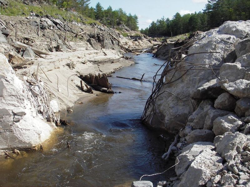
I received these photos from another boater (not recalling who right now) and figured they should be shared. They show the tail-end of the dam removal process.