Nancy Town
Lake Russell to GA 105

| Difficulty | III-V(V+) |
| Length | 2 mi |
| Avg Gradient | 100 fpm |
| Gauge | Broad River Above Carlton, Ga |
| Flow Rate as of 16 minutes | 322 cfsbelow recommended |
| Reach Info Last Updated | April 17, 2011 |
Nancy Town is a small but intermittently steep creek.
BE VERY CAREFUL. After a small dam on this run you will find a slide followed by an unrunnable waterfall.
An alternate access point exists below Lake Russell.
This is a serious steep creek with huge waterfalls, big slides, and some sick drops.
A massive waterfall exists below a small dam.
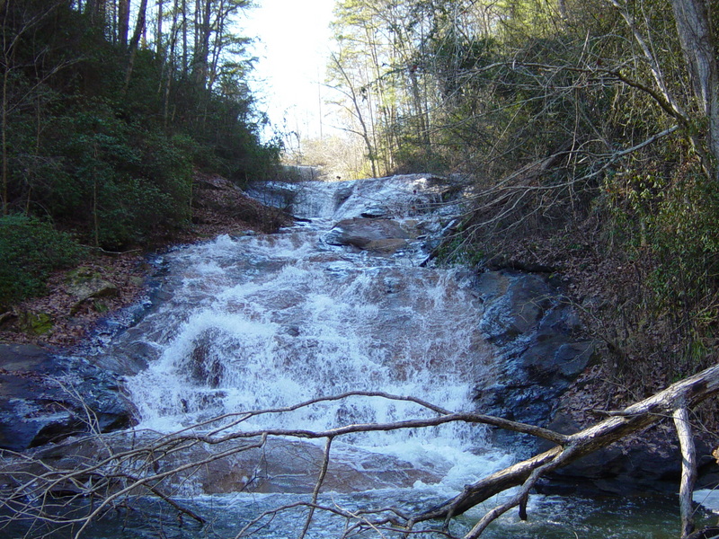
The last rapid is Wolford Shoals.
Jan 21, 2008
This is the spillway/dam the marks the beginning of the run.
Entrance to the first big slide
This is the first rapid, and it's a big one. Probably 60 vertical feet total. You can see the spillway/dam at the very top if you look close
Looks unrunnable, might be with more water though
Jan 21, 2008
I hiked to the falls on this run today from Lake Russell. The map on this page shows the run starting at the spillway from Lake Russell, but until you get to the second dam there is nothing but completely flat creek. After the second dam, a little over a mile downstream from the Lake Russell spillway, its gets really steep for about a quarter of a mile. The first rapid is a huge slide probably 100ft long and dropping around 60ft. At the bottom there is a pool with and entire tree in the landing zone. Just around the corner after that is the next drop, a vertical 35ft falls onto rocks. Looks unrunnable unless more water changes things dramatically. Wouldn't be too hard to portage from what I could tell. After that there is one more smaller drop, about 8ft or so that looks clean and then things mellow out. The first big slide would be runnable with enough water and if the tree at the bottom was removed. However, all of this is on private property and any boating here would surely be considered tresspassing. If anyone knows if this has been run before, please post.