Payette, S. Fork
3. Danskin Station to Alder Creek Bridge(Swirly Canyon)
| Difficulty | II-III |
| Length | 8.6 mi |
| Avg Gradient | 20 fpm |
| Gauge | Payette; South Fork Below Deadwood Confluence |
| Flow Rate as of 1 hour | 1381 cfslow runnable |
| Reach Info Last Updated | June 18, 2026 |
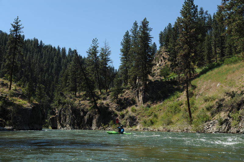
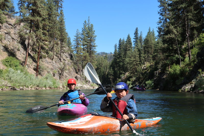
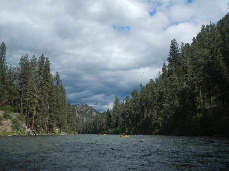
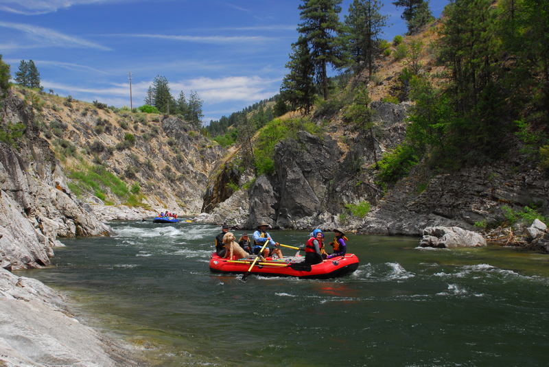
This is a beautiful section of the South Fork Payette in a scenic gorge that usually has less traffic than the 'Main'. The section is named for its strong eddies and wave dynamics but the whitewater is no more than class II-III.
This section can be run during most of the spring/summer/fall. Levels can be on the high side during spring run-off (May/June) and lower as September drags on. After the Deadwood shuts off (in 2015 it was August 31), flows can be in the 345 range, which results in some scrapey sections, but the run still has some fun rapids, and very clear water.
About a mile below the Danskin put-in the river makes a sharp right-hand turn into the canyon. Great class II and III whitewater in a scenic gorge continues for about two miles.
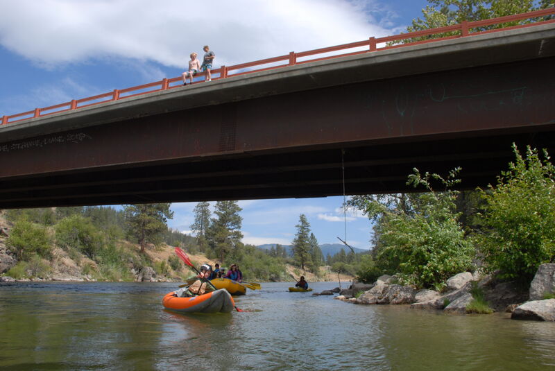
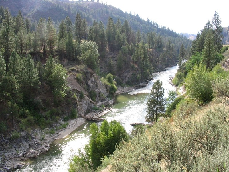
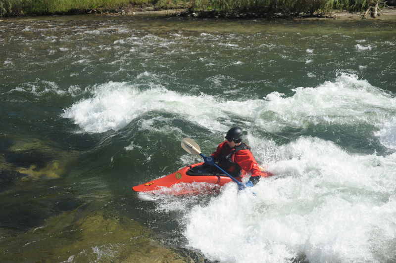
As you exit the canyon, the remains of the Grimes Dam provides a nice play wave known as UPW (Ultimate Play Wave). The rapid has changed over time and is not as epic as it once was.
After 5.6 miles, the whitewater tapers off and you will reach Hot Springs which serves as an alternate take-out or a put-in if you are looking for a good SUP run. The Hot Springs Forest Service Campground is also located here. It's another 2.5 miles down to the Alder Creek Road. You can also continue on down through the next 4 miles of the Garden Valley, a good flatwater run.
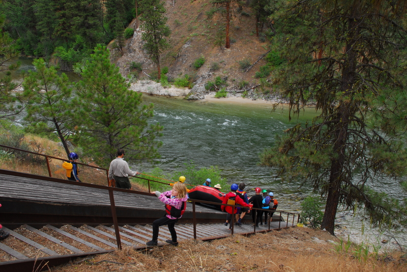
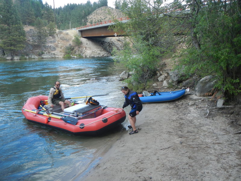
The put-in is at Danskin Station at Highway 17 mile 19.5. Access is available through a steep set of stairs down to the river and a raft slide. The parking area is a fee site at $3.00/day or $20.00 season pass for the Payette system. Season passes can be purchased at the Forest Service service centers or a number of retail locations in the area. Day passes can be purchased at the river access sites.
Where the river takes a hard bend to the right and then back left, Swirly Canyon begins. This tight gorge is about half a mile in length. This section has lots of boils and strong eddy lines that can easily flip those without a good brace. Long swims can result. USGS River Mile 90.6.
The UPW forms at certain flows at the former Grimes Pass Dam site. Grimes Dam site is not an access but it is a historical site at the pull out at Highway 17 mile 17.1. This old hydropower dam failed in 1943 and there is an interpretive site along the highway. At USGS River Mile 89.9.
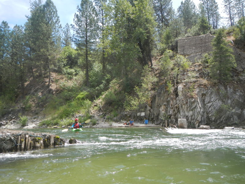
A good intermediate access point is available at Hot Springs at Highway 17 mile 13.9. For boaters floating downstream, the access comes up quickly and is easy to miss, so stay alert if you plan to stop here. This is a convenient take-out where everyone can enjoy a soak while shuttle drivers retrieve vehicles from the put-in. The trail climbs steeply from the river to the parking area, making it suitable for hand-carried craft but impractical for larger rafts.
The popular Forest Service Hot Springs Campground, which includes reservable group sites, is located across the highway from the river. The campground is hot and exposed during the day, with adjacent highway traffic, but benefits from evening shade as temperatures cool and traffic subsides.
The take-out is at Highway 17 mile 11.7 (just west of the airstrip) where the Alder Creek Road heads 0.2 south from the highway to the Alder Creek Bridge across the river. The access is the downstream river left side of the bridge.
Jul 1, 2024
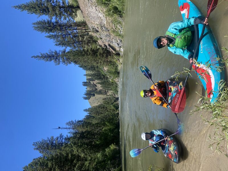
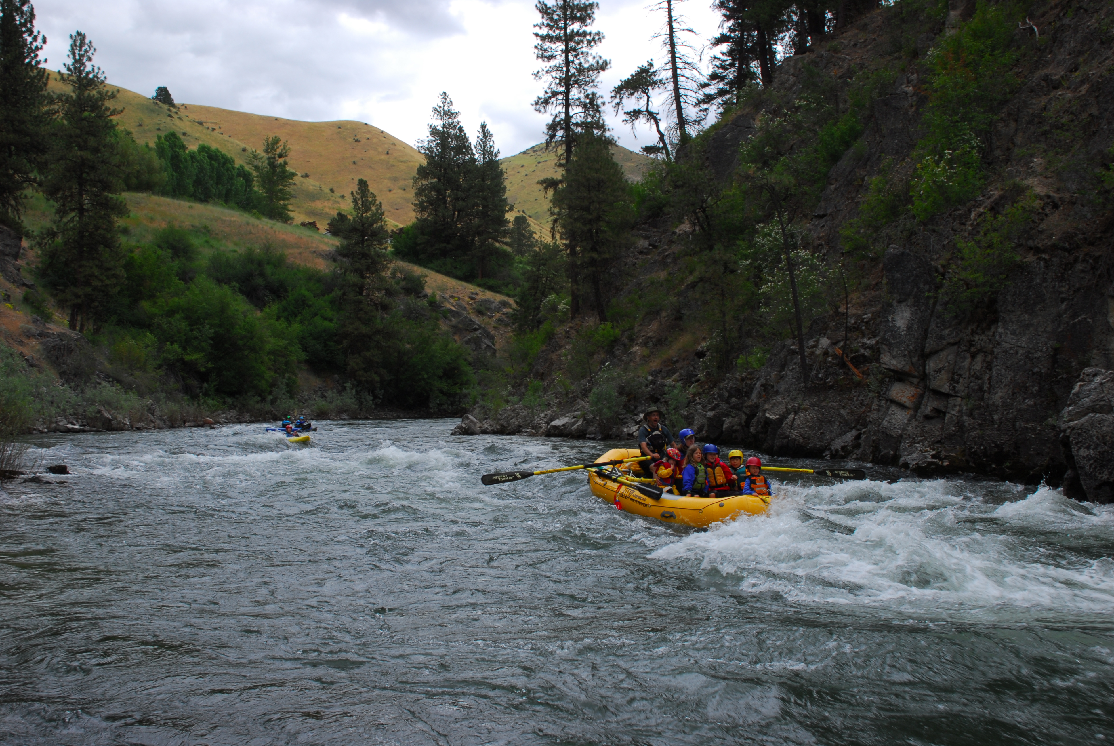
Always a crowd pleaser with the kids, it was great to get on another run of Swirly Canyon. We started shortly after 1pm, with some of us coming from upstream on a run of the Canyon, and finished up around 4pm that included a quick dip at the hot springs along the way.
Jun 12, 2024
It was a a bit of a rough, but fun ride, with lots of big braces involved but we made it through 'Swirly Canyon' upright in our half slices (which I was grateful for since rolling in there seems rough)! We had two packrafters with us who reported a much easier time.