Left Hand Creek
01. James Canyon Drive to Buckingham Park(Left Hand Canyon)
| Difficulty | IV |
| Length | 2.7 mi |
| Avg Gradient | 146 fpm |
| Gauge | Left Hand Creek Near Boulder, Co. |
| Flow Rate as of 1 day | 16 cfsstale data |
| Reach Info Last Updated | June 6, 2022 |
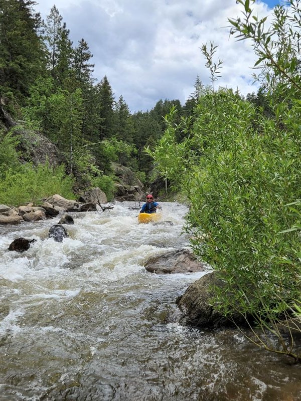
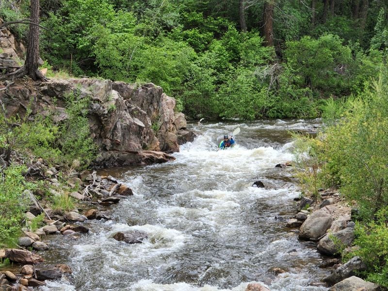
This manky little creek can roar in the rain/snow mix events that frequent N.E. Colorado. The unique mixture of Front Range Colorado weather mixing snow and rain and draining some uniquely steep fire prone terrain.
Left Hand Creek is seasonal by nature. It has irregular in-flow rates due to dewatering in the headwaters and leeward geography. This creek has wood and lots of willow combining with low and abandoned bridges.
This run could start at the James Creek confluence with Left Hand Creek, or run from the lower Jamestown bridge with supporting flows.
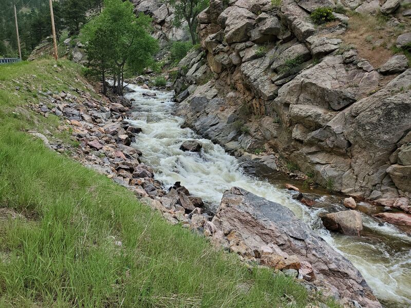
Scout the steeper turns below Jamestown and the rocky drops after the underpass in the 2000 mile of Lefthand Canyon Drive.
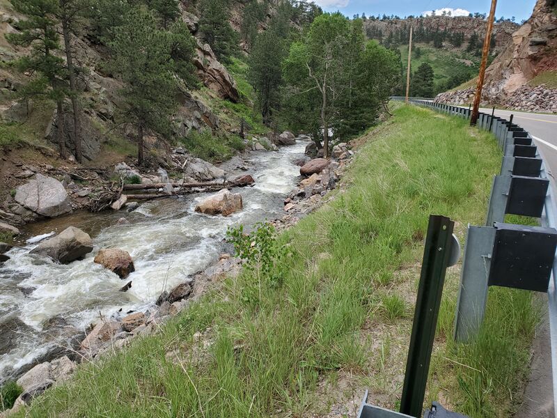
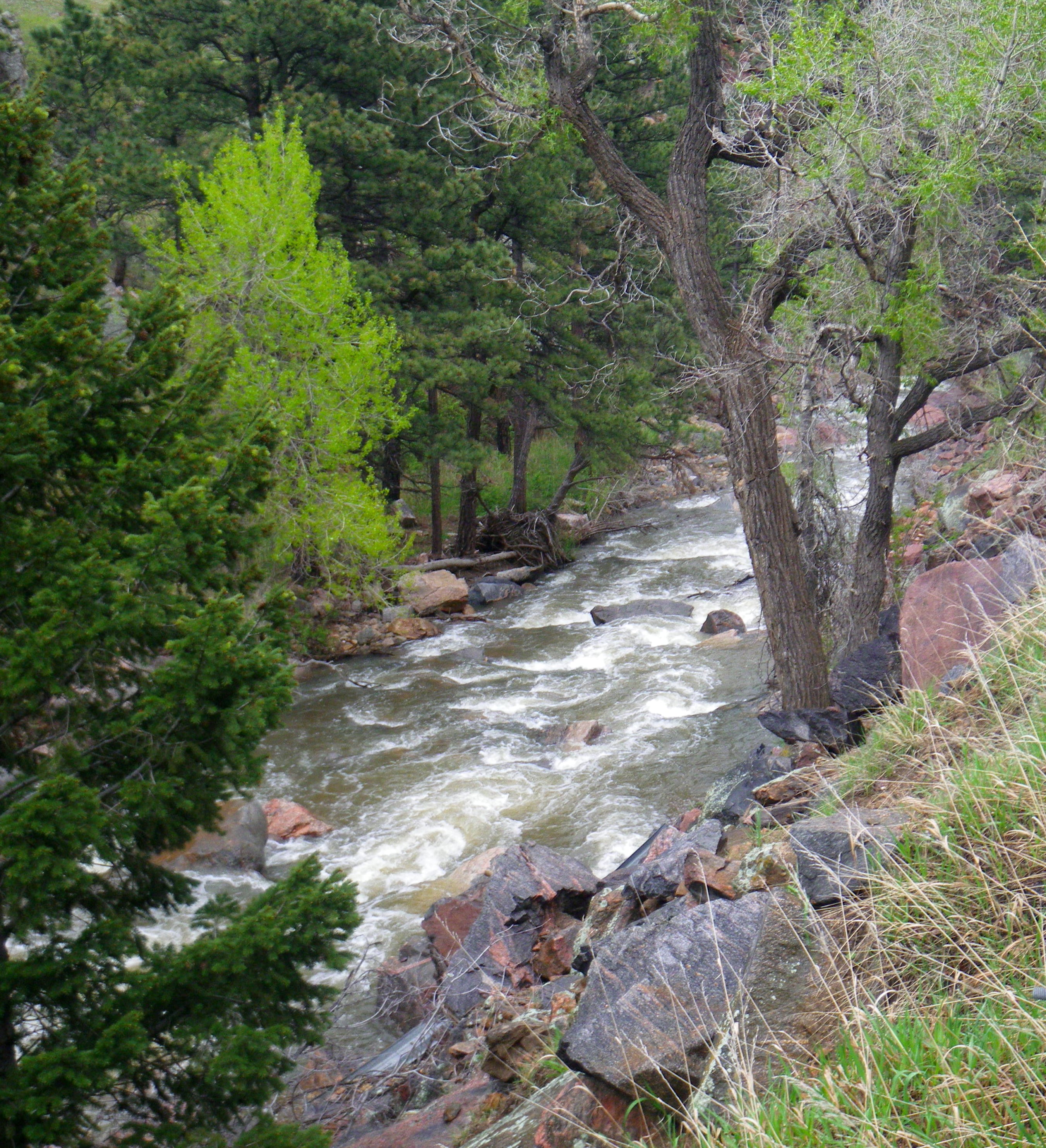
Fires in 2020 may increase chances of strainers. Catastrophic floods of September 2013 re-arranged James Creek and Left Hand Creeks and peoples lives, killing one. The stream corridors are bulldozed, filled with debris, stumps and logs, along with bridgeparts and remaining debris. The new series of bulldozer vanes installed below Jamestown appear as Class II step pools. There are sharp and irregularly shaped rocks in the tight curves below Jamestown. James Creek flows through Jamestown and joins Left Hand Creek at the bridge where upper Left Hand Canyon.
The gauge is 1.4 miles West of the Intersection of HWY 36 and Left Hand Canyon Dr, and was installed in May 2014, after the 2013 Flood.
Also see Colorado Rivers and Creeks II, by Banks and Eckardt (The Bible), for info on this and most of the other kewl runs of Colorado.
The various reaches of Saint Vrain Creek: Upper NSV (Class V+/VI-), Middle NSV (Class IV/V),
...
The man-made culvert in the 2000 mile of Left Hand Canyon that one must kayak through before entering a bedrock mini-canyon.
There is a nice parking lot on river left after a small ledge drop and bridge just above Fighting Miner if you choose not to run that drop.
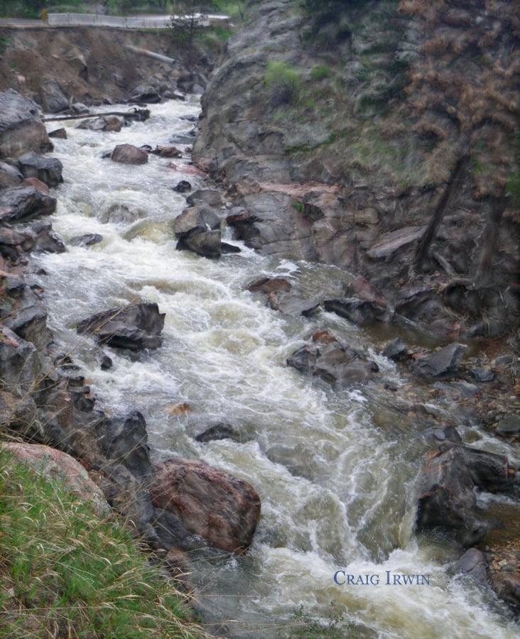
This mini gorge of bedrock was named after the boof log entrance served up a beating, so Irwin called it Fighting Miner. The creek makes a hard right had turn after exiting the underpass/tunnel. This chunky dropping cascade bears more bedrock in 2015 than it did in early 2013. Lots of trees are regularly getting hung up in this canyon, so pre-scout or get out.
May 9, 2015
The bones of the goods.