Rock Creek
Chenal Parkway to Boyle Park (7.2 miles)
| Difficulty | II+ |
| Length | 7.5 mi |
| Avg Gradient | 26 fpm |
| Gauge | Rock Creek at 36th Street at Little Rock, Ar |
| Flow Rate as of 26 minutes | 6.53 ftrunnable |
| Reach Info Last Updated | February 26, 2009 |
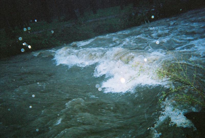
This is an urban creek running through west/southwest portions of Little Rock. Water Quality leaves much to be desired. Watch for crossing pipelines and bridges. Stream is extremely flashy as is rises and falls rapidly after heavy rains.
Several places to access the creek for short or long runs.
Thanks to John Svendsen for the following info:
From One Source Lumber on Chenal Parkway, it becomes a 'head-duckin' slalom course' as you approach Pride Valley road.
We call the area below the Beaver Pond to Bowman Curve the 'Enchanted Hobo Forest' due to the number of hobo camps hidden amongst the trees
From Bowman Curve the trip changes its character. Go under the bridge left channel (surprising how many of 'em work better to the left). Wave to the passing cars stopped on Markham and go under Markham Street.
At Shackleford Road, slip under the bridge on the second channel from the left, slipping between two large rocks as you drop out from under the bridge. Warning: If you take the middle channel you will hit a boulder field and have a very good likelihood of swimming to the amusement of hundreds of commuters.
From there comes the best part of the trip as the gradiant picks up even more. It starts with the I-430 tunnel -- we're talkin' long and dark. Again think the left channels (2nd from left is the easiest).
Warning: As it opens back up at Arkansas Sports Clinic, keep eye open for a large water pipe crossing the creek soon thereafter -- usually you'll have to portage. After you go under I-630 get ready again -- streamwide water pipe at 'clothesline level'.
If you exit at Kanis Park do so on river left just above the ford -- there is usually a river wide keeper below the ford. From Kanis Park to the bridge at Boyle Park there is only one remaining feature to mention and thats the 'dam' that was built in the park -- low water, skirt the channel on river right, high water -- go righ
...No trip reports yet.