Bear
Petoskey: Sheridan Street to Lake (1.15 mile)(Bear River Valley Recreation Area)
| Difficulty | II-III |
| Length | 1 mi |
| Avg Gradient | 66 fpm |
| Gauge | Jordan River Near East Jordan, Mi |
| Flow Rate as of 30 minutes | 205 cfslow runnable |
| Reach Info Last Updated | March 12, 2026 |
Quick Facts:
Location: Downtown Petoskey.
Shuttle Length: 1.3 miles. (See details in 'Directions' Tab.)
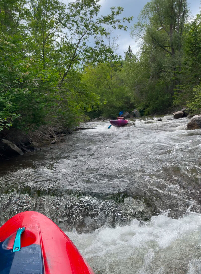
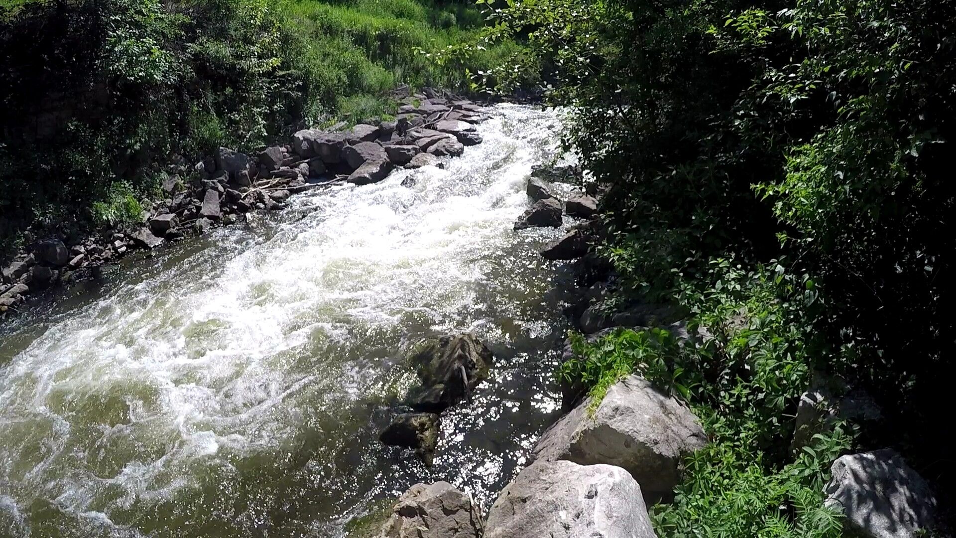
Character: Boulderbed and short-ledge gradient within often human-modified banks (quarry rock and metal plate).
Put-in is approximately 657' elevation.
Take-out is approximately 581' elevation (Lake Michigan mean level).
Thus total elevation change is approximately 76'.
----------------------------------------------------------------------------------------------------------------------------------------------------------------------------------------------------------------
User comments (from years past) mention a couple different options for gauge information. However, the website for Northern Michigan Paddling Club has gone defunct. A Facebook group exists, but appears to be inactive for years now. Another user-comment mentions a Twitter site, but that also appears to be inactive for years. Failing any currently reliable source of on-site data, and being unaware of any online-accessible gauge for this river, we have linked to the USGS gauge on a nearby river. Obviously streamflows will not 100% correlate (as indicated by the tilde '~' when reporting those gauge readings), but the reference gauge should at least provide some indication of when there is water in the general area.
1/2 inch of rain through summer and fall will provide enough water to boat it. 1 inch of rain will cover most of the rocks. Water levels drop fast, typically within 7-12 hours from peak flows.
----------------------------------------------------------------------------------------------------------------------------------------------------------------------------------------------------------------
Removal (early 1990's) of a series of dams in town allowed a fine bit of gradient to be revealed. The city acted quickly to establish a park with walking trails in the area formerly inundated by the
...Named for the strong eddy river right that will pull you into the hole if you're not careful. The feature itself is easy to punch through.
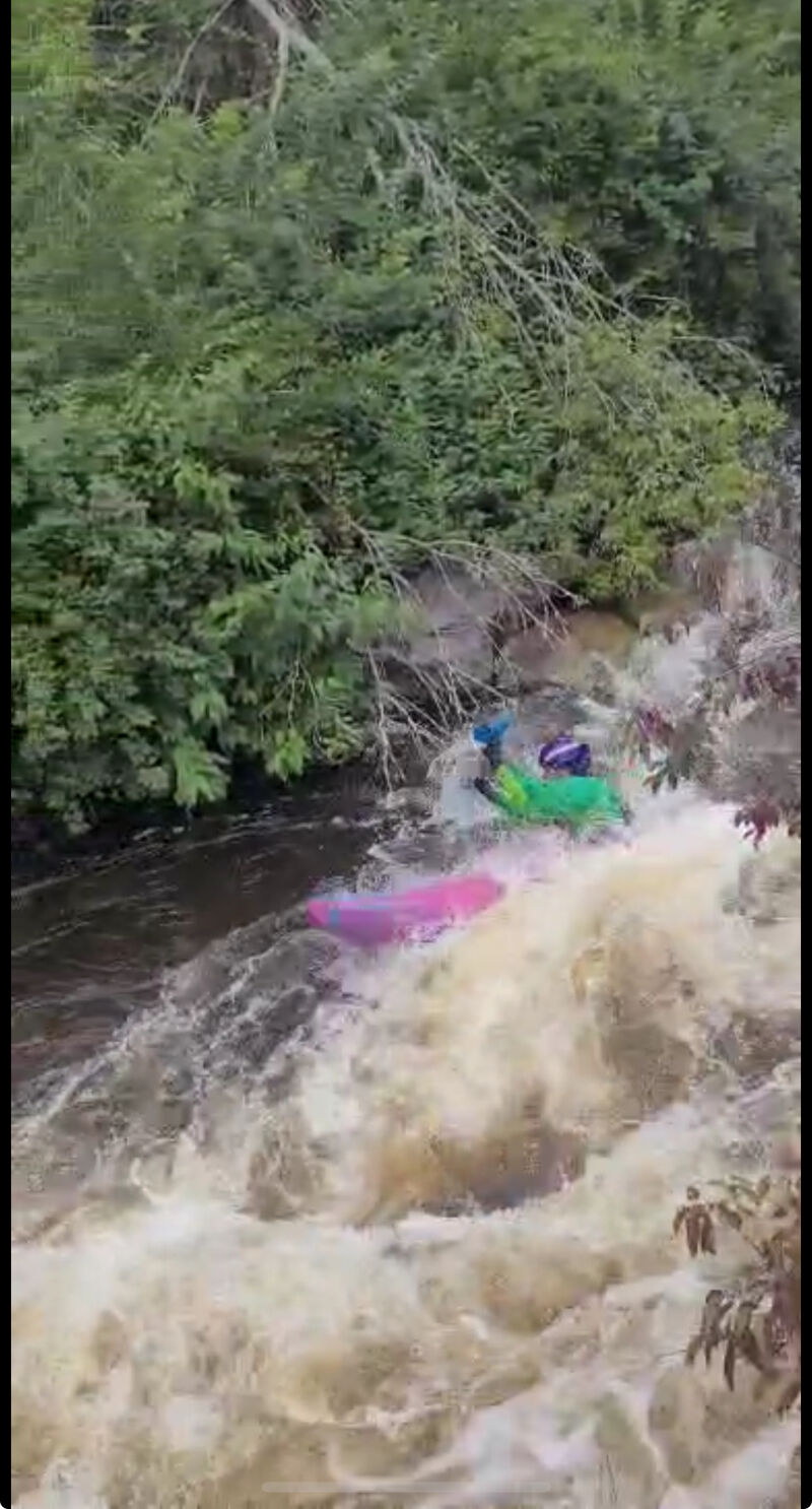
There is a rock river left that causes a rooster tail here, and it can be a potential danger. At higher water, this becomes a large wave-hole that can trip up inexperienced paddlers.
Flooding in 2026 rearranged the rocks here. There are two lines, far river right or shooting between and weaving around the rocks in the center. This gets grungier at lower water levels, but if you can time it, you can eddy in and around the pillows on the rocks, and it becomes a fun, short slalom section.
The river bends to the left after Dream Weaver, and two offset holes are on the bend. Both are easily punched, but at high water, the second of the duo can become rententive and provide a serious speed check to you.
This smiley hole is beefier on river left. The difficulty doesn't come from the drop itself, but from having a good line leading up to it, as there are small waves and holes in the narrow channel upstream.
Located just before the underpass and takeout, this wave is a dream surf. Good eddy service on both sides makes this a great spot to practice rolls, spins, and surfs.
This is the first wave after the main drops. At lower water, it is fun surf, but as water levels rise, the crosscurrent here can be tricky to stay on top of and will quickly punish any lack of edge control. Good eddy service is on river right.
Jun 5, 2026
Flooding in the spring of 2026 rearranged the river and its features significantly. Drops have become a bit more spread out and shelf-like. The upper portion of the run went from a boulder garden to more ledge-style rapids.
Sep 4, 2025
Flow was after about 1/2' of rain. Some roack on the bottom of the main drops were visable and the lower portion was boney, but still runnable.
Sep 3, 2025
Most of the trees have been cleaned up. Upper section is still brushy and the footbridge above the three drops has two large trees that form an impassible obstacle. Tress after this have been cleared to make the river runnable.
Best put-in to run the drops is on river left, just beneath a culvert and split rail fence. Maybe 15 yards downstream from the footbridge.There is a small path down to the river and a few big rocks that serve as steps. With this put-in, you can still run the crux, the 'Old Dam' drops and the ledges downriver.
May 2, 2011
A group of four of us, all reasonably experienced Class IV and up paddlers, ran this on 4/30/11. The water was high, despite the AW gauge page saying low: the gauge the AW reports is on the Jordan, nearby, and can be very different from conditions on the Bear. Best is to look at Northern Michigan Paddling Club's page, http://www.northernmichiganpaddlingclub.com, where they post updates on the visual gauge on the Bear at Sheridan St. That day it was over the top of the Sheridan St. gauge. There is reportedly 76 ft of drop on the 1.2 mile stretch in the park, and it appears that more than 50 ft of that is in the 1/2 mile right after the whitewater starts. At that water level the Bear is a Class IV steep creek run, very fast, tight, continuous and committing with no eddies and several holes that must be punched in that steep section. It's also quite rocky, so a flip is likely to earn you some bruises. It earned two of our group one concussion and one shoulder dislocation. The lower section from the boardwalk on river left to the takeout above the dam on river right is mellower, Class II+ at this level. We plan to go back and get a look at more typical flows later this season. The park is very nice, great hiking trails on both sides, and good viewing for those not inclined to take the plunge.
May 2, 2011
I second Lee's comments. I walked the reach on Sunday, May 1, and the principle drop (at the 'Old Dam') appeared to be solid class IV, with minimal or no eddies and at least 4 sticky holes in a row. It will be interesting to come back with less water and see what it looks like.
Also, the gauge correlation to the nearby Jordan River gauge is unclear... however you can get recent readings of the visual gauge from http://twitter.com/#!/GaugeLevel