Bear
Petoskey: Sheridan Street to Lake (1.15 mile)(Bear River Valley Recreation Area)
Jun 5, 2026
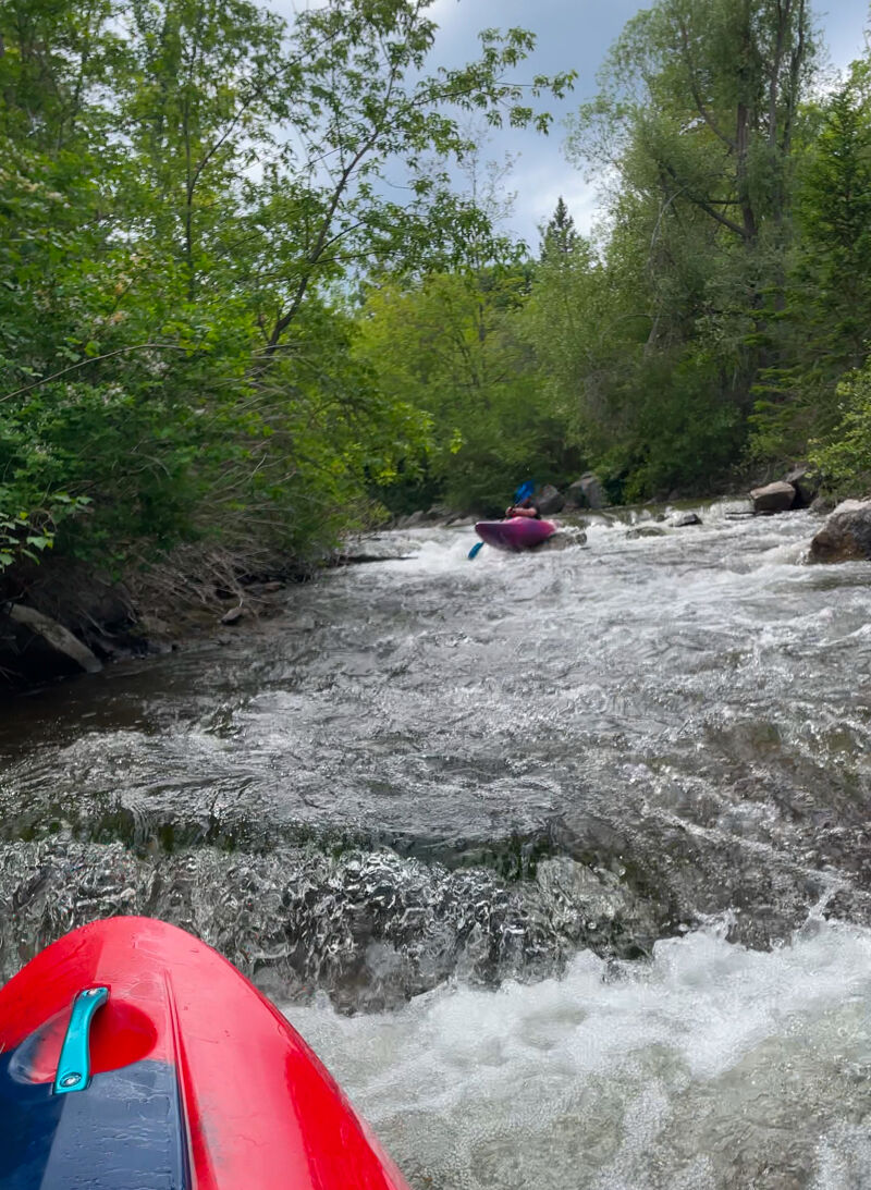
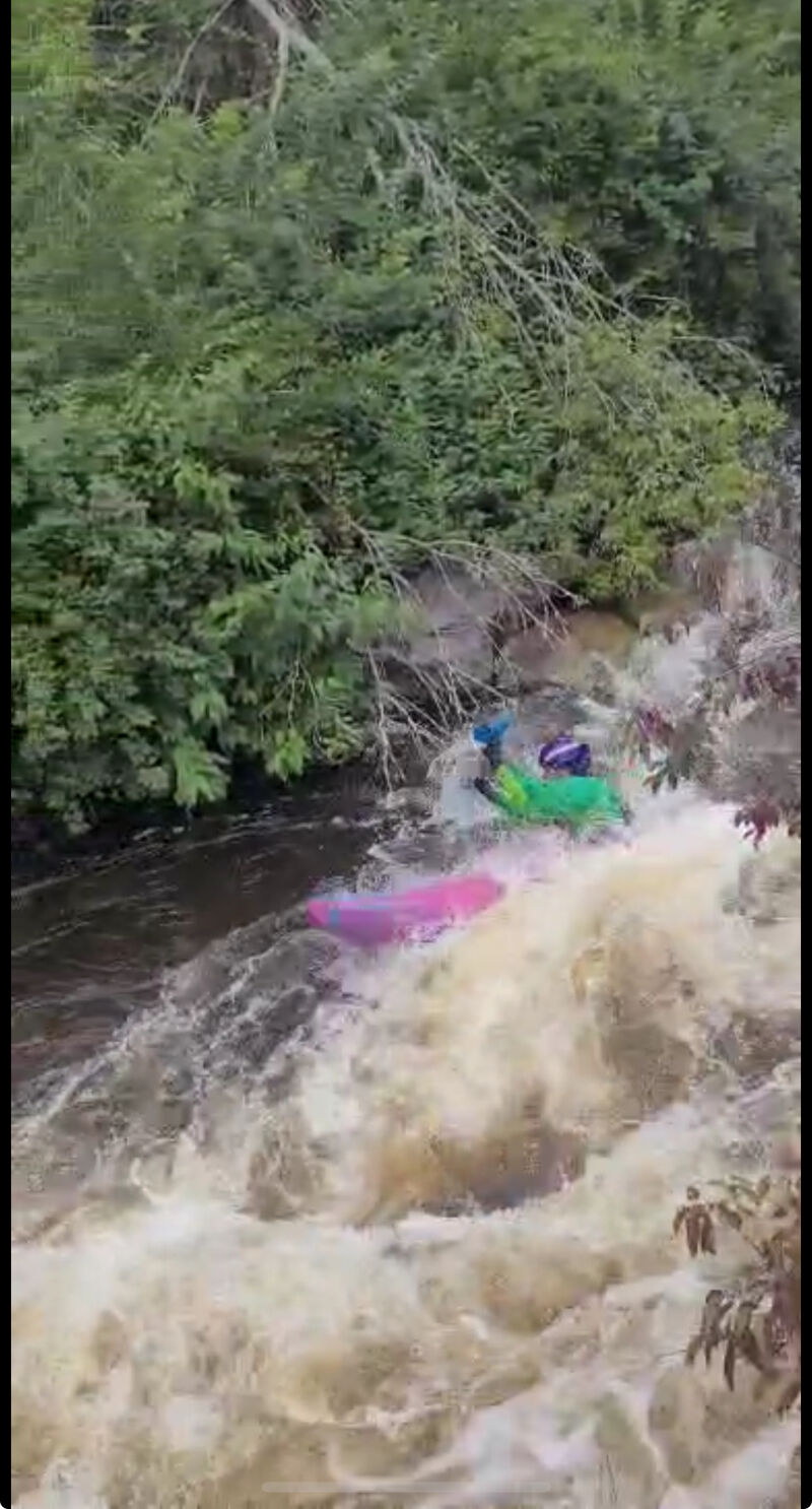
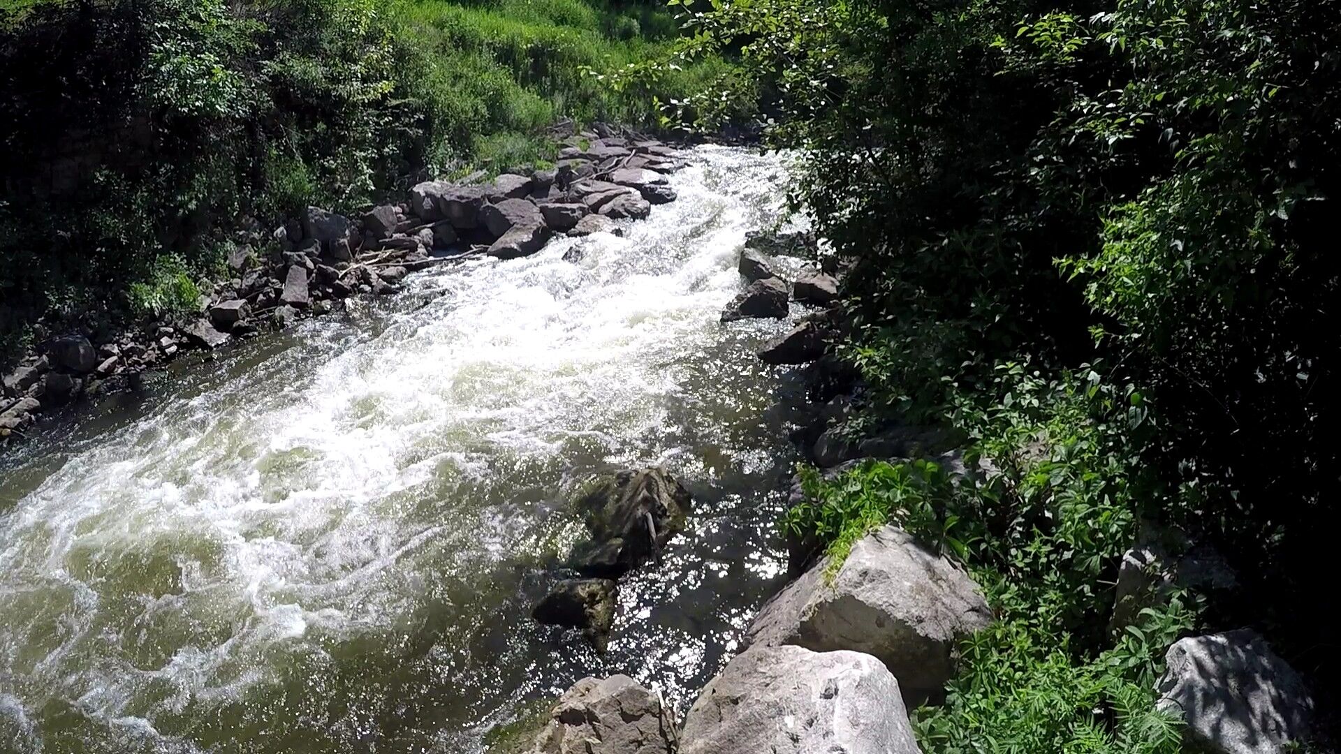
Flooding in the spring of 2026 rearranged the river and its features significantly. Drops have become a bit more spread out and shelf-like. The upper portion of the run went from a boulder garden to more ledge-style rapids.
Sep 4, 2025
Flow was after about 1/2' of rain. Some roack on the bottom of the main drops were visable and the lower portion was boney, but still runnable.
Sep 3, 2025
Most of the trees have been cleaned up. Upper section is still brushy and the footbridge above the three drops has two large trees that form an impassible obstacle. Tress after this have been cleared to make the river runnable.
Best put-in to run the drops is on river left, just beneath a culvert and split rail fence. Maybe 15 yards downstream from the footbridge.There is a small path down to the river and a few big rocks that serve as steps. With this put-in, you can still run the crux, the 'Old Dam' drops and the ledges downriver.
Jun 10, 2015
The first time I've run the Bear. It was at an OK level. Hit a few rocks on the way down, but no big deal. The visual inspection of the triangle rock to the right of the two big rocks below the bridge revealed the triangle rock covered with water.
Oct 17, 2014
I'm not from the area and didn't have my boat. The gauge on the Jordon River was at 209 cfs. I walked on the trails and the Bear was runnable and at a good level. I didn't check the level at Sheirdan bridge.
May 12, 2011
I am a local paddler and paddled the Bear on April 30. The river was very high all weekend, but based on the Sheridan Street paddlers gauge, I believe it peaked on April 30. The high flow was the result of extremely heavy rains 4 days earlier and, unfortunately for us paddlers, won’t be a regular event. While I concur with the previous poster that the upper section was continuous, has only a few eddies, and could bruise up a swimmer, I respectfully disagree with the “Class IV creek run” statement. With the high flow there were significant wave trains and cross-directional waves in the upper, but the run is still very straight forward with only minimal maneuvering required. The only holes to punch are the manmade drops that were constructed as part of the course. All of these can be punched with enough forward momentum. We went through them in playboats without problem. For these reasons I’d call this run, at this water level, a solid III. It was definitely not a day for anyone not comfortable in fast water with waves from multiple angles, but, in my opinion, not class IV.
At lower, more typical water levels, the upper is II/II+ and the lower has class II drops interspersed with class I water. The biggest skill to have at lower water levels is the ability to deal with hitting rocks. All drops can be run directly through, but if you play in them a few are semi-retentive.
Cool that folks from Ann Arbor came up here to paddle. The park is a great gift to the few paddlers that live in this area and hopefully a lot of out of town paddlers will visit and enjoy it as well. Now is the time to come paddle it because at summer base flow this stretch of river is super boney. Happy paddling.
May 2, 2011
A group of four of us, all reasonably experienced Class IV and up paddlers, ran this on 4/30/11. The water was high, despite the AW gauge page saying low: the gauge the AW reports is on the Jordan, nearby, and can be very different from conditions on the Bear. Best is to look at Northern Michigan Paddling Club's page, http://www.northernmichiganpaddlingclub.com, where they post updates on the visual gauge on the Bear at Sheridan St. That day it was over the top of the Sheridan St. gauge. There is reportedly 76 ft of drop on the 1.2 mile stretch in the park, and it appears that more than 50 ft of that is in the 1/2 mile right after the whitewater starts. At that water level the Bear is a Class IV steep creek run, very fast, tight, continuous and committing with no eddies and several holes that must be punched in that steep section. It's also quite rocky, so a flip is likely to earn you some bruises. It earned two of our group one concussion and one shoulder dislocation. The lower section from the boardwalk on river left to the takeout above the dam on river right is mellower, Class II+ at this level. We plan to go back and get a look at more typical flows later this season. The park is very nice, great hiking trails on both sides, and good viewing for those not inclined to take the plunge.
May 2, 2011
It is expected that there will be times it correlates, and times it does not. (That is meant by 'correlation is not assured'.) We feel it is better to have some 'automatic' online reference gauge, to enable color-coding, to at least sometimes give a hint that this reach may be running. Unfortunately, we cannot automatically reference the suggested gauge pages, which of course will be more accurate, since they give direct visual observed stage readings.
If you feel the 'reference gauge' NEVER correlates to flow here, we can remove the reference gauge. If it is at least SOMETIMES (at least as often as not) a decent indicator of likely flow in this reach, we feel it should stay enabled as is.
May 2, 2011
I second Lee's comments. I walked the reach on Sunday, May 1, and the principle drop (at the 'Old Dam') appeared to be solid class IV, with minimal or no eddies and at least 4 sticky holes in a row. It will be interesting to come back with less water and see what it looks like.
Also, the gauge correlation to the nearby Jordan River gauge is unclear... however you can get recent readings of the visual gauge from http://twitter.com/#!/GaugeLevel
Sep 8, 2010
September 8, 2010 - Ran this reach several times over the Labor day weekend at flows appox. 250cfs.
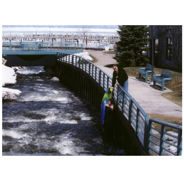
City of Petoskey has invested a good deal of money into Park along side the river and into rechanneling the lower section as well. Beginning with the foot bridge at Bear River Park the channel has been significantly improved. Below the foot bridge the rive has been rechanneled with larger boulders and rocks to create more signifcant wave trains. The dams and rebar have been removed creating a nice series of drops with smalls pools. The holes were easily punched and the waves were surf worthy at this level. Below the Chunnel the reworking continues with more ledges and a defined channels. The numerous waves and new eddies have created some very nice surfing waves.
In the old slack water section beneath the 131 bridge two new features have been added. These ledges have created two very nice small surf waves with large eddies.
The lower section frm the Lamprey Dam to the marina has not been altered.
The Bear River park is getting some very nice improvements - bathrooms, picnic pavillions, concrete bike path, new foot bridge, new access points, catwlks, and an overlook.
Jan 1, 1900
it was like Derpty derp and then it was totally
like Derpty derpty derp ?!!!$#@*...? yeno?
deerp?!!!