Deschutes
13. Lower Bridge to Billy Chinook Reservoir(Middle Deschutes)
| Difficulty | III-IV+ |
| Length | 15.6 mi |
| Avg Gradient | 39 fpm |
| Gauge | Deschutes River Near Culver, or |
| Flow Rate as of 38 minutes | 530 cfsbelow recommended |
| Reach Info Last Updated | February 25, 2023 |
Season: If flows were not regulated this reach would be runnable year around. Unfortunately for paddlers, though this reach is dewatered during the summer irrigation season and it gets pretty cold in the winter. Sunny days in March and early April are often best. There is also a chance of catching this run in the fall at the end of the irrigation season.
Description:
Middle Deschutes at 1590 cfs----http://www.youtube.com/watch?v=hk6_R8gU8Zk
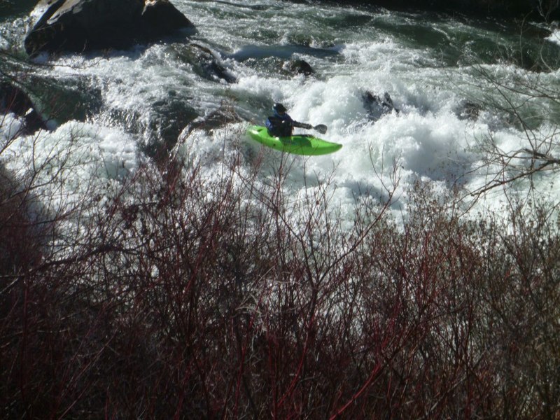
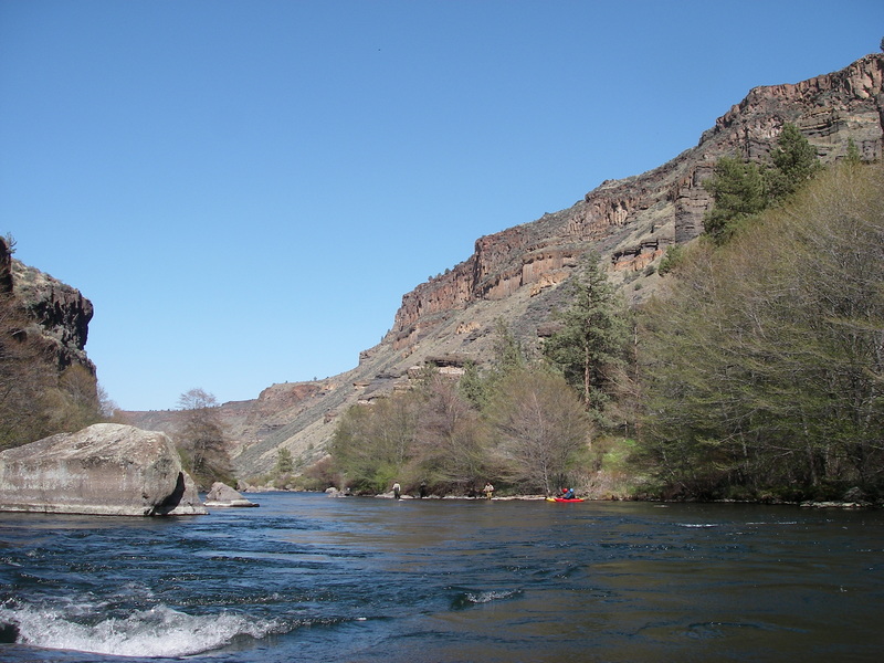
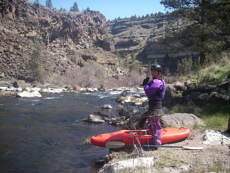
Spectacular run but with a short season and a paddle out on a reservoir. The character of the run is pool-drop through impressive canyon scenery. You have a couple options for this run depending on where you put in. If you access the river at Lower Bridge Road you will have a 13.5 mile river run and a 2.2 mile flatwater paddle across the reservoir. Especially when flows are lower you may want to consider the access at Steelhead Falls which gives you an 8.0 mile river run and a 2.2 mile flatwater paddle.
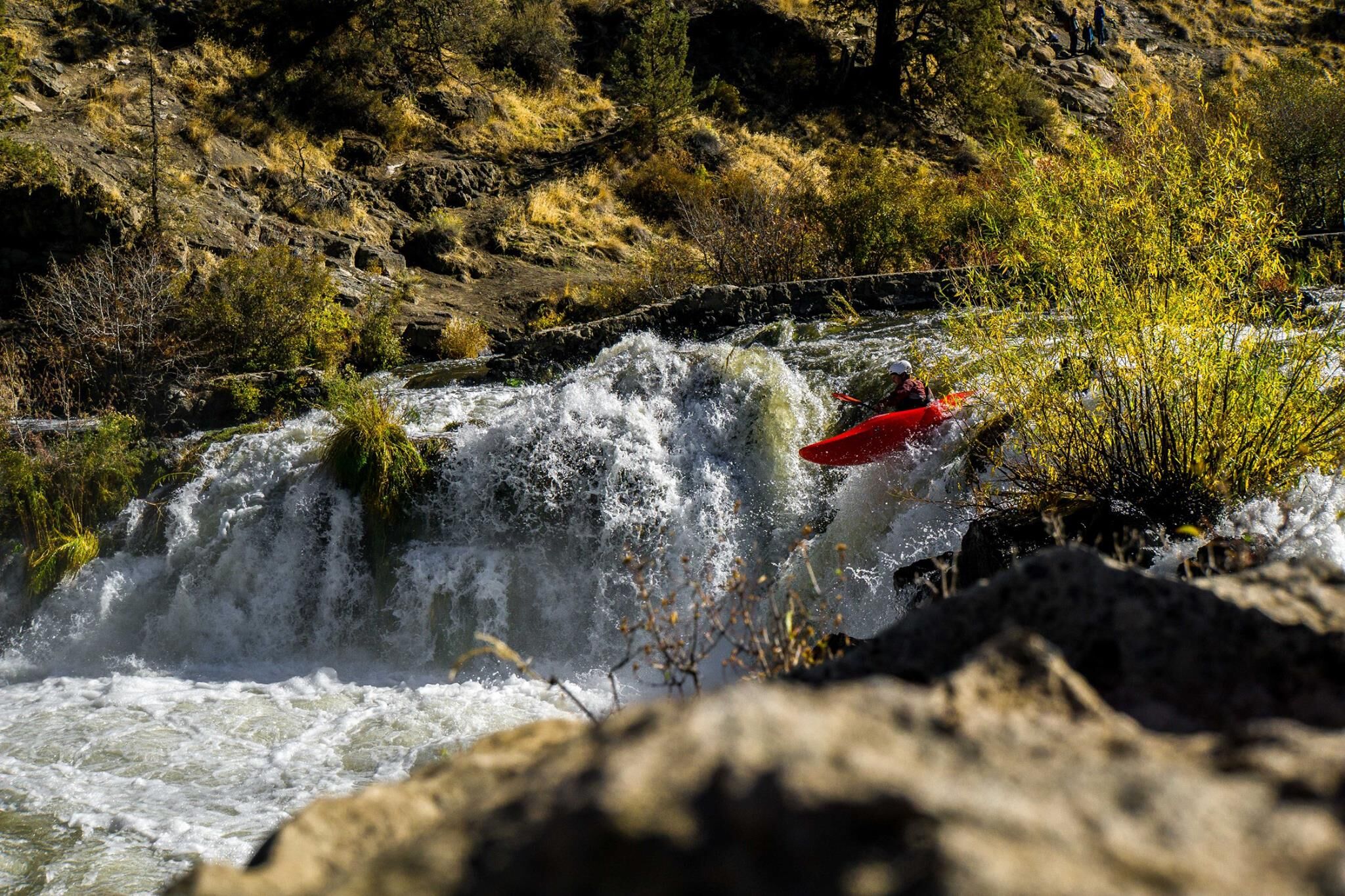
You will need to portage Big Falls, located 1.5 miles into the run from Lower Bridge Road. You might also consider the portage of Steelhead Falls which comes another few miles downstream, but there is a fun line on the left side. After paddling through some long pools below Steelhead Falls the action starts to pick up with some fun boulder garden rapids that are spread out through the remainder of the run. Many of these are in the class III range but a couple are class IV. The longest section of whitewater is at the confluence with Whychus Creek.
Logistics:
For the long run, you can put-in at Lower Bridge Road where you cross the Deschutes River (river mile 133.5). To get there from Terrebone, head north on Highway 97 and before you cross the Crooked River, head west at Highway 97 mile 115.3 on Lower Bridge Road (you will see the sign for Crooked River Ranch). Follow Lo
...
Big Falls is at USGS river mile 132 and is portaged.
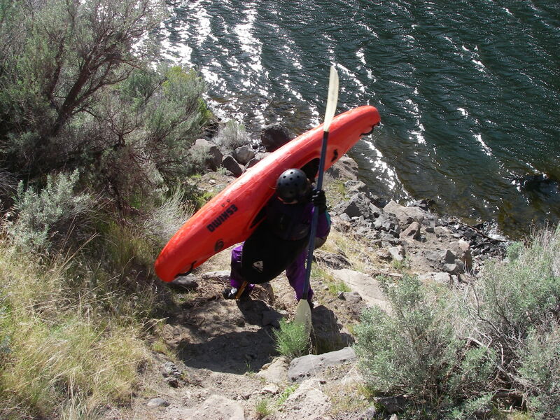
Intermediate access point reached by taking a short hike from the Steelhead Falls trailhead down to the river.
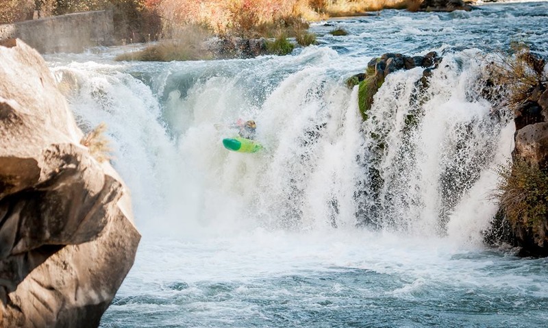
Steelhead Falls is at USGS river mile 128.
Take out where SW Jordan Road crosses the Deschutes arm of the reservoir. Make sure your shuttle driver does not leave the car on the Crooked River arm of the reservoir which looks very similar to this take-out.
Oct 14, 2017
Steelhead Falls is good to go so long as it is above 500cfs!
Dec 11, 2014
I got on this run 10/23/11 and I have to say that this is a classic class 4 run.
My understanding is that it's de-watered from mid-April to mid-October but as the irrigation shuts down in mid Oct. it can reach run-able levels...as it did this year.
Yesterday flow below Bend was approx. 675cfs and flow at Culver was 1,150 cfs...a great flow! For the solid class 4 boater this run has everything you could want; a 18' waterfall, at least a half a dozen loooong, muti-move, hard to scout class 4 to 4+ rapids, lots of class 3/3+, fantastic desert canyon scenery with enough slow pools to aid taking it all in, plus free camping at the Steelhead falls put-in. We were surprised that on a sunny 70 degree late Oct. weekend my buddy and I were the only two people on the run. This run is well worth the time and gas money to get to it, especially considering not much else is running this time of year.
We did the weekend class 4 trip; Leaving from Ashland Or. at 7:30am Sat., getting on the Riverhouse run by 11Am, camping at the put-in for the Canyon run Sat. night, setting shuttle Sun morn. then running the Canyon on Sunday and back home in Ashland at 10PM. I'd bet that is the best October class 4 weekend in Oregon.