| Difficulty | II-III |
| Length | 19.5 mi |
| Avg Gradient | n/a |
| Gauge | Arkansas River at Parkdale, Co. |
| Flow Rate as of 1 hour | 217 cfsbelow recommended |
| Reach Info Last Updated | May 25, 2021 |
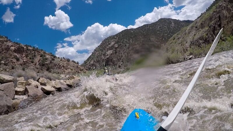
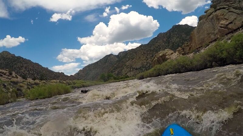
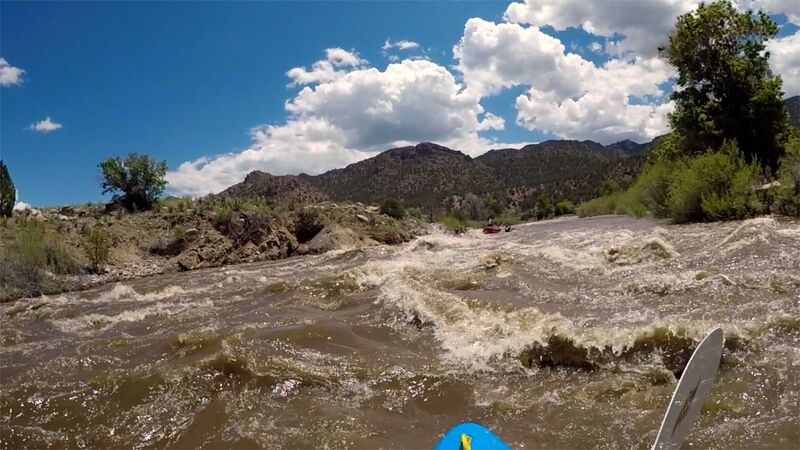
River Description
Logistics: The Rincon access site is at Highway 50 mile 231.1 approximately 9 miles downstream of the town of Salida. The highway parrallels the entire run which passes through rural areas, a couple small towns, and a canyon landscape. There are a number of access points that come every 5-10 miles and include Vallie Bridge, Trading Post, Lone Pine, Texas Creek, Maytag, and Pinnacle Rock. Pinnacle Rock is located at Highway 50 mile 258.2.
See Colorado Rivers and Creeks II, by Banks and Eckardt (The Bible), for info on this and most of the other kewl runs of Colorado.
Lat/longitude coords are approximate, from TopoZone.
See also Pinecreek (Class IV/V),
The Numbers (Class IV),
Fractions/ Frogrock (Class III),
Buena Vista (Class III),
Browns Canyon (Class III),
Salida (Class III),
Rincon (Class III),
Pinnacle Rock (Class III),
Royal Gorge (Class III/IV).
River Features
Rincon Put-In
Access PointDistance: 0 mi
The Rincon access site is at Highway 50 mile 231.1 approximately 9 miles downstream of the town of Salida.
Take Out
Access PointDistance: 27.9 mi