Payette
1. Banks to Beehive Bend(The Upper Main)
| Difficulty | III+ |
| Length | 7.2 mi |
| Avg Gradient | 17 fpm |
| Gauge | Payette River Nr Horseshoe Bend Id |
| Flow Rate as of 1 hour | 2980 cfsmedium runnable |
| Reach Info Last Updated | March 28, 2023 |
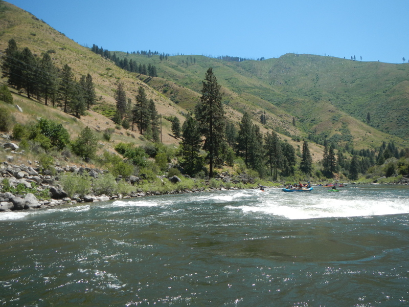
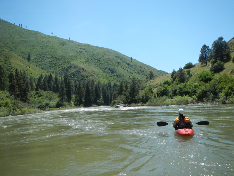
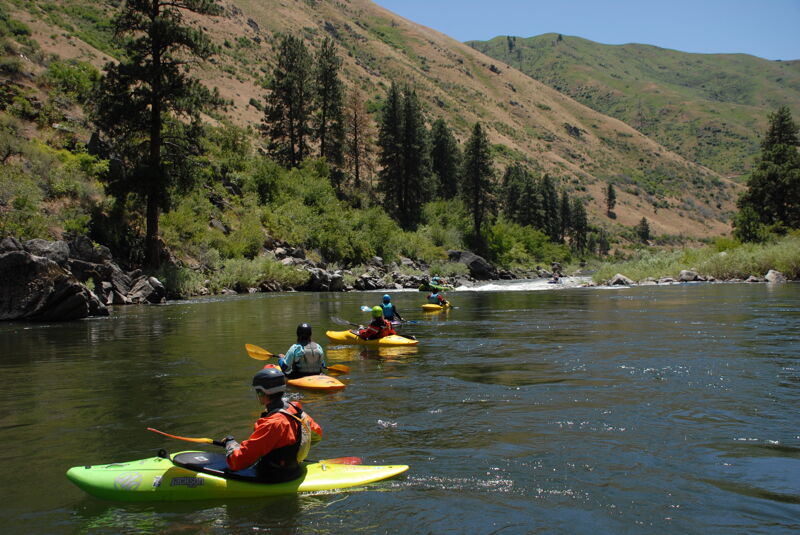
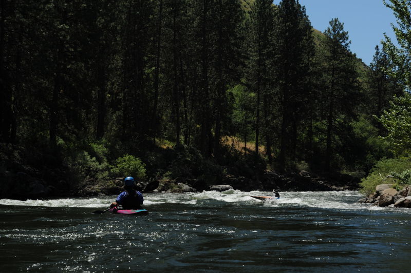
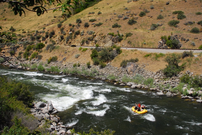
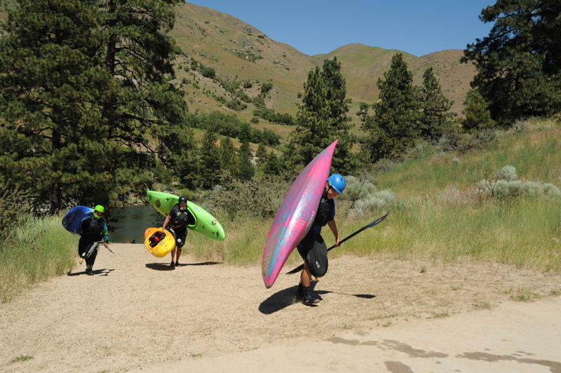
The Payette's Upper Main is classic Idaho whitewater. Less than an hour from Boise, Banks is 'River Central' for the Payette system and lies at the confluence of the Payette's North Fork and South Fork. Banks serves as the take-out for North Fork (class V) and South Fork (class IV) runs and the put-in for the class III section know locally as 'The Main'. There are several class III rapids and plenty of class II rapids (described in detail below). Big bouncy drops will keep experienced paddlers entertained and it's a great training run for intermediate paddlers honing their skills. Advanced paddlers can begin their run on the South Fork Staircase run or the Lower Five on the North Fork Payette and join the group in Banks. Commercial traffic can get heavy on this run during late spring or early summer weekends. This section is recommended for paddlers with at least the basic river-running skills--The Main is the 'real-thang'!
WHEN TO RUN: The Upper Main is runnable most of the year - best Spring through Fall. Be warned that this may become a larger volume river in the spring (June/July) and can reach 15,000cfs. But most of the summer it starts at about 5,000cfs and works it's way down to about 2,000cfs by September. October flows dip to around 800 to 1200. The river is still runnable at this level, but it IS low and a very different river.
HOW TO GET THERE: From Boise take state hwy 55 north about 32 miles to Banks (Highway 55 mile 78.8) and turn left across the North Fork. This is a fee parking area - $3.00/day or $20.00 season pass for the Payette system. Season passes can be purchased at the USDA Forest Service/Bureau of Land Management Interagency Visitor Center in Boise, Boise National Forest District Offices (Emmett, Lowman, and Garden Valley), Alpenglow Sports (Bogus Basin Rd.), Ponderosa Sports (between Horseshoe Bend and Gardina), Banks Cafe and Store; Garden Valley Store, Boise Army Navy Store, Cascade Outfitt
...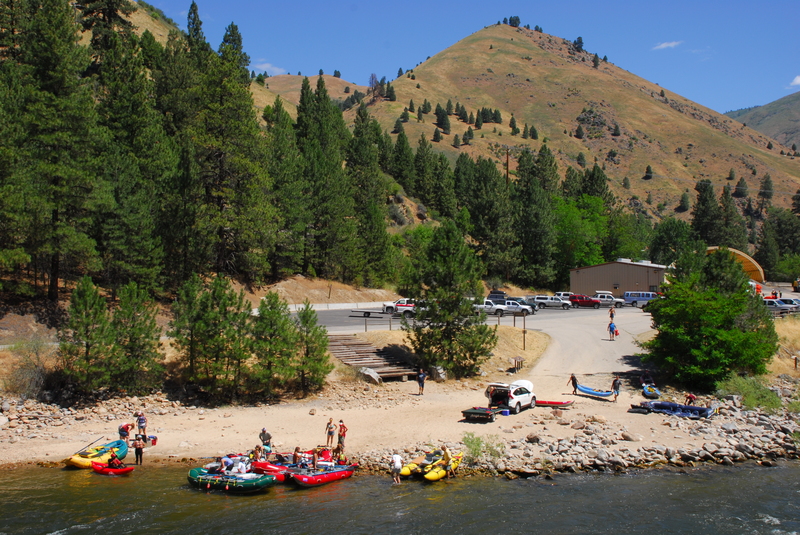
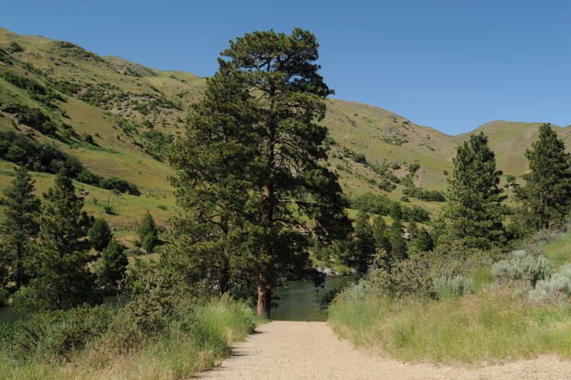
The Banks Access site can be a busy site, particularly on weekends. It serves as a take-out for those coming down the North Fork or South Fork and serves as the primary put in for both outfitters and the public. Located across the bridge at Highway 55 mile 78.8.
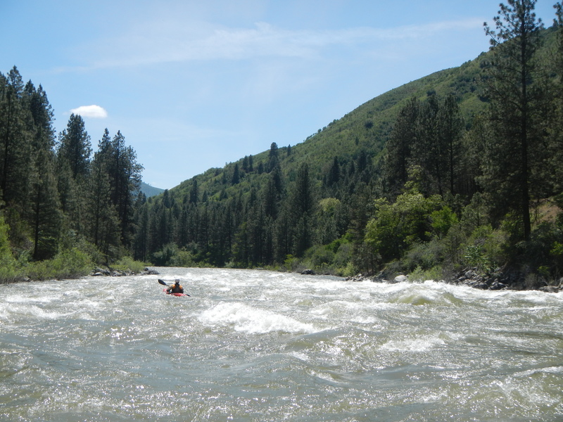
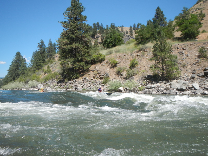
A clean class II wave train down the left and some smaller holes to the right.
Read and run rapid with a good eddy at the bottom left to check in and assess how the group is feeling. These first two rapids are great to get a feel for newer paddlers--if you are having problems at this point, best to get out here because it only gets bigger.
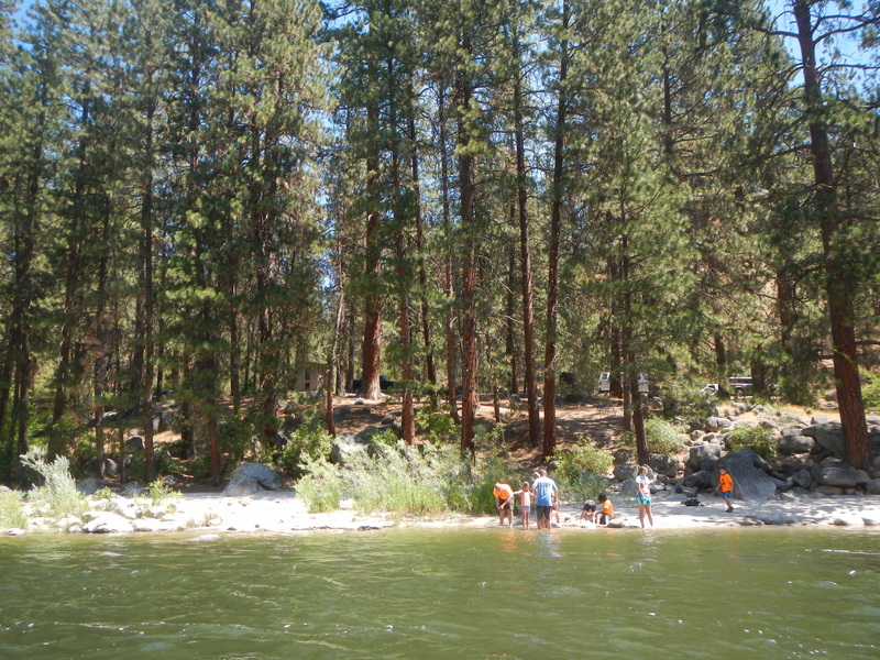
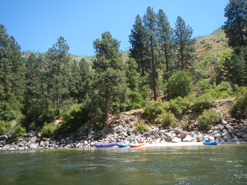
Alternate access or lunch stop a mile down from the main put-in in Banks but before the real whitewater begins. It's at Highway 55 mile 77.9) This is also a pleasant place for non-paddlers to hang out.
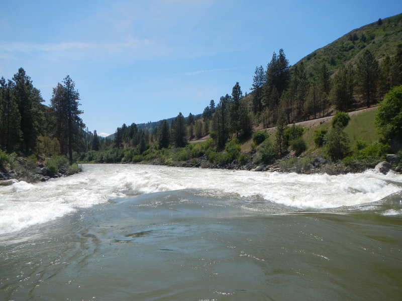
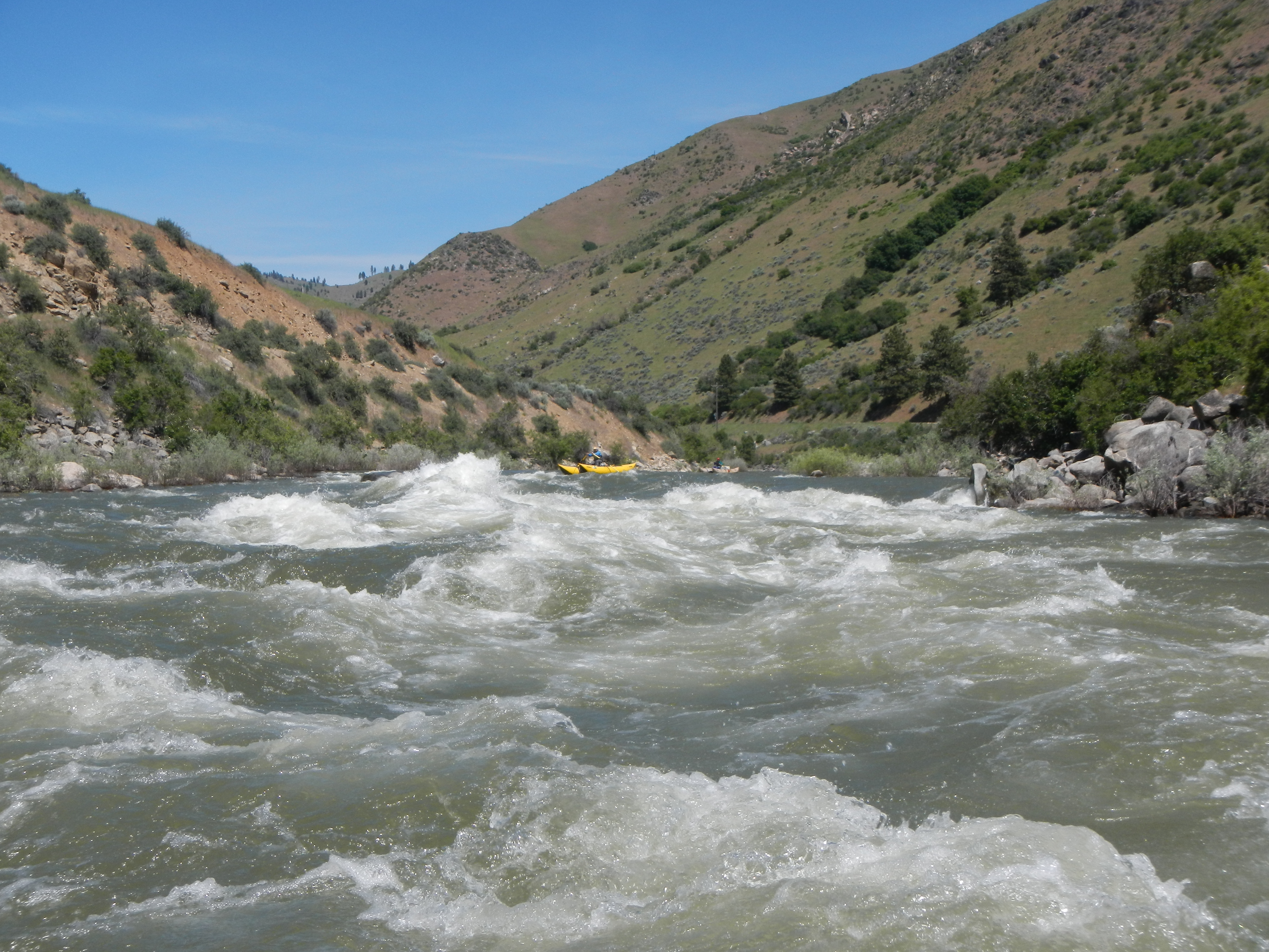
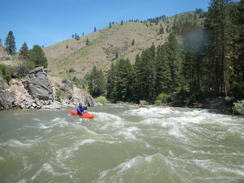
This is the first major rapid on this section. As the name implies, you want to stay on the left tongue and avoid the big hole center. Hardshell kayaks can try multiple lines, such as going right, on a more rocky class 4-ish line.
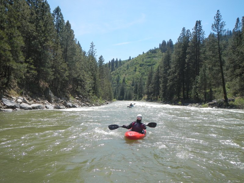
Here the river is pinched into the middle setting up a nice V with a wave-train. It's an easy run left of center to avoid the hole on the right. As the names implies, this is a good lunch spot.
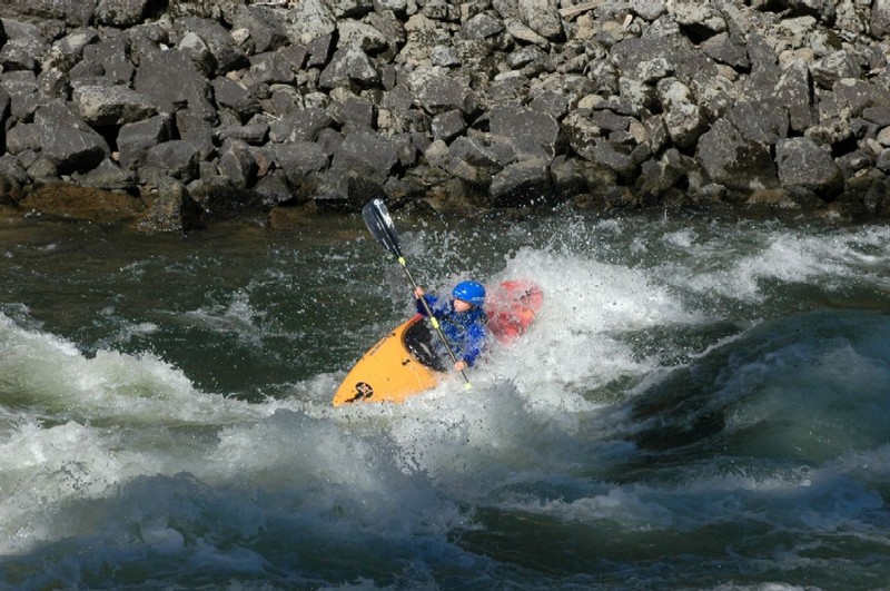
The rock is at the center of the river and at medium to low flows creates a meaty hole. As flows increase the hole washes out and a nice wave train forms. Depending on flows you can boof the rock or enjoy the great surfing wave. The conservative line is available down river right.
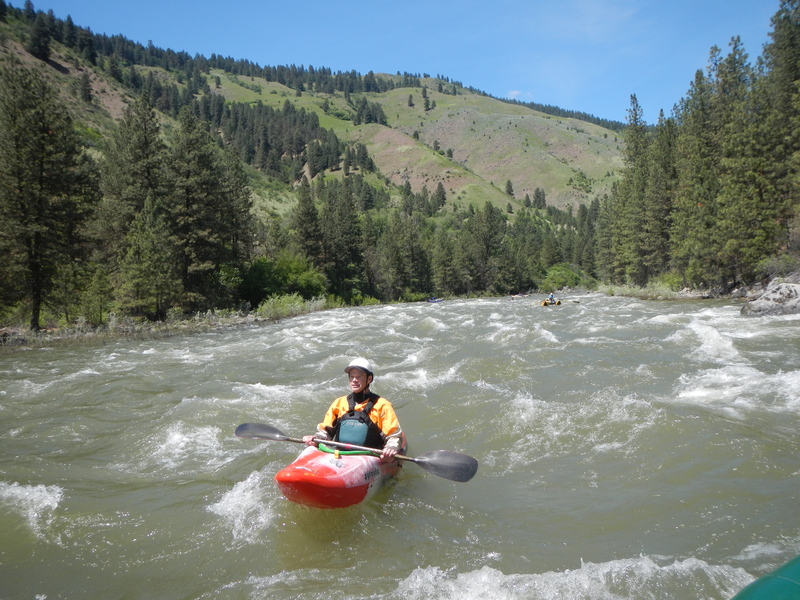
Mike’s Hole can be run via the sneak line on the far left or a center to left move avoiding the hole. The hole is on river right.
This is a fun class II wave train that is a read-and-run down the middle. An alternate access point at the bottom of this rapid with parking, restrooms, and picnic tables can also be utilized as a lunch stop. Just after Chief Parrish is a class II wavetrain that has a boily section at the end.
Alternative access that can be used as a take-out above Mixmaster and AMF. Located at Highway 55 mile 74.2.
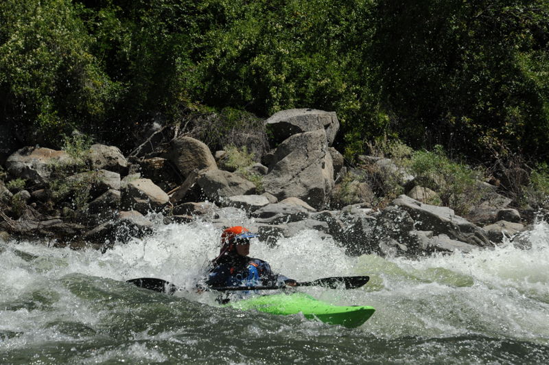
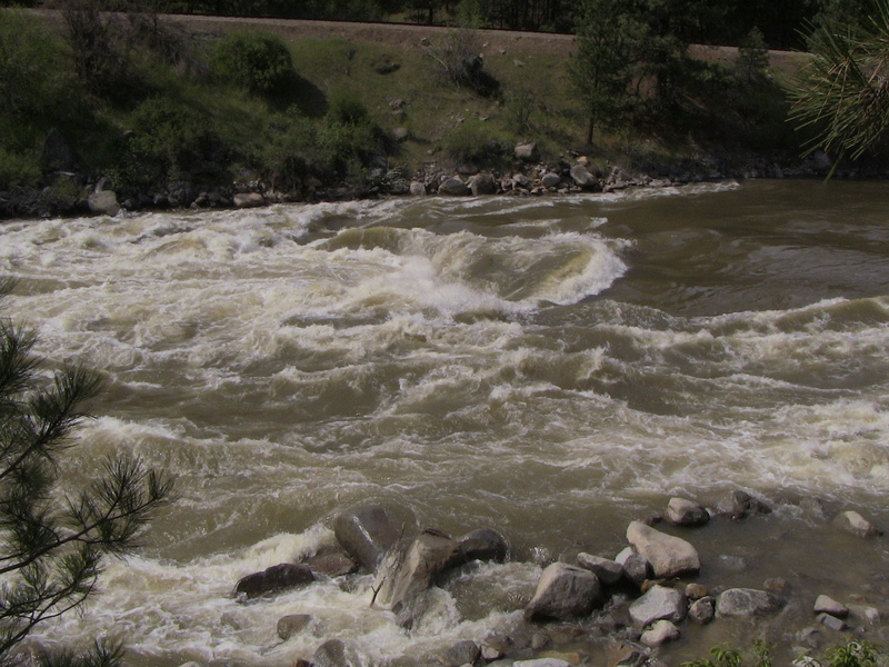
After a 1/2 mile straightaway the river takes a left hand bend leading in to MixMaster. This rapid can flip rafts at higher flows with its lateral waves. An eddy just above the drop on river left provides a good boat scout—but keep in mind that you are committed to the drop if you take this option. If you want to scout with the option to portage, go river right. You can sneak by starting middle and going hard right or just blast through the fun hole.
This is the last big class III rapid. About halfway into the rapid a rock shelf running from river-left to center should be avoided as it forms a big wave/hole. Just blast down the middle or find the right hand sneak but come back to center to enjoy the great wave train that finishes the rapid.
Primary take-out for the Main Payette with a trail up to a large parking area. Located at Hwy 55 mile 71.5.
Jun 29, 2024
We had a large group of kids in kayaks and a couple rafts along for the float from Banks down to Beehive Bend. It was a Saturday morning when we launched but not too crowed. We were at the launch area around 10am which was earlier than many other trips. After rigging and setting shuttle we were on the water at approximately 11:30am. We stopped for lunch for abour 45 minutes. We were off the water by 2:30pm. It was just over 2 hours of float time from Banks down to Beehive Bend at a leisurely pace.
Jul 1, 2004
Bennetts Rock at this level is still a pour-over. As flows increase (Spring) this rock creates huge standing waves and a great surf opportunity with long eddies to return upstream. As levels decrease the hole becomes mammoth. Run is generally river-right. A nice wave-train follows!