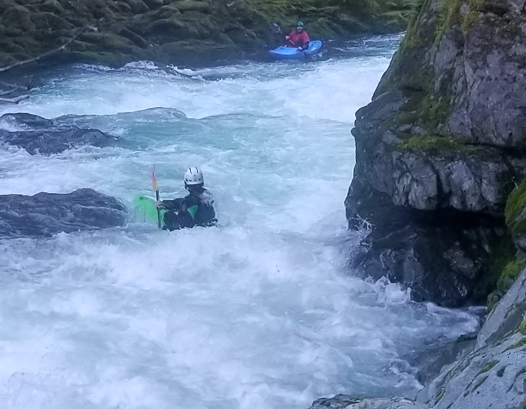
Goose Creek
Saddle Road to South Fork Smith confluence
| Difficulty | V |
| Length | 5 mi |
| Avg Gradient | 92 fpm |
| Gauge | Smith R Nr Crescent City Ca |
| Flow Rate as of 1 hour | 314 cfsbelow recommended |
| Reach Info Last Updated | August 2, 2024 |
Flows: Flows in Goose Creek are estimated to be about 1/10th that of the gauge shown above. Thus, when the gauge shows flows within the minimum to maximum range of 3,000 to 9,000 cfs, then actual flows in Goose Creek should be in an estimated ideal range of 300-900 cfs.
Goose Creek is a pristine run in the Smith drainage, that is worth the trouble of the short hike in. The creek is divided into an upper and lower, the lower by itself is much more common. The Upper is good too, and if you can combine them its a great day of boating.
Upper: Getting to the Upper put in with enough daylight to finish the 12 mile run is the hardest part of the trip. The road is commonly snowed in when there is water, and even when the road is driveable you have to hike 3 miles (8 if you are not willing to do a half mile bushwhack) to get to the put in bridge.
Beginning of the Upper hike (the burlier your vehicle, and the more willing you are to scratch it up, the shorter the hike): 41.5922, -123.8766
Upper put In: 41.5816, -123.9093
The upper section starts off straight forward with good scenery, picking up to class IV with the occasional ledge. This character goes on for some time. About halfway through the upper run is Arn's Falls, preceded by a sliding rapid with a ledge. Arn's has a tough lead in to a clean 10-15' drop with a hole and pockets on each side. This drop is easier at lower levels.
More whitewater leads to Double Walls Falls, which will send most paddlers portaging left. Sustained intermediate whitewater continues for miles down to the lower put in. It is possible to hike out here, but it takes longer than just finishing the run and there are no notable indications of this location from the river.
Lower: This section is more commonly done as the shuttle elevation is lower. A 3.5 mile hike down a decommisioned road leads to a short final bushwhack to
...