Farmington
2. Collinsville to Unionville(Crystals Section)
| Difficulty | II |
| Length | 2.4 mi |
| Avg Gradient | n/a |
| Gauge | Farmington River at Unionville, Ct |
| Flow Rate as of 39 minutes | 4.63 ftbelow recommended |
| Reach Info Last Updated | May 15, 2017 |
Directions and description generously provided by Jim Veltrop:
Put-in: From the bridge over the Farmington River in Collinsville, proceed south on Route 179 just over 1 mile to a long paved parking lot along the left/east side of the road. Cross the bike path to a convenient put-in. (If coming from Unionville, take Route 4 west until Rte 179 veers right, to the north. The parking lot is 0.7 miles from the Route 4/179 junction, along the right/east side of the road.)
Take-out: From the put-in, proceed south on Route 179 until the junction with Route 4 and continue just over 2 miles after the Route 4/179 junction until River Road, which is the last right before crossing the Route 4 Farmington River bridge and is next to a miniature golf course. Take a right on to River Road and continue 0.3 miles to a section of the road with room for parking on the dirt shoulders of both sides of the road.
Alternative Take-out: River Glen Little League Complex Wannowmassa Lane Farmington, CT. If you continue paddling past the Rt 4 bridge takeout you'll be in for about 1.75 miles of mostly flat water, but are rewarded with two more rapids. The first section is the Apricots ledges, the second is Boateater.
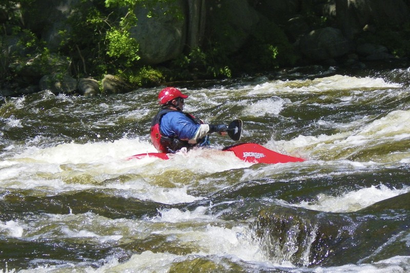
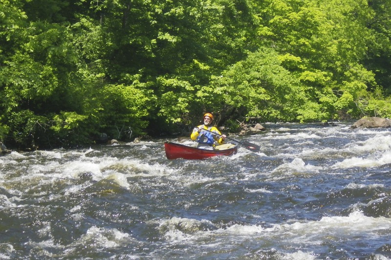
Description: A worthwhile run at the right levels, with ample boulder gardens, a handful of rapids with interesting features and scenery that is surprisingly good considering the amount of surrounding development. Collinsville Canoe and Kayak uses the upper section of the run for its kayak lessons. This section is also the site of the annual Boateater Challenge.
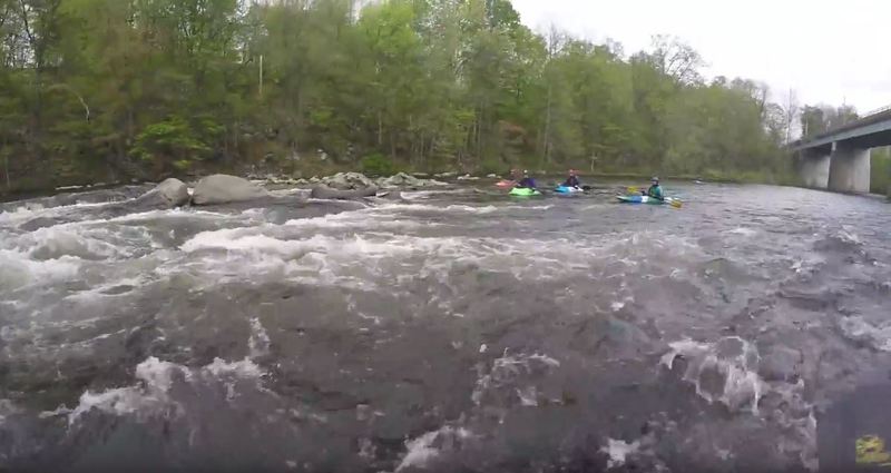
After the put-in, proceed to the right of an island and encounter minor rapids before a long pool. The entrance of Burlington Brook from the right and power lines overhead signal the beginning of Crystal Rapids (also sometimes called Punch Brook), which is the site of an annual spring slalom race. The river then settles int
...
The first real rapid on this section, lots of rocks to dodge around.

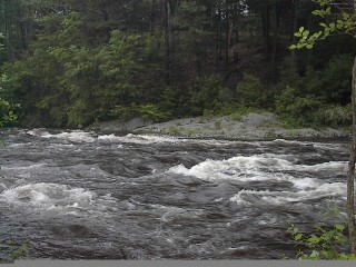
This section has several rock and boulder gardens to play around in. Good for practicing eddy turns.
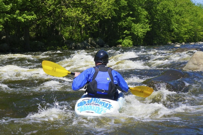
A very interesting rapid, requires a lot of maneuvering at most levels. There is a line in the middle but many people go from river left to river right in an S pattern.
Starts with a long technical top section that has many lines. Ends just before the bridge with a river-wide ledge drop that is run river right.
Primary takeout. Skips Apricots Ledges and Boateater, but also removes about 2 miles of flat water.
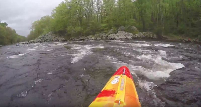
The infamous boateater. The actual boateater rock was washed downstream and is no longer part of this section, but this is still a fun rapid.
Alternate take-out at River Glen Little League Complex. Check all signs and notices to make sure parking is allowed.