White River, East Fork
01. Roadside Route Y55
| Difficulty | III+ |
| Length | 5.6 mi |
| Avg Gradient | 233 fpm |
| Gauge | Bonita Creek Near Morenci, Az. |
| Flow Rate as of 1 hour | 1 cfsbelow recommended |
| Reach Info Last Updated | July 15, 2017 |
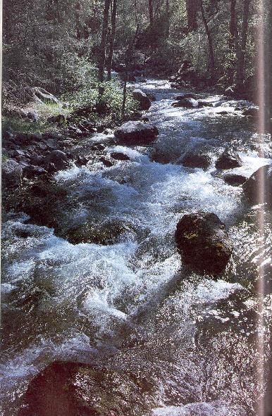
Tumbling down a steep rocky chute from the highest peaks of the White Mountains, much of the East Fork of White River is closed to non-reserve residents. The East Fork is reminiscent of many creeks in the Appalachians and not Arizona.
Permits are required for access.
No trip reports yet.