Sandy Brook
Phelps Flat Rd. to Route 8 Bridge
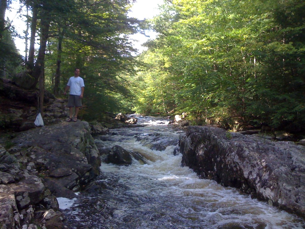
| Difficulty | IV |
| Length | 4.8 mi |
| Avg Gradient | 80 fpm |
| Gauge | Hubbard River Near West Hartland, Ct |
| Flow Rate as of 36 minutes | 1.28 ftbelow recommended |
| Reach Info Last Updated | May 16, 2018 |
The put-in is at the junction of Sandy Brook Road and Phelps Flat Road. From here to the second bridge the river is a nice class II-III warm-up. As soon as you pass under the second bridge there’s a sharp, almost vertical drop punctuated with several rocks and holes. After this drop the river stays a solid class IV for a third of a mile. The rapid ends at the “Block” which is a huge boulder sitting in the center of the river. It’s possible to pass to either side of the boulder but if you go right make sure that you’re as close to the right shore as possible. On the right side of the boulder and right next to it is a wicked hole that has trapped many paddlers. Immediately after the Block there’s a small pool where everyone gathers. When the river level is high many paddlers elect to put in here instead of upstream.
Below the pool the river is not quite as tough as the previous section but still pretty meaty and non-stop until a small bridge. Right after the bridge there’s a wonderful surfing wave with a large calm eddy on river left. From here to where the river crosses under Sandy Brook Road there’s more non-stop rapids.
After crossing under Sandy Brook Road the river is mild for a short way, ending in a left turn. Almost immediately after this left turn is a sharp right turn. Right after this turn the river squeezes down and in the narrow spot there’s a big hole. It’s best to pass by this hole on the far right. Center Brook then enters from the right and adds a significant amount of water to the Sandy. Some hardy souls carry their boats up Center Brook and run the last few rapids (class V).
The next left turn is the start of the second hardest rapid on the river. It starts off with a couple of wide holes and has large boulders, tough cross currents and more holes. The rapid lasts for around 100 yards and is about the half way point of the run. After this rapid the river gets more relaxing but there’s still sections that get y
...Apr 17, 2021
Fun run to be sure. A couple comments......I would say the AW gauge of 3.0 ft would be the absolute low. It was a bit boat beating yesterday. Granted, I was below the AW threshold but going off of other gauge sources. Personally, I'd look for a minimum of 500 on the W Branch Westfield gauge. Even then that could be bouncy. 700 in there would be awesome. I would not go off the Still River correlation in any way.
Sep 28, 2018
'After crossing under Sandy Brook Road the river is mild for a short way, ending in a left turn. Almost immediately after this left turn is a sharp right turn. ' - As of 9/28/18 there is a tree right between the left and right bends, lodged diagonally against a rock completely blocking the run. At 30 feet long and 16' at the stump it is going to be a project to remove.