Fox (Illinois R. trib.)
A) Downtown Waukesha: Barstow St. to Wisconsin Ave. (0.5 mile)
| Difficulty | I |
| Length | 0.4 mi |
| Avg Gradient | 10 fpm |
| Gauge | Fox River at Waukesha, Wi |
| Flow Rate as of 36 minutes | 34 cfsbelow recommended |
| Reach Info Last Updated | April 26, 2026 |
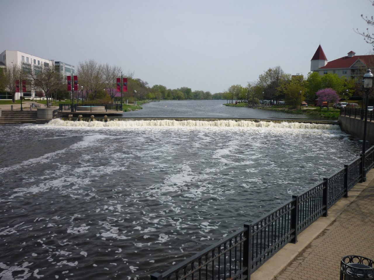
The half-mile of river through downtown has been constricted between rock-rubble and stone walled banks. A number of shoals and riffles exist which may provide minor swiftwater entertainment (there are no significant 'features'). High flows will mean a faster flush, but the river will always be more swiftwater than actual whitewater.
The whole reach is a highly visible location, with a wonderful downtown riverwalk paralleling the whole reach.
Put-in (for any who bother with this reach) is advised below the short cement dam at Barstow Street, and take-out is advised before Wisconsin Avenue.
This may be paired with (or either may be 'substituted for' the other) the listed run on the Pewaukee River, which has it's take-out on the Fox River upstream of this reach.
Steps from river-right lead to water's edge for easy put-in downstream of the dam. Paddle out into the current and head downstream.
Flow coming off the dam is broken up by a 'splash pan', making no playable feature at any resonable flow here.
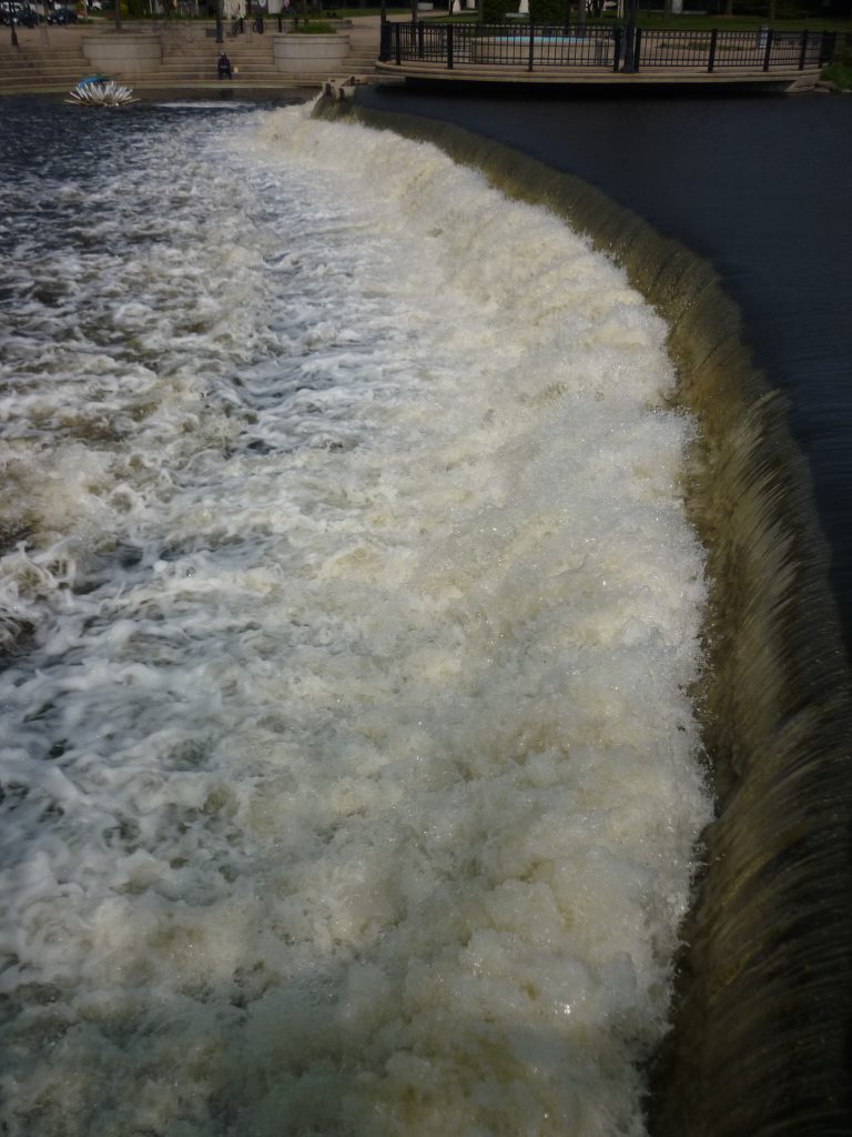
Put in should be below this dam, from steps down to the pool at river-right.
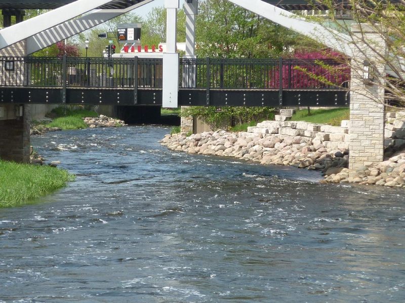
Featureless flows and minor eddies continue downstream.
The river goes through a tunnel (passing under a bank building!) for ~190', from Bank Street to Madison Street.
In many ways, it might be advantageous to use this as your take-out.
First and foremost: it is possible for wood to hang up within this tunnel. Depending upon lighting (and sun glare), it can be difficult to see into the tunnel to check for wood. CHECK THIS BEFORE PLANNING TO PADDLE BEYOND THIS POINT!
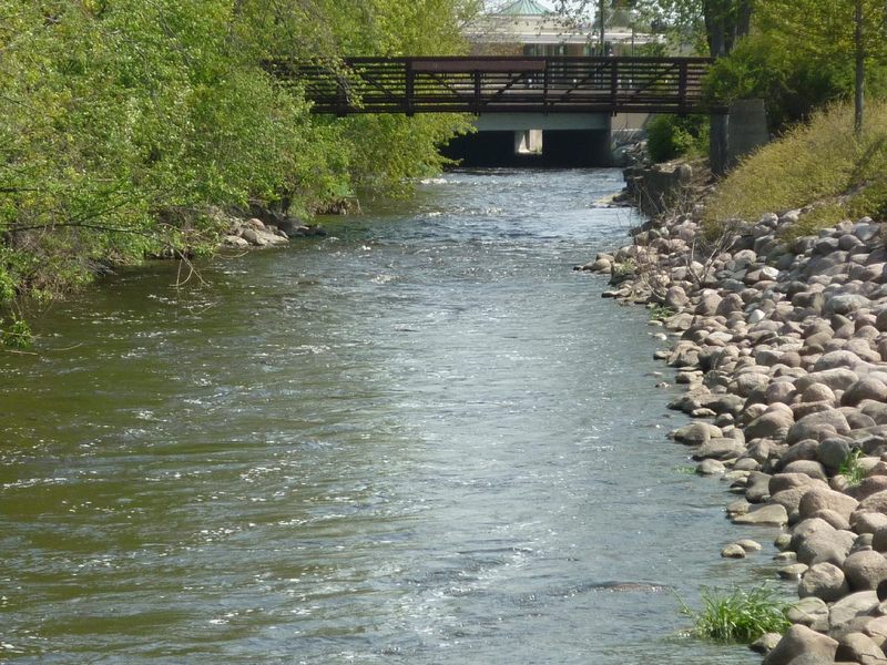
Second, the riverside path is low to the riverbanks here, whereas elsewhere (downstream) it may be less convenient to exit the river and get to parking areas.
Third, since this is a short stretch, it's most likely you'll be walking a shuttle rather than bothering with any vehicular shuttle. An early take-out minimizes your walk upstream with your boat (whether parking downstream and carrying up first, or parking upstream and carrying up at the end).
It is possible to continue downriver, but currents quickly diminish, and you'll find nothing more than a flatwater float.

Gauge location, just 1 mile downstream of the dam (the listed put-in for this reach), thus should be very accurate at reporting conditions for this reach. Drainage area at the gauge is 126 square miles.
No trip reports yet.