Sandy Stream
Freedom Pond to Unity Pond
| Difficulty | II-III |
| Length | 9.5 mi |
| Avg Gradient | n/a |
| Reach Info Last Updated | November 13, 2010 |
Sandy Stream is a nice stretch of class II and III water when there is lots of rain or a lot of snowmelt. There are 3 main rapids which give the intermedate kayaker or whitewater canoeist a challenge.
Note: though the reach description says 'Freedom Pond to Unity Pond,' there doesn't seem to be much gradient below the town of Unity, so the listed takeout coordinates are a road in town. Those who can't find a good takeout there, or who wish another mile of paddling, should head downstream to the pond.
Lat/longitude coords are approximate, from online maps.
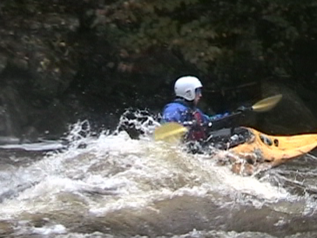
This is the first major rapid on this section. River right offers a nice ledge drop with a huge hole at higher levels. River left drops at a slower rate but still is a fun ride.
Mussy Falls is a good class III at high water. Under the river right side of the bridge is a good standing wave for surfing. Beware of table rock which is undercut on the river left side where most of the current goes. The stream turns right and at good water levels you can catch an awesome wave train I've paddled them at 4 to 5 feet.

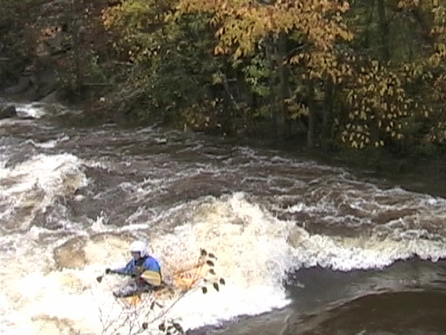
This is a nice wave to surf at higher levels. The hole is right under the bridge of 137. Downstream there is a small drop river right and some rips before taking out on the river left side.
No trip reports yet.