Cocheco
Watson Rd to Whittier St
| Difficulty | II(IV) |
| Length | 2 mi |
| Avg Gradient | n/a |
| Gauge | Cocheco River Near Rochester, Nh |
| Flow Rate as of 1 hour | 10 cfsbelow recommended |
| Reach Info Last Updated | March 23, 2025 |
Posted by Clinton Begley 7/04/2014
Ran the Watson to Whittier section with Alex DePue at 260cfs. Took out in the dark so we didn't get a chance to see the third falls. [Edit: added updated information on Third Falls as of March 23, 2025]
Kimballs falls was running plenty and the right chute reveals a significant kicker right in the middle of it. Alex did two runs and ran just right and just left of it with success. I took a line basically just right of center of the entire ledge and boofed onto a shallow shelf somewhat anti-climactically. There are better lines river left.
Hayes falls has three main lines. Far right is a right to left chute with a few short cascading drops finishing with a tongue into a curler.
Center line is a less than vertical drop to a shelf for a nice boof.
The left line catches a lot of water and features a boof about 2/3 the way down over a hole at the bottom.
The rest of the run to the bridge is uneventful. Poison Ivy abounds.
Posted by Clinton Begley 4/13/2014
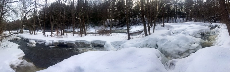
Scouted the Watson to Whittier street section today. Lots of snow and ice dams still but I wanted to flesh out the description and add some photos to this description. I'm sure there are many locals who know all of this better than I do, but a more robust description could be helpful. Today's level for the scout was 4.39ft (144cfs) on the Rochester Guage.
In addition to the acurate characterization by Curt and Nate in 2005, I wanted to identify the location of the 'Falls' on the stretch and give some idea as too what to expect.
Three main falls are present. Historical records identify them as Kimballs Falls, Hayes Falls and Whittier Falls in order of appearance as you move downstream.
Kimballs Falls is a river-wide feature ranging from 12-15' high at today's river level. There is a 'chute' of sorts on river right that looks to flow right int
...
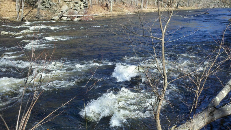
Scouted at 360cfs. Looks to be a great park and play spot- could see a few nice looking surf waves. Definitely not class IV, more 3-/2+. No visible hazards, but keep an eye out for strainers
Mar 23, 2025
Scouted from Dover Community Trail today at 360cfs. Was unable to put eyes on Hayes Falls. Added updated photos of Kimball & Whittier Falls.
there is very limited parking at take out (Dover Community Trail on Whittier St) MAYBE enough for 2 cars total.
Otherwhise Whittier Falls looks like it could be a great park and play spot
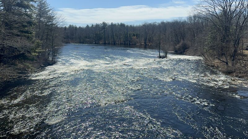
Mar 23, 2025
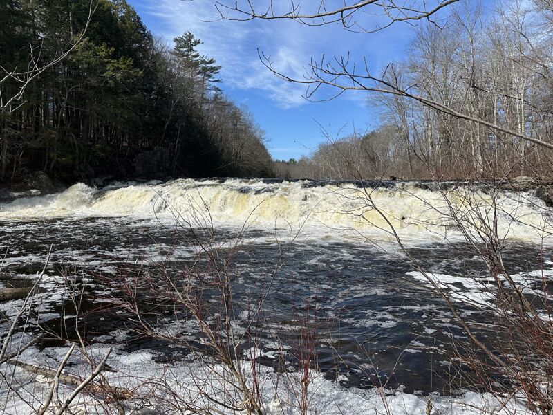
Kimball falls at 360cfs
Mar 23, 2025
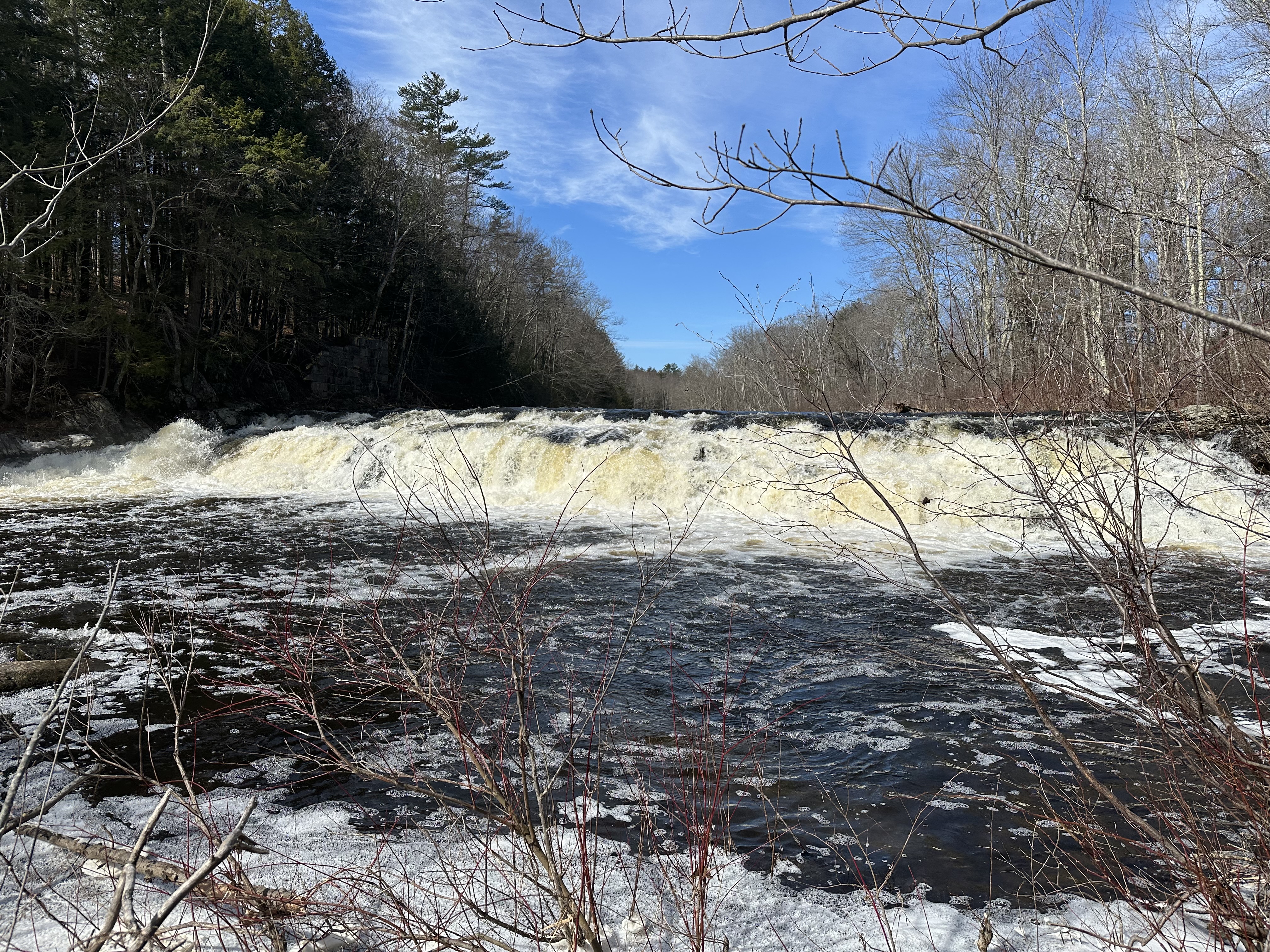
Whittier Falls at 360cfs