Noland Creek
1. Mill Creek to Lakeview Road(Upper Noland)
| Difficulty | V |
| Length | 4.2 mi |
| Avg Gradient | n/a |
| Reach Info Last Updated | December 12, 2025 |
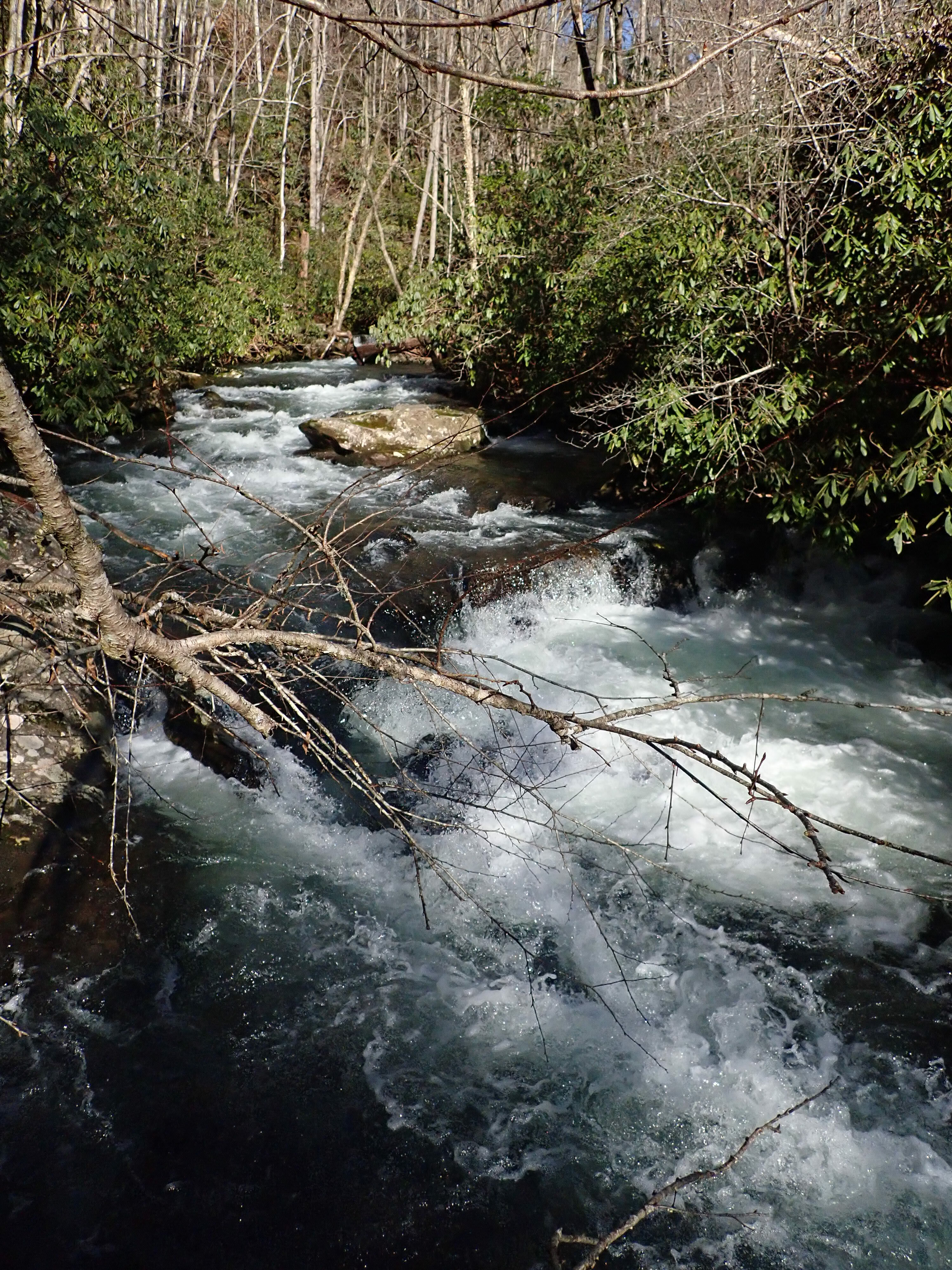
The last few miles of Noland Creek vary somewhat oddly in width and channelization, but take on a nature similar to Forney Creek in gradient and nature. Generally speaking, it is a rather narrow Class 3/4 (near the bottom) creek with superb water quality, lots of boogie, and the always present risk of wood (and sparse eddies). It is a fun packraft run.
Typical runs at normal flows will be best made by hiking up from the Road to Nowhere until the Creek gets small or you feel like putting on. Paddle back to the bridge or to the reservoir and hike back up to your car. For the long run look for the gated road off of the road to Clingman's Dome (the highest point in the Great Smoky Mountains), hike downhill, and when the stream is big enough to boat, put on.
Like most runs on that side of the NC side of the Smokies, 1000 cfs on the Oconoluftee is a reasonable minimum flow for the lower reaches with good packrafting down to around 850. For longer runs at higher flows and elevations look for 2000 to 2500 cfs.
Lat/longitude coords, especially of the takeout, are a wild approximation to get you in the ballpark. Enjoy the adventure!