New
09. Glen Lyn, VA to Bull Falls Camping Area, WV
| Difficulty | I-III |
| Length | 21 mi |
| Avg Gradient | 5 fpm |
| Gauge | New River at Glen Lyn, Va |
| Flow Rate as of 55 minutes | 3.34 ftlow runnable |
| Reach Info Last Updated | July 3, 2026 |
This is a lengthy segment which could be done as a canoe overnighter if care is taken with Shumate Falls and some of the other rapids. The two most obvious day trips are 1) in VA from below Shumate Falls to the state line using accesses along Rt. 649 on river left; and 2) in WV from Shanklins Ferry to Indian Creek using accesses on river right in the Bluestone Wildlife Management Area. This is a particularly pleasant and peaceful section of the New, since there are no houses, no highways, and no railroad tracks alongside (due to the Bluestone Project downstream).
For a shorter trip in Virginia from the Glen Lyn park (about 7 miles) you can cross over the 460 bridge to river left and turn right on Rt. 648, then bear right on the gravel Rt. 649, which has several good access points. This section includes Shumate Falls and Wylie Falls with a takeout near the state line. You can also do a bike shuttle if you put in at the first access on Rt. 649, shortening the run to 5.5 miles.
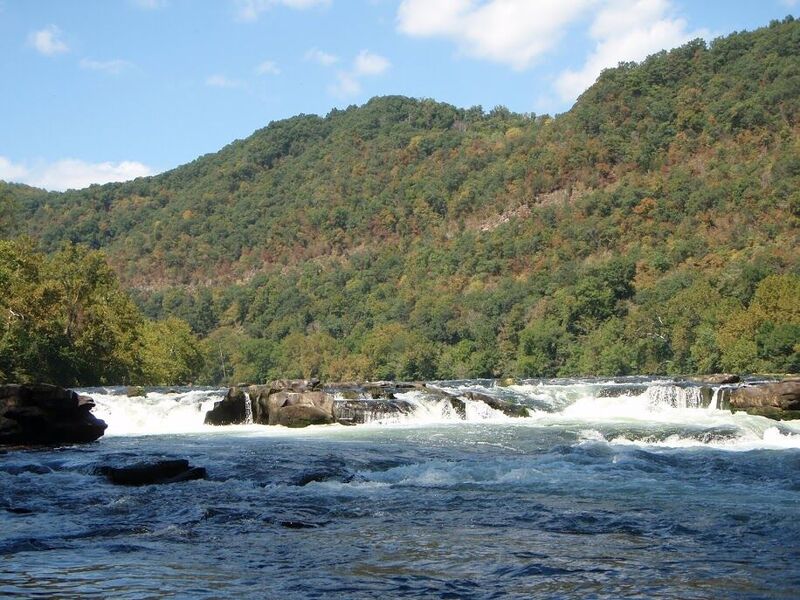
According to the New River Atlas, this section of river is marked by batteau sluices blasted out in the 1880s, of which Wylie Falls (on the far right) is one of the best examples on the New. At Shumate Falls, blasting was begun but never completed, resulting in the U-shaped ledge on river right.
Andrea Jones reports:
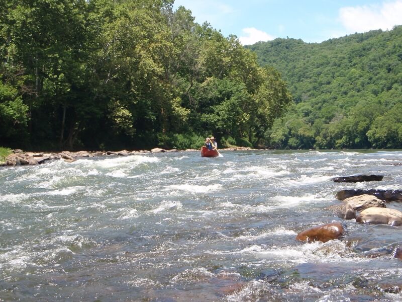
Putin is at Glen Lyn park on river right, just upstream of the Rte. 460 bridge at Glen Lyn. About two miles downstream of the putin is a rapid that has a 3 - 4 ft drop on the right into a horseshoe-shaped hole / foam pile, Shumate Falls. The left side is a class II cobble bar. Most of the other rapids are class I-II with an area on the right side of the river that appears to have been blasted out at some time in the past. NOTE: This is the backwater of Bluestone Lake and, if the lake is high, the last few rapids could be swallowed by the lake. Bluestone Dam is currently used for flood control, but could be converted to power generation in the future.
...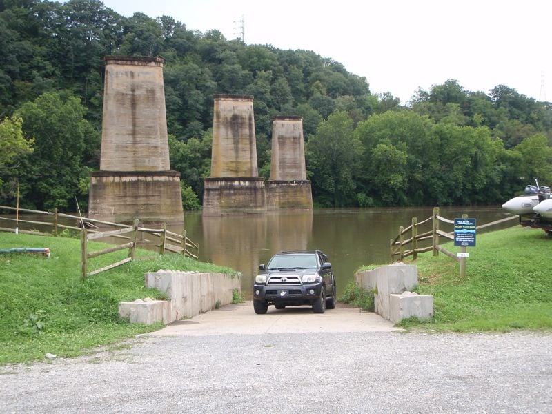
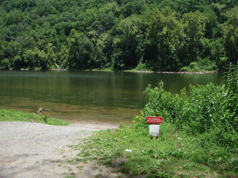
The Glen Lyn town park entrance is next to the eastern end of the 460 bridge over the New. After turning into the park, bear right to go past the pavilion, toward the river and the row of RVs/campers. Then bear left and drive to the upstream end of the RVs. There's a concrete ramp right at the row of tall old concrete pilings in the river, with parking nearby.
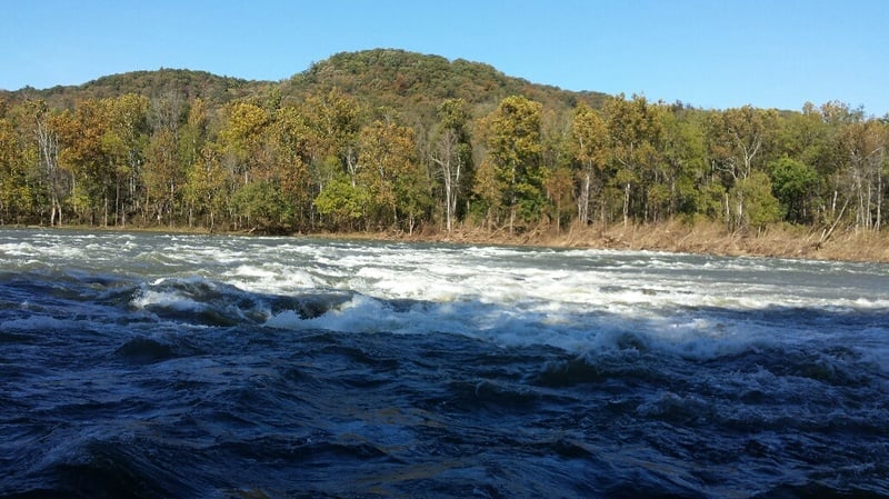
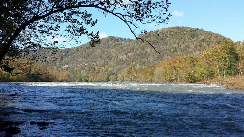
Shumate Falls should be taken seriously, although it is quite wide and generally class II on the left. The right side should be avoided due to the U-shaped ledge. At lower levels (around 3 feet) there can still be a decent drop on the left side. At higher levels you should be able to run several places on the middle/left.
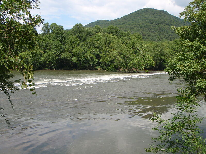
Wylie Falls can be run in numerous places, and probably most easily on the far right in the batteau sluice (to the right of some trees parallel to the flow) which is just a straightforward wave train. This can get difficult to access at low water though.
Access river left. Last possible takeout along Shumate Falls Rd. (Route 749), just before the WV state line. Short, steep access so if you don't have 4WD there's parking along the road.
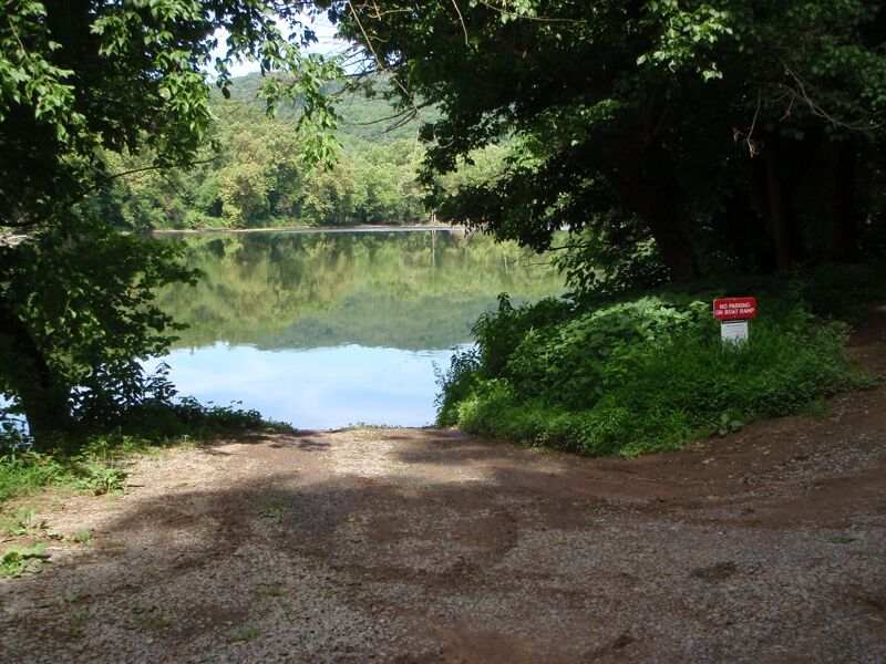
Boat ramp river right; camping available at the top of the ramp.
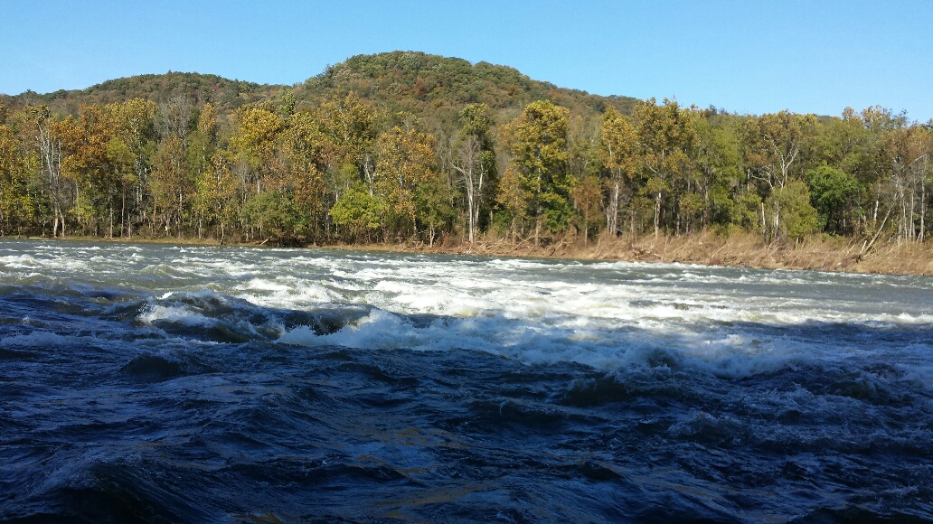
At low water Harvey Falls is a nice straightforward wave train on the right side of the rapid, just to the left of a rocky island. This may be an old batteau sluice since everything from here to the left bank is ledgier.
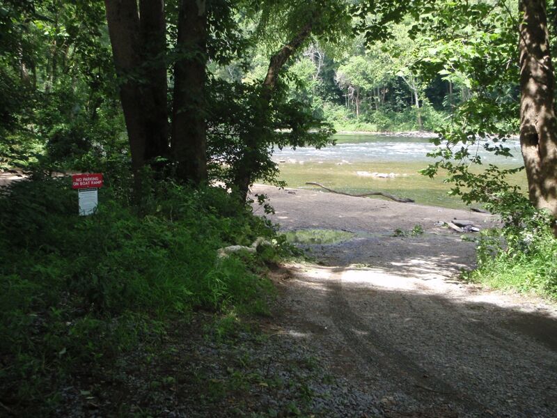
Indian Creek boat ramp, river right. The ramp is narrow and angles downstream, so you may need to watch for it when coming downstream. Camping available not far up the road from the ramp, as well as slightly further downstream past the mouth of Indian Creek.
Oct 30, 2018
Shumate Falls at 5.2 (Glen Lyn gauge)