Little
Tanyard Bridge to Stamp Creek Access(Flat Shoal River)
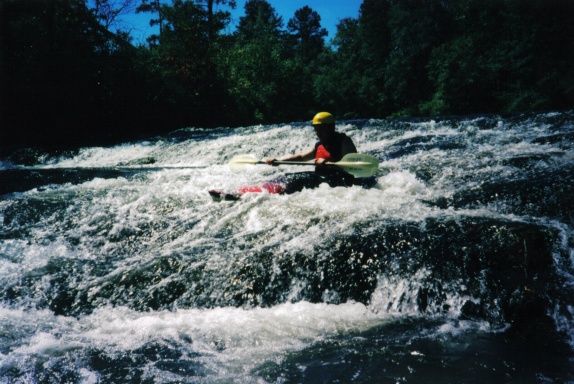
| Difficulty | II |
| Length | 4.3 mi |
| Avg Gradient | 2 fpm |
| Reach Info Last Updated | October 30, 2010 |
Technically, this is the Little River at this point but paddlers frequently refer to it still as Flat Shoal River. Below Tanyard Bridge, the river continues for another half mile. It turns around a bend a drops over the last class-3 rapid. There are a couple more class-I riffles before it enters Lake Keowee at mile 0.8. From here, it is 4 miles across the lake to Stamp Creek Access.
No trip reports yet.