Umatilla
1. Hwy 11 to Pendleton Roundup Grounds(Pendleton Town Run)
| Difficulty | II |
| Length | 2.1 mi |
| Avg Gradient | n/a |
| Gauge | Umatilla River Near Umatilla, or |
| Flow Rate as of 35 minutes | 82 cfsbelow recommended |
| Reach Info Last Updated | December 16, 2022 |
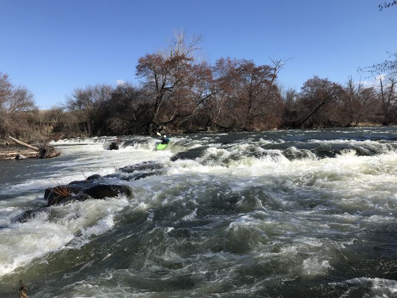
This is a good beginner training run with a couple of fun rapids and plenty of places to practice eddy turns and ferries.
Logistics
The put-in is located on the downstream river left side of the Hwy 11 Bridge on the east side of town. Park at the baseball fields and walk up the levee trail to access the river. For the take-out head downstream through town to the Pendleton Roundup Grounds. Roy Raley Park is along the river here just downstream of the 10th St Bridge. Access the river off the levee trail on river left. This trail parallels the run.
A better flow gauge for this section is the Umatilla at W Reservation Bndr Nr Pendleton at https://waterdata.usgs.gov/monitoring-location/14020850/#parameterCode=00060&period=P7D
The flow in the lower Umatilla is effected by several diversions and the addition of water from McKay resevoir below this section.
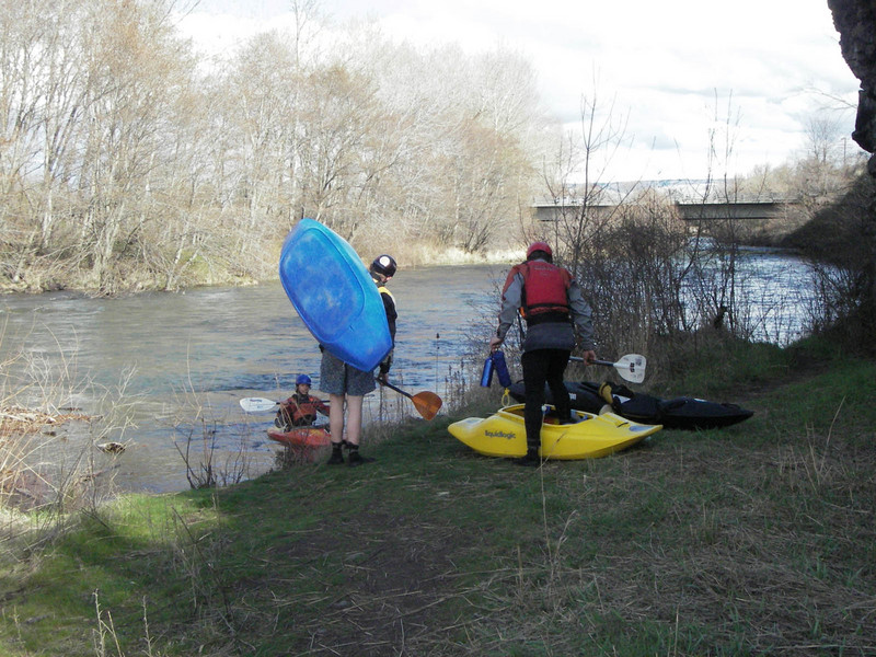
The put-in is located on the downstream river left side of the Hwy 11 Bridge on the east side of town. Park at the baseball fields and walk up the levee trail to access the river.
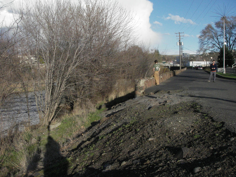
The take out is at Roy Raley Park adjacent to the Pendleton Roundup Grounds. Take out on river left downstream of the 10th St Bridge. Access the river from the levee trail that parallels the run.
Mar 11, 2022
The ‘Mission to Pendleton’ section is a worthy addition to the normal run. Heath Ledger aka the Joker rapid is about .6 miles below the put in bridge. Recommend scouting from river LEFT. At flows of 1400, and 1650 ‘Mission to Pendleton’ the first 1.25 miles is class 3.
Mar 6, 2022
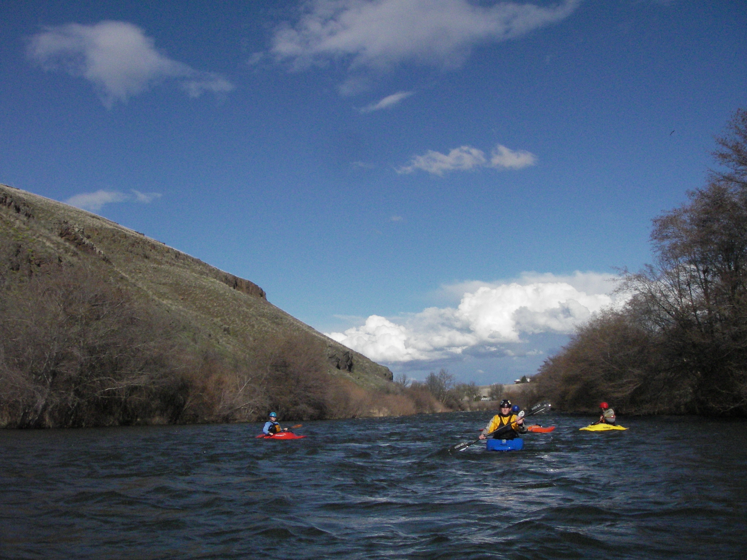
Today we put on higher than we usually do, and we took out lower. Making this run about 10 miles in total. The flow was about 1650cfs. Normally we put in at the fishing access off Mungra road. Today we went up to the bridge on hwy 331, in the small town of Mission. The ‘upper’ was super fun. Lots of great surf, and basically non stop action at these flows. Solid +2, or 3 considering how swift the water is, and the ever changing wood. There was one basalt ledge on this upper section that I snuck on the right. It was a ‘large’ horizon line, once we were below it there is a noticeable tongue that looks runnable on river left, and basically the whole thing was boofable at these flows. Scout or Portage that horizon line on the left, maybe 3/4 mile below put in. Down to the normal put in was more boogie class 2 type stuff, and the in town run is highlighted by ‘taco time falls’ which you can drop just about anywhere. Below our normal takeout at Trailhead Park we continued down to the next road access about 2-3 miles further. The action and wood below the highway/train bridges was a thing to watch for but all good. Generally this sectioned mellowed out a bit, with plenty of eddy hoping to be done. We took out at the bridge on Birch Creek road. All in all the run was fun. The upper 1/3 was the most action, followed by the middle part through town, and finally the lower third was the most chill. Giver a rip!
Feb 17, 2015
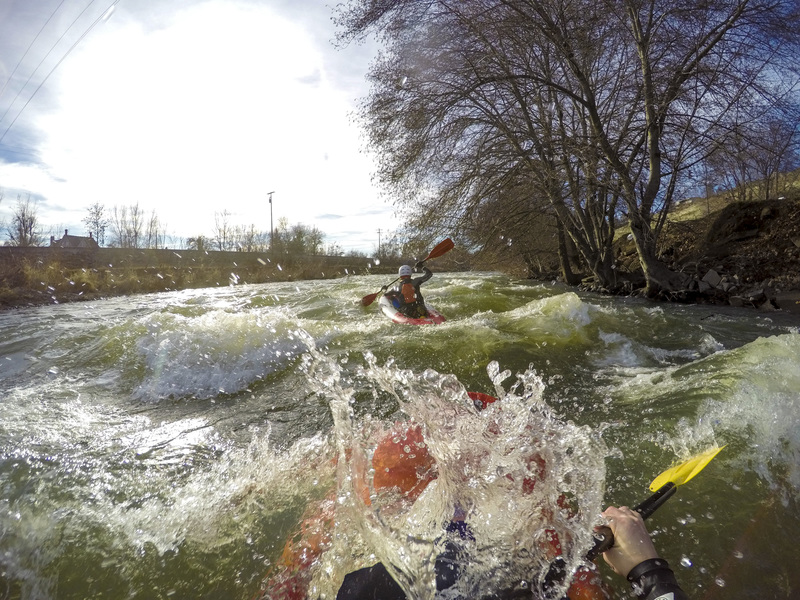
A fun wavetrain down the right channel directly after passing beneath the green, trestle-like bridge.
Feb 17, 2015
A fun wavetrain down the right channel directly after passing beneath the green, trestle-like bridge.
Feb 6, 2015
Wavetrain midway through the run.
Feb 6, 2015
A fun wavetrain down the right channel directly after passing beneath the green, trestle-like bridge.
Feb 6, 2015
A fun wavetrain down the right channel directly after passing beneath the green, trestle-like bridge.
May 28, 2011
Ran today at about 3,600. Water was pushy and felt more like a class 3 or 3-. Few big waves, and the water was up in the trees in most places. It took just about 25 min on the water to run, so it was moving quick. We took a line down the left side and that was clear for the most part. Overall really fun run and their is a great bike path next to road that made an easy 1 car shuttle. Directions above were still accurate and easy to follow, (Thanks Ben). If you like a quick run this might be a good one to do.
Apr 24, 2010
The Umatilla is the backyard run for much of SE Washington and NE Oregon. It flows right through downtown Pendleton, past the rodeo grounds, and offers a great early morning or after-work run with a bit of surfing, a bit of floating, and some waving to the people on the bridges. The river is generally runnable down to 600 CFS and is fun up to about 2,000 CFS, but we did find it runnable with a huge bouncy wave / hole at the takeout at a it over 8,000 CFS.
This last week the run came up to just over 1,000 CFS on the Oregon Levels gauge (http://www.wkcc.org/levels/?P=Oregon.html), so we headed out for a quick friday morning run. To reach the put-in, take 17th St. (by the hospital), from Court Ave (the main st.). Go north to at T intersection. Take a right at the T, pass the baseball fields, and you'll find a dead-end with parking right by a paved walking trail. If you walk upstream to the end of the paved trail, you'll find a nice spot to access the river. The put-in has some wood near it, so be careful, probably not the best spot to practice eddy-turns. There is a major hazard of wood throughout the entire run, so be very careful, especially around the bridges. As you head downstream you'll find lots of nice waves. Right after the first bridge there will be a trailer park on the right bank, and some of the best waves are in this section. Just downstream is a broken down weir. Run on the left (don't try to run over the weir, it's got rebar in it). You can eddy out safely behind the weir and play on a great wave that is just off the end of the weir where it has fallen down. The next stretch has a lot of fun waves and eddies, and the river is flowing adjacent to downtown. The biggest rapids are just below downtown. You'll be able to see the roofs of the rodeo-stadium and there is a gauging station of the left in the biggest rapid. Run down the middle and punch some holes. Not a great place to play as there is lots of rip-rap in the river (a grocery cart spend most of last winter in this rapid). Continue downstream to the take-out which is a park on river left under two really big overpasses.To reach the takeout from the put-in continue down Court Ave through downtown, until it takes a gradual right onto Westgate. Just before the road heads up onto a bridge, take a right into the Sears parking lot. If you stay to the left, you'll end up at a dead-end with a city park and bathroom with river-access. Another option is to use the paved trail that runs the length of the run to either walk, run, or bike the shuttle.
This is a fun, and quite short run (just under 3 miles). Watch for wood and crap that people have thrown in the river, and have fun on all the fast little waves!
Pictures can be found at www.cohophotography.com/2010/umatilla
Mar 1, 2006
The town run on the Umatilla as it flows through Pendleton at 1320 cfs.