| Difficulty | I-II |
| Length | 13.4 mi |
| Avg Gradient | n/a |
| Gauge | Cartecay River Near Ellijay |
| Flow Rate as of 31 minutes | 1.78 ftbelow recommended |
| Reach Info Last Updated | May 20, 2009 |
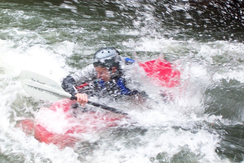
River Description
Min Recommended Flow: 1.8 ft.
Max Recommended Flow: 6.0 ft.
VisitÃÂ 2. Lower Cartecay Road to Stegall Mill Road Road (Middle Cartecay) ÃÂ for more details.
River Features
Take Out
Access PointDistance: 0 mi
Put In
Access PointDistance: 0 mi
Trip Reports
Log in to add a reportAB
Amy Buttler
May 18, 2017
We ran the Cartecay on Sunday 5/16/2017. It was at 1.95 and it was fun. S turn as always threw me in the water but I cleared Blackberry Falls by going to the far right of the Rooster Tail. Only a handful of people were on the river so that made for a relaxing time in between the rapids. The trees were full with summer flowers and the water was not too cold.
RB
Richard Bronosky
Jul 10, 2013
I think they have the map wrong too. They have the Put In at lat 34.6522, long -84.3981 and the Take Out at lat 34.6917, long -84.4789 which is way off. Based on the description it should be more like
34.649700,-84.395100 to lat 34.6383, long -84.4087 as seen here: http://goo.gl/tr84w