Chattahoochee
1 - USFS Road 44 to Robertson(Upper Upper Hooch)

| Difficulty | II-IV |
| Length | 7.4 mi |
| Avg Gradient | n/a |
| Gauge | Chattahoochee River at Helen, Ga |
| Flow Rate as of 1 hour | 68 cfsbelow recommended |
| Reach Info Last Updated | December 4, 2010 |
Northern Georgia Canoeing, Sehlinger, B. and Otey, D.
Appalachian Whitewater : The Southern States
Last checked, the upper reachs of this run were heavily choked up with fallen
trees. The lower half of the run that is roadside is still good to go, but
only class 2-3.
Brad Roberts
April 2001.
Dec 2, 2010
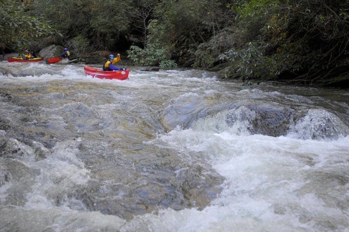
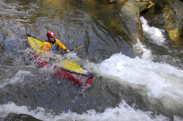
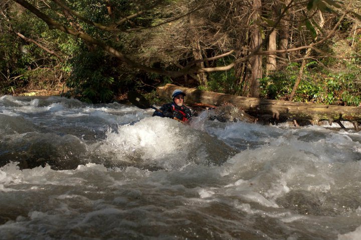
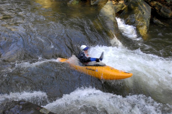
We ran this stretch on December 1, 2010 after a good rain. The level spiked to 3.75 ft the night before, and was 2.1 ft. when we put on for the first run. Went back for a second run and it was about 1.9 ft. We were going to put in at Low Gap Creek, but decided that the level was dropping too fast. We put in at the ranger station and boated down to the GA-75 Alt bridge.