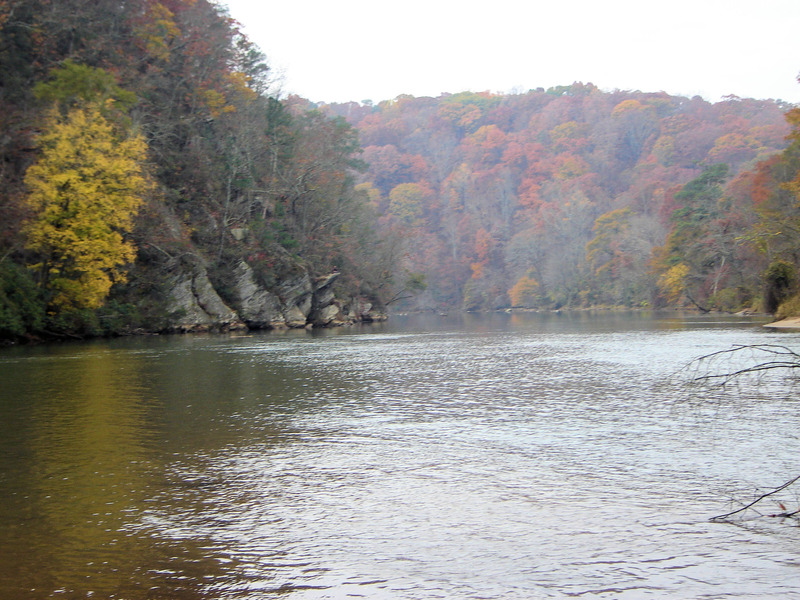
Chattahoochee
6 - Metro Hooch - Powers Ferry to West Pallisades/Paces Mill(Metro Hooch)
| Difficulty | I-II+(III) |
| Length | 2.6 mi |
| Avg Gradient | n/a |
| Gauge | Chattahoochee River at Atlanta, Ga |
| Flow Rate as of 15 minutes | 1080 cfsrunnable |
| Reach Info Last Updated | May 5, 2025 |
Gauge Description:
There are three gauges of note for this run. The main one listed is USGS 32336000 CHATTAHOOCHEE RIVER AT ATLANTA, GA. This is located a little under a mile below the main Paces Mill takeout at Paces Ferry Rd. This is also the gauge the levels referenced below are from. They correlate closely with the put-in gauge, USGS 02335880 CHATT R AT POWERS FY & I-285 NR ATLANTA, GA. These gauges are typically within around 100 CFS of each other, but it takes about 1 to 1.5 hours for the water to travel from Powers Ferry to Paces Ferry. Personally, I use the Powers Ferry gauge since it is actually located in the run, but either one will work.
Additionally, you can check the USGS 02335815 CHATTAHOOCHEE RIVER BELOW MORGAN FALLS, DAM, GA gauge. This gauge is located about 6 miles up river from the put-in. It takes about 2 hours for the water to travel from Morgan Falls to Powers Ferry. It's a good idea to check this gauge as it will show you if the dam is currently releasing. Georgia Power also has real-time data for this site which also includes the dam resevoir level. When this level approaches 866.0 feet, Morgan Falls will release.
Powers Ferry Gauge- USGS 03235880 (Powers Ferry)
Morgan Falls Gauge - USGS 02335815 (Morgan Falls)
Optimal Levels: 2500 cfs and up.
Optimal Playboating Levels: 5,500 to 7,500 CFS
At the upper end of this range the eddies disappear but the holes get deeper, at the lower end of this range, some of the holes get shallow but
...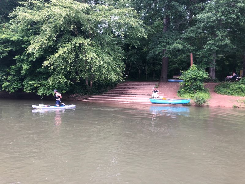
There are a set of concrete stairs and a small remnant of a platform.
The word is they are planning a new platform soon. 2022
This alternative put-in works well if you're bike shuttling. Parking is close to the river bank. There are a couple good launch spots along the bank. The bike path runs through this parking lot.
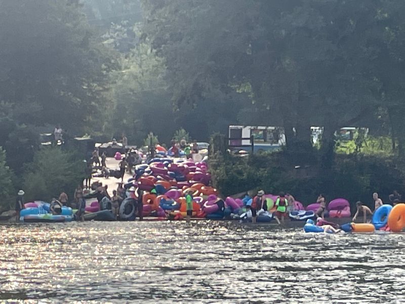
River left Powers Island parking lot, the put-in most boaters use. Also the location of NOC's seasonal tube rental operation.
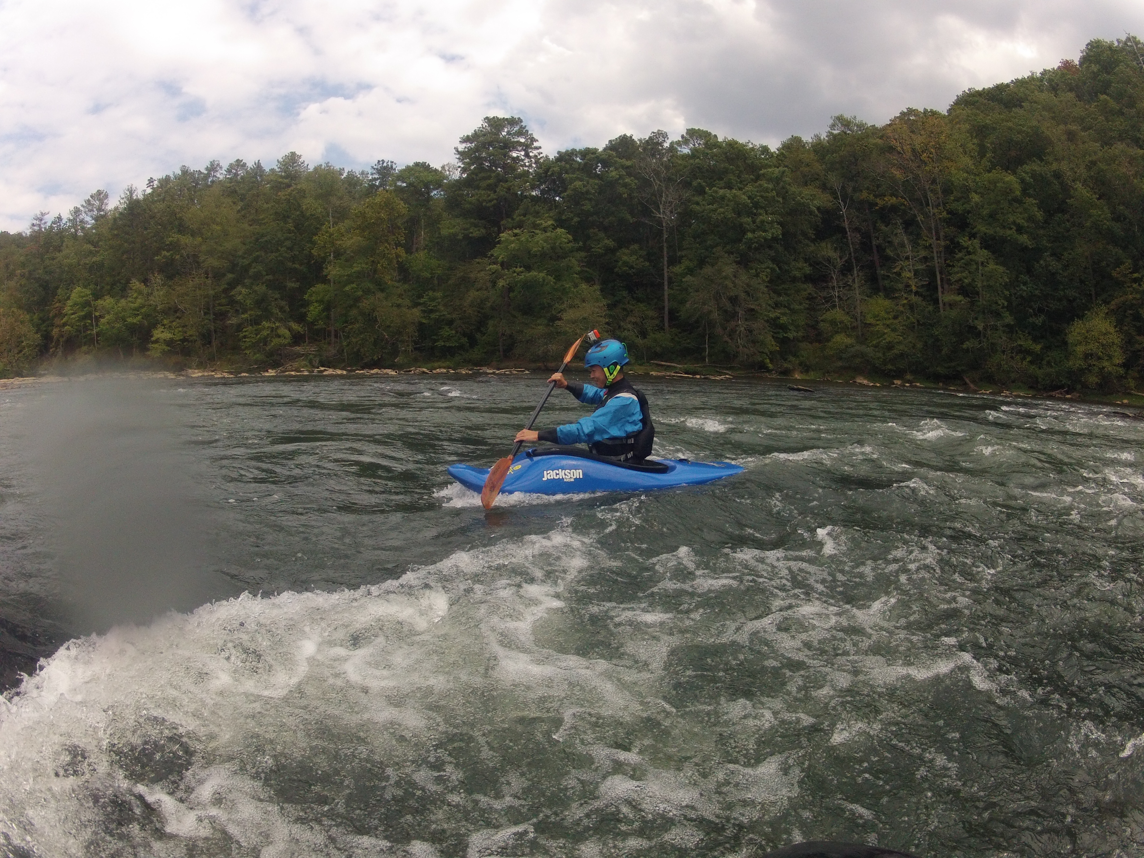
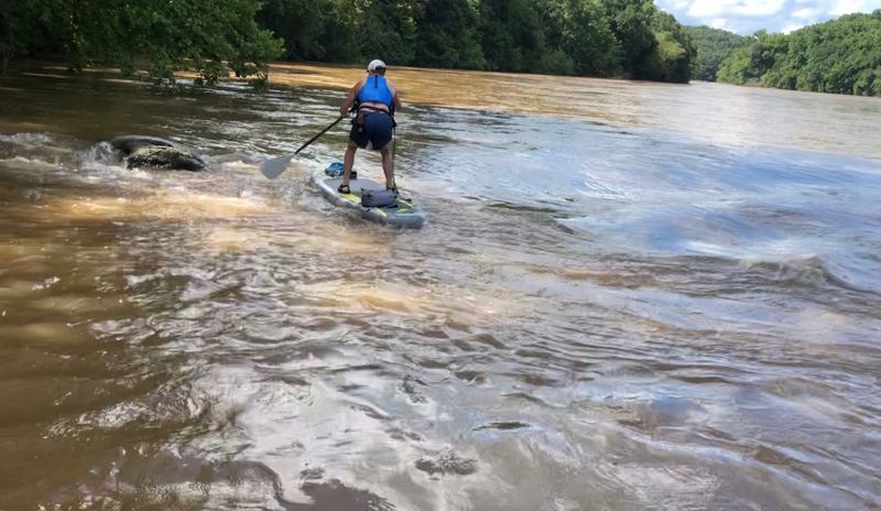
Located on far river right below the Powers Ferry bridge. This is one of the best holes for spins, cartwheels and loops on the river at lower playboating levels. The hole is a dry rock below 1,500 CFS, but up to about 7,000 CFS it is an excellent playhole. Over 7,000 it is more of a wave.
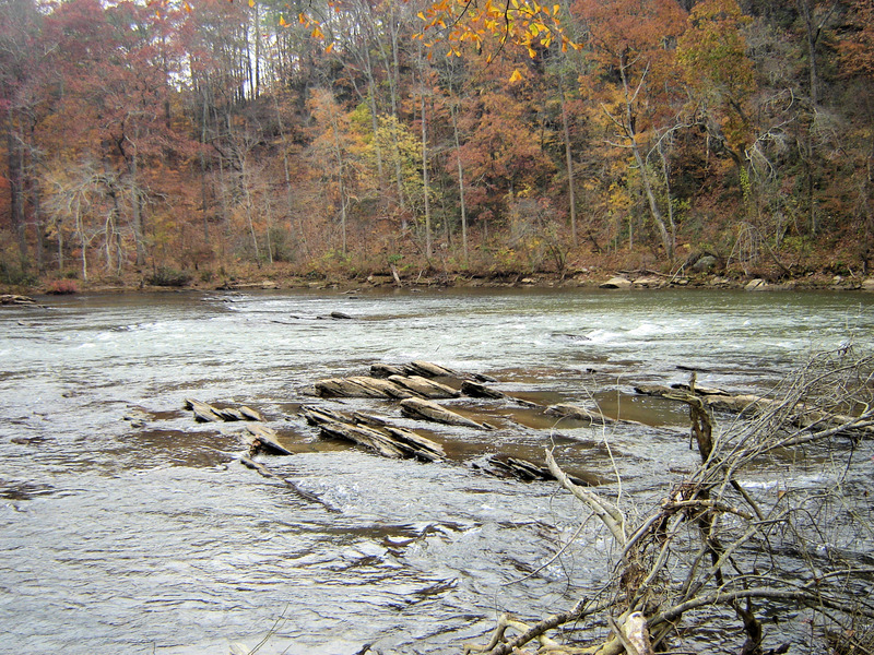
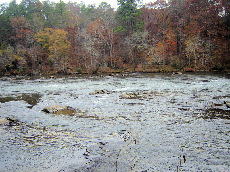
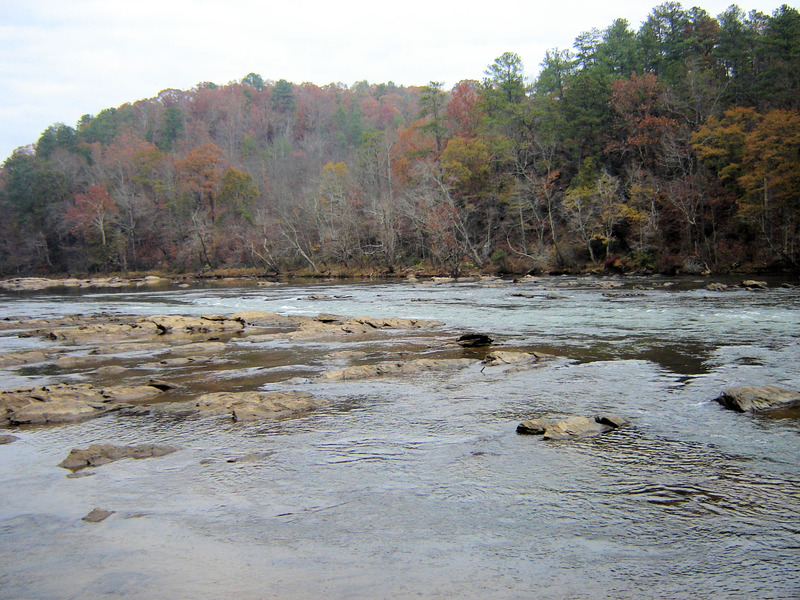
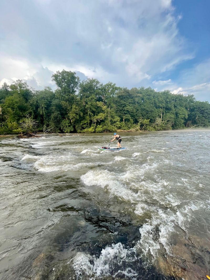
First Set of Ledges. Above 2000 cfs the best surfing is on river left. Most of the flow goes far right through a class II chute with good eddies on both sides. Far left there is a short but good wavetrain at flows of 2000-4000 cfs.
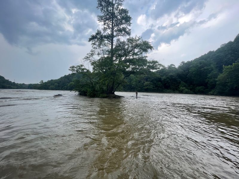
In the flat pool between the first and second set of ledges theres a big eddy on river right beside a sandy beach. For the squirt boaters there is a very nice seam here. Downtime is possible.
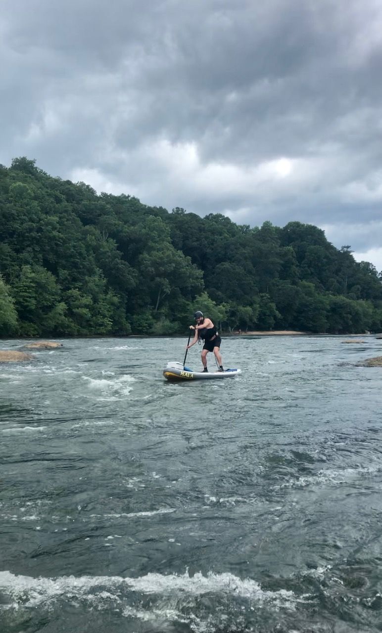
The second set of ledges. Sometimes referred to as 'The Devils Racecourse' from an old William Neely map. The main route is a chute down the middle. Good eddies on both sides, good eddylines for squirting. Slalom gates are sometimes hung here in the winter. For those into attainments, the upstream move here is one of the hardest on the river.
Some surfing to be found on the left side of the island at low water and some side surfing holes on the right side of the island at high flows.
NOTE: There are some old metal ferry spikes, about 2' diameter, in the eddy on the left side of the island. There are three in a line perpendicular to the island. These are visible only at very low water, but they stick up about 12-16' above ground.
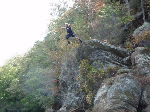
Big Rock outcrop on river left. Lots of drunk people jumping off it during the summer.
At high flows some surfing can be found.
Above the next big Island there is a nice big eddy on river right, just before the river goes around a right bend. Local expert squirt boaters get up to 10 seconds of downtime here.
For Squirt boaters who want to park and play there is the Whitewater Creek access point on River Left. The Whitewater Creek Road Parking area is on the left where Long Island Creek enters the river.
As you come around the last bend in the river and the I-75 bridge comes into view there will be a Volkswagen sized rock on river right. There are strong eddy lines on both side of the rock for squirting. This boulder is mildly undercut, I don't recommend splatting the upstream side.
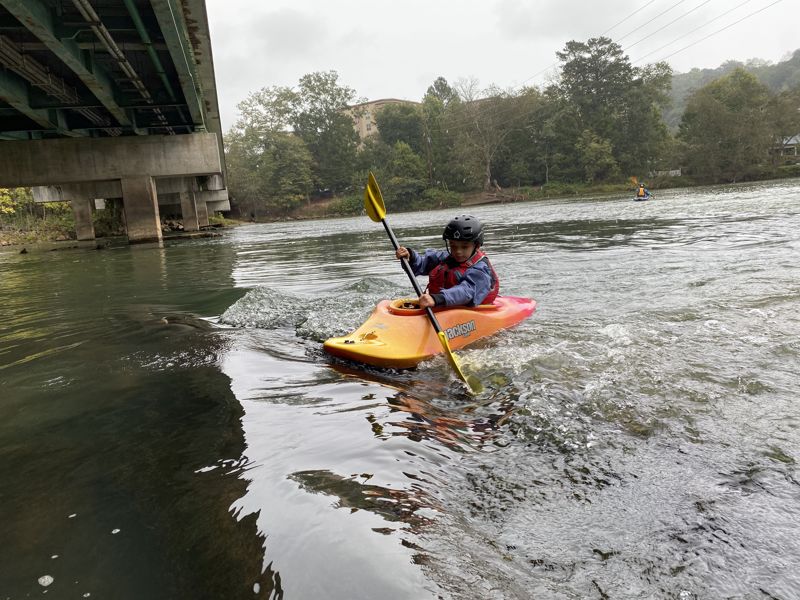
Use the main boat ramp on river right. If you go under Highway 41, there is another boat ramp. There are no public access points for several miles after this.
Nov 10, 2019
Nantahala Outdoor Center NOC is the outfitter on the Metro Hooch. They will rent you anything you want to get down river and can arrange instruction for those that want to learn.
Apr 4, 2015
Ran the 'hooch from Johnson Ferry to Paces Mill on 3/21/15, about a 6.5 mile float that took us a little over 3.5 hours including a brief lunch on the beach at diving rock. If you just float (don't paddle) it takes about 5 hours. Water level around 3 ft which I think is about 2100 cfs. It was a nice relaxing paddle on a beautiful day. Saw otters in multiple places. I'm told they can be aggressive but they didn't give us any trouble. Nice stretch to float if you aren't looking for a big adrenaline ride. I took 3 newbies with almost no experience paddling and my dog in my kayak and we didn't have any trouble. We were in two tandem sit-on-tops. Watch out for fly fisherman at the takeout, they can clog up the area pretty well.
Nov 21, 2010
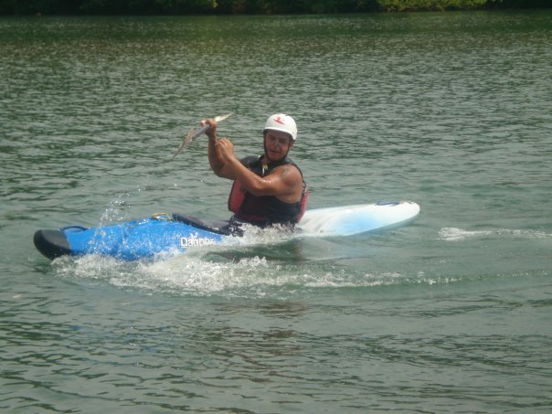
First off, there is no class II+ rapid on this section. Went down this section twice yesterday (1480, 1200 cfs) and we had a great time. Brought a buddy who had never been kayaking and whitewater and he had a blast. The water was green, didn't smell and the scenery was amazing. This section gets a lot of bad publicity, but I enjoy it everytime. The two corner rapids are class II... they are both listed as II+, but they aren't. Most fun part of this run is the 100 yard section of rapids above the Island. It carries you all the way around the corner where there is a smooth, rounded rock river right that you must navigate before making the turn. At 1480 cfs the wave train on the Island rapid will get you wet.