Big Creek (Tributary of St. Joe River)
Along Road plus Hike to MF put in(Big Creek)
| Difficulty | III-IV |
| Length | 9 mi |
| Avg Gradient | 50 fpm |
| Gauge | St Joe River at Calder, Id |
| Flow Rate as of 31 minutes | 844 cfsbelow recommended |
| Reach Info Last Updated | March 20, 2011 |
Description:
The creek can be divided up into 3 sections:
Middle Fork Big Creek put into Upper Big Creek to the end of the road
Difficulty: Class III-IV
Distance: 2 miles
Gradient: 160 ft/mile
level on St Joe gage: 5000 cfs for a low water run
Put in: Hike from the end of the road up the pack trail. Some switch backs and 600 vertical feet total. Can see much of the creek during the hike, but it comes back down to the Middle Fork Big Creek.
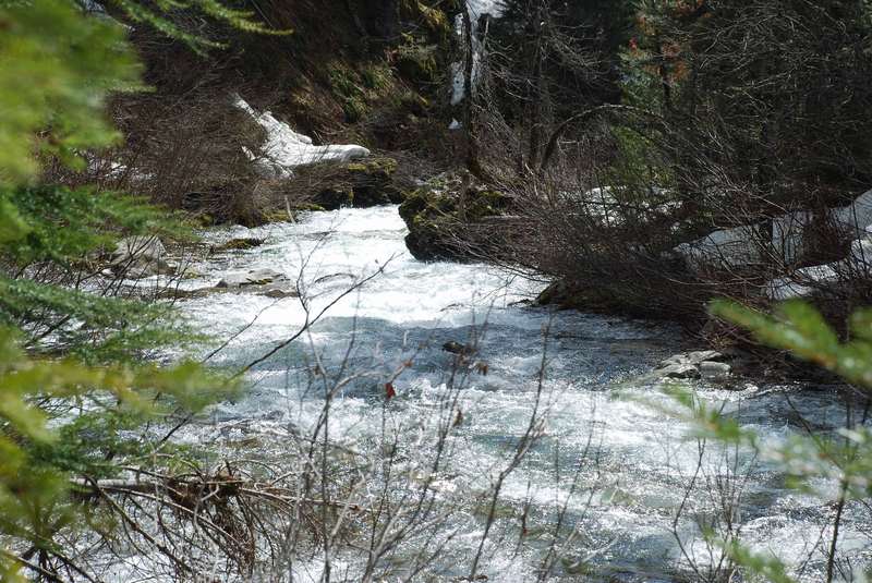
Note: My estimate is the water level can quicky change the difficulty of this run because of the narrow creek bed and constaint gradient. Use your own judgement and watch out for the one river wide log jam 15 mins into the run.
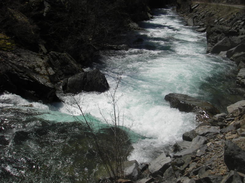
Upper Big Creek (road side) (known section)
Difficulty: Class III (IV)
Distance: 2 miles
level on St Joe Gage: 5000 cfs for a low water run
Definitly combine these two sections for a great day exploring.
Lower Big Creek section is a beautiful fast class I-II for 5 miles to the next bridge. Put in at first bridge 5 miles up from the St Joe. 5000 cfs for a nice easy float.
No river features have been added
Jun 1, 2017
The shuttle road for this run is closed just below the standard takeout because the bridges have been designated unsafe for full-sized vehicles. You can get around the gate with standard sized ATVs (but not with wide UTVs).
Apr 28, 2007
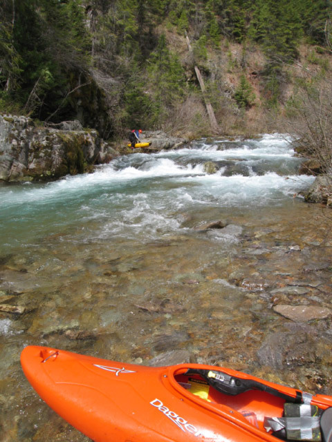
Typical rapid on the Middle Fork of Big Creek after the hike in. I took this from one of the larger eddies we encountered.
S-Turn Rapid (15 min down from put in). Mike caught an eddy on the right because just out of view downstream is a riverwide log jam (see log jam photo)
Potage around river wide log jam. Small eddies above the log jam and its at the end of S-Turn rapid (no good view of the log jam at the start of the rapid).
This is the hike to the put in on the MF Big Creek from the end of the road. It follows a pack trail for about 2 miles and goes up about 600 vertical ft at the highest point.