Trip Reports
Log in to add a report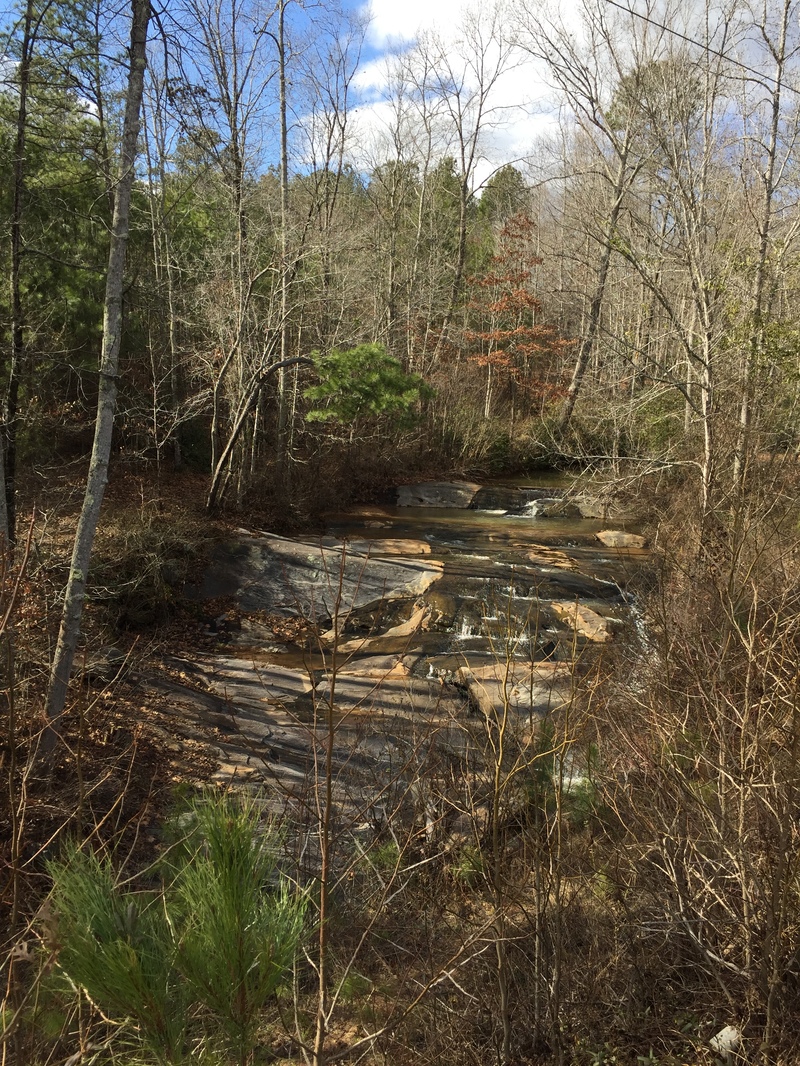
WR
Will Reeves
Jul 11, 2005
Metro Atlanta Gnar might be a bit of an overstatement. This run is fun at the to but far from gnar. The top part is similar to the North Fork of the French Broad but just is not as long. Then the creek becomes a miserable tree infested ditch and finally a pond.
When the takeout road is 4-5 feet underwater Hurricane Creek is ok for a one time run. The falls still look mighty impressive.
WR
Will Reeves
Jul 11, 2005
The paddle out gets close to really sucking as the trees and foliage are annoying.
BR
Brad Roberts
Jul 2, 2003
Snake Creek at whitesburg might be a better indicator for this one over sweetwater. Similar sized drainage, and closer.
BR
Brad Roberts
Jul 1, 2003
It looked good at the top, so we set shuttle. When we got to the bottom the road was covered by about 6 inches of water. This is now my guide, if the take out road is under water, the run is good to go!!! It dropped about a foot while we were on it.
The run starts out as a 10 foot wide ditch. We put in on the downstream side of hwy 5. The current was moving fast over small 2 foot ledges. The tree canopy was almost at water level. There was a lot of ducking under branches. Pretty soon the ledges started getting bigger. First 3 feet, then 5. The a creek comes in on the left and the stream opened up. The drops started to get big, and they were stacked on top of each other. A couple of 6 foot and 8 foot slides and some pretty big horizon lines. The eddys were small and sketchy, but the drops were boat scoutable from the eddies. Then there was a big 12 foot or so slide. The holes at this point were pretty meaty. Below the big slide were a couple of small drops, then a MAJOR horizon line. This one we got out to scout.
This was a big class 5 20 foot tall waterfall with a sketchy landing zone. There were only two of us and we put on late...used some common sense for a change and portaged. There is a trail on river left around the falls. Follow it up the hill about 30 feet, the cut right. Don't take the first trail down, take the second. It ends in a nice beach below the falls and the run out drops. Below the falls there is still some good class 4 for maybe another half mile. Very continuous, steeper than I was expecting. Lots of scrambling going on, but everything was still boat scoutable.
Eventually it flattens out. From there the river meanders and twists and turns and turns some more. We had to get out of the boats 4 times to portage log jams. We also hopped and boofed a number of logs, and limboed under a bunch more. Total time on the run was right at two hours. We were scampering right along too get off before dark, but the last half hour we got caught in the dark.
This is my new favorite Metro Atlanta Gnar!!!
BR
Brad Roberts
Jul 1, 2003
Mostly bedrock slides. Most of the rapids are open, but some of the slides have some shallow landing zones. Jim M and I both pitoned at least once. One sketchy tree in the second rapid past the falls, but you can get around it on the left. All of the rapids above the falls were free of trees. I didn't notice any undercuts on the run. Overall we gave the run a class 4 rating with one class 5 in the falls. The paddle out kinda sucks, but the adreneline buzz was still going pretty good at that point. It was all good :-)