Kaweah
Terminus Dam to VIsalia
| Difficulty | I(II) |
| Length | 3.9 mi |
| Avg Gradient | n/a |
| Gauge | Dry Creek Near Lemoncove |
| Flow Rate as of 29 days | 0 cfsstale data |
| Reach Info Last Updated | September 15, 2006 |
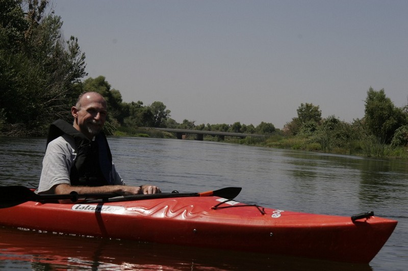
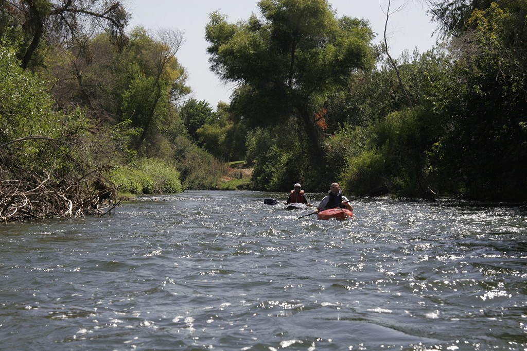
This section is mainly flat water with nice scenery and close to Visalia. There are two class 2 rapids just below the highway 216 bridge formed by old rock weirs. There are a lot of diversions along the way. Some of the diversion weirs are definite portages, such as the weir at McKay point. Others are formed of rocks or busted concrete and may be runnable at some flows. Be careful of rebar which may be sticking up in some of these weirs.
Put-In: From Visalia drive east on highway 198 towards Three Rivers. Before you get to Terminus dam, you will pass through Lemon Cove. One mile past Lemon Cove, turn left onto Highway 216 and go 1/2 mile to a bridge over the Kaweah River. Park on the northwest side of the bridge at the intersection with Dry Creek Road. There are easy launch points on the upstream side of the bridge.
Woodlake take-out, 4.5 miles: From the put-in drive east on 216 to Woodlake. In town at the stop sign, turn left onto Highway 245. Drive about a mile and park on the northwest side of the bridge. A trail leads down to a good take-out at the river on that same side. This is next to the Woodlake Airport, but the manager at the airport has asked that river users not park on the airport property. There is quite a bit of room at the bridge.
There are a variety of put-in and take out options between here and Visalia.
St. John's Parkway at Lover's Lane, 15.5 miles:
Aug 26, 2006
The river narrows as it flows past a few houses and lots of overhanging trees. The banks are thick with wild grapes and blackberries, and big orb spiders.
This interesting dirt bluff is about halfway from the road 216 put-in to Woodlake.
This large diversion structure divides the river into the St. John's river to the right and Mill Creek to the left.
The reversals on this weir look to be of the classic death trap variety.
Looking upstream from the walkway on the diversion weir at McKay Point. You can hear the noise from the drop, for a long ways upstream and the current slows to a crawl. Portage on river right, close to the weir.
Jan 1, 1900
Looking downstream towards the Highway 245 bridge south of Woodlake. There is good river access for take-out or put-in on the river right, downstream side of the bridge. There is room for parking on the shoulder of the highway by the bridge and a trail leading to the water.