Nowadaga Creek
Newville to Indian Castle
| Difficulty | II-III |
| Length | 4.3 mi |
| Avg Gradient | 38 fpm |
| Gauge | Canajoharie Creek Near Canajoharie Ny |
| Flow Rate as of 12 minutes | 2 cfsbelow recommended |
| Reach Info Last Updated | April 21, 2016 |
The put-in is located where Newville Rd. crosses the creek. The take-out is at the bike path bridge below I-90 or you could continue down to the Mohawk river about 1/3 of a mile further.. This run is going to require a lot of rain or spring run off to get going. It's pretty much an all shale bottom run until the last mile or so. Plenty of ledges but nothing huge. The creek narrows down in spots and bends pretty good and this creates some nice fast chutes with some ledges in them. There are three or four of nice waterfalls flowing into the creek. One of which would be a pretty cool drop to carry up and run. There is no gauge located on this run, so the reference point is on Canajoharie Creek located about 10 miles east. Creek Rd. follows the run for just about the entire length and crosses in three spots, so there are multiple access points......Have fun.
Mohawk Valley Area Reaches
Canajoharie Creek Caroga Creek Cincinnati Creek
East Canada Creek Fish Creek, E. Branch Ninemile Creek
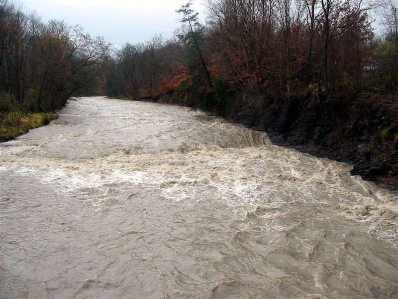
...Oct 28, 2006
This is the first ledge on the run. About a 1/2 mile below the put-in.
The creek begins to pick it up after this section.
Pretty much a typical section on the run.
It's hard to see here, but the main part of the current runs into the front part of the wall which is almost perpendicular to the creek. You will want to stay to the inside.
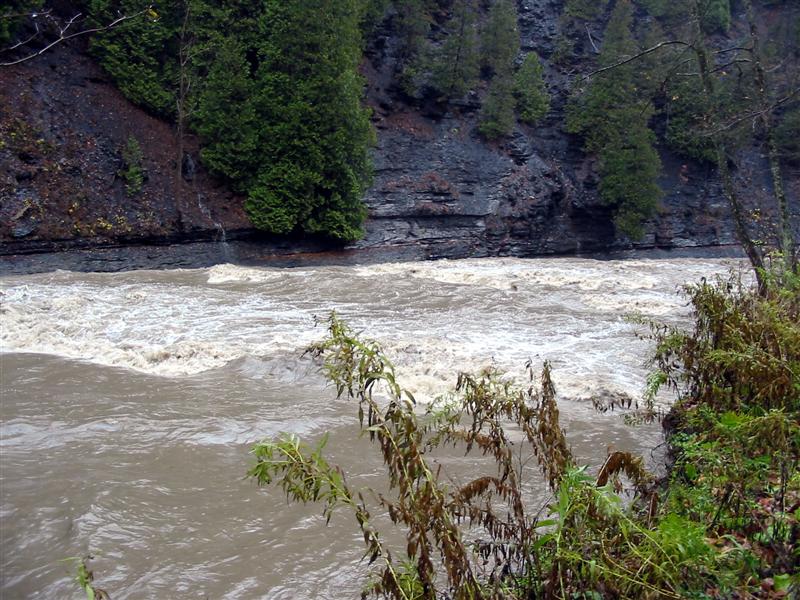
A good section of ledges along Creek Rd.
Just another view of the road ledges.
This is right below the take out at the bike path bridge. You can continue down to the Mohawk River which is about 1/3 of a mile down. Not sure where you can take out though,
Nice waterfall that pours in. Would be a fun drop to walk up and run.
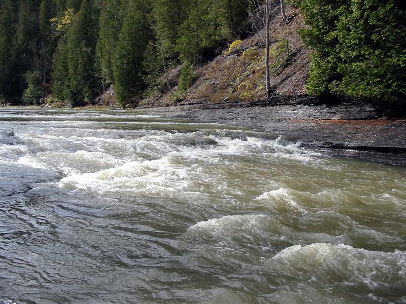
Oct 21, 2006
Put-in at low water. Put -in is on river left under the bridge
This is pretty much how the bottom of the creek looks for the first 3+ miles. A lot of ledges and shale but nothing huge.