Canyon Creek (S.F. Still. trib)
2 - Hampton Tree Farm Bridge to Fishing Access(Middle)
| Difficulty | II+ |
| Length | 3.8 mi |
| Avg Gradient | 35 fpm |
| Permit | Weyerhauser owns the road to the put-in. A $75 annual recreational access pass is required. Go to https://www.weyerhaeuserhuntinglands.com/permits for more info. |
| Gauge | Sf Stillaguamish River Near Granite Falls, Wa |
| Flow Rate as of 1 hour | 3.62 ftbelow recommended |
| Reach Info Last Updated | March 3, 2023 |
FUN FACT: Excellent class 2 run with plenty of fun pool drop rapids along its entire length.
SEASON: Winter rains and snowmelt. November through May
UPDATE:The put-in was accessed by walking in on the gated tree farm road near Masonic Park. The previous owners, Hampton Tree Farm allowed walk-in access. Now, the access is owned by Weyerhauser, who require a $75 annual recreational access pass. Go to https://www.weyerhaeuserhuntinglands.com/permits more info.
DESCRIPTION:
The good news: Upstream from the better known class 4/5 run, Canyon Creek features an excellent class 2 run. It is similar in character to the classic class 2 runs on the SF Snoqualmie or Cedar River, but with more rapids! The creek winds through green forests and some residential areas. There are excellent class 2 - 2+ rapids along its entire length, with a couple drops that push class 3 at higher flows.
The bad news, is the 1/2 mile walk in, but really its about an easy of a 1/2 mile as you can get. The road is either flat or slightly downhill the whole way and is well maintained.
The walk in may keep some folks away, but this run is really worth doing and has potential as a classic beginner/intermediate run. Just be sure to keep a look out for wood, as the trees sometimes topple into this narrow stream.
LOGISTICS:
The takeout is at the Fishing Access listed in the more well known lower run. To reach it turn onto the Mountain Loop Highway from Granite Falls. From here it's 2.1 miles to the turnoff for Canyon Drive. Follow Canyon Drive 0.7 miles to a fishing access point. If it's your first time down, it would be a good idea to walk down to the creek so that you can recognize the take-out. (You'll need a vehicle use permit from WDFW to park here.)
To reach the put-in return to the Mountain Loop Highway and continue east. In about 3 miles look for the sign marking t
...Dec 24, 2025
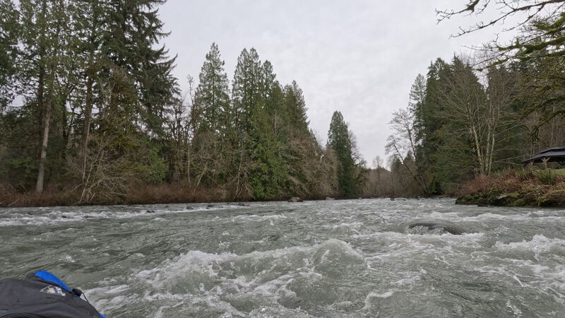
5 of us paddled this today, and it was a great flow at 6' (per the Stilly gage). Just a couple of weeks after the historic flooding, we were wondering how much wood there would be. But, as with all of the other rivers I've been on recently, the high water seems to have flushed out all of the wood hazards. There were a couple of trees in the river, but they were over near the banks and easily avoided.
The flow was great- a little bony in a few areas, but mostly a series of boulder gardens with multiple lines to explore. Fun but not scary rapids. Scenic, though it is fairly built-up on the banks- lots of houses along most of the run.
Jun 1, 2006
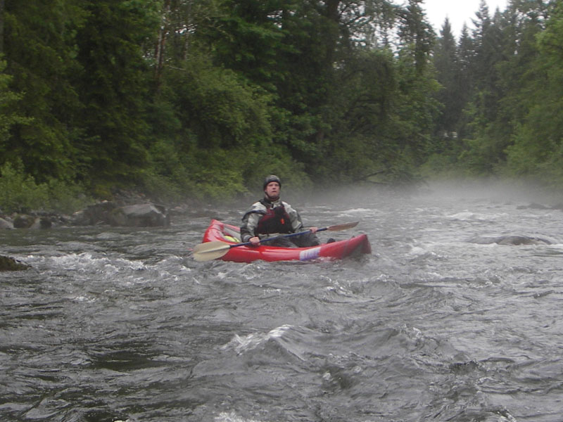
Fun class III- rapid near the end of the run.
Nice spot for a house, but this one is slowly coming down.
There are a few of these near the middle of the run. There are logs at the end of these, so watch the outside bend.
Typical rapids on this section: Some nice little waves and some rocks to avoid.
There must be beer or women...
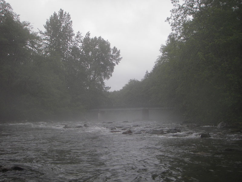
This is the just below the put-in, which is on river right under the bridge. It looks cold for June, but considering the half-mile hike to get there, I wasn't complaining about the weather.
This is a fun rapid near the end of the run.