West Brook
Snake Den Rd. to Magee Rd.

Sep 10, 2023
Dec 13, 2008
made a side trip here after scouting the Pequannock River...wish i would have seen it the day before when it was about 4' high
Jan 28, 2008
I've been keeping my eye on this one for awhile. From the gage statistics it only breaks 400 cfs on average 1-2 times a year, so you better be ready to call in sick. If you're up for this, consider a possible first descent on Posts Brook from Glenwild Ave/Otterhole Rd. to a hike out to East Shore Dr.
Oct 28, 2006
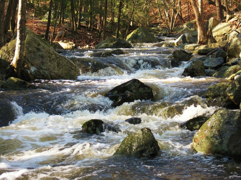
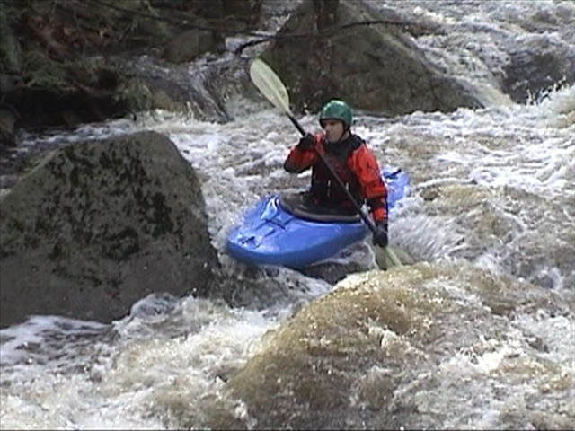
This shows what most of the run looks like. With a few tougher drops thrown in. We ran it on a beautiful fall day.
(unless someone else has named it something else already)
If anyone knows of someone else who has run this creek, I'd love to hear from them.
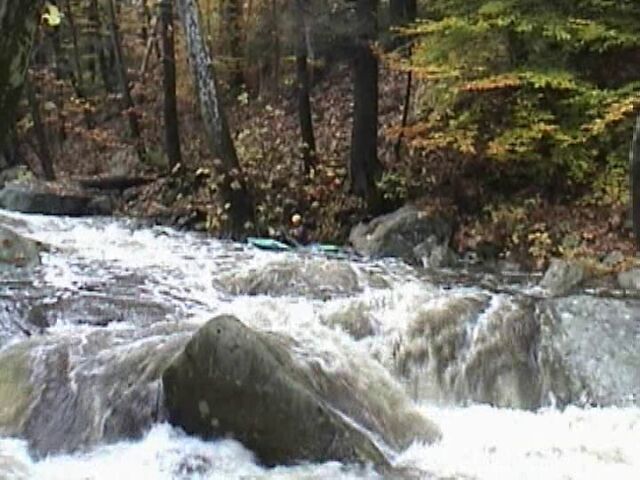
This is the big drop below the bridge. You can see it from the road as you drive up to the put in. After the bridge there's a little island, then this is just below.
The boulder which splits the flow at the top of the last drop of this has a good hole right in front of it.
Jan 1, 1900
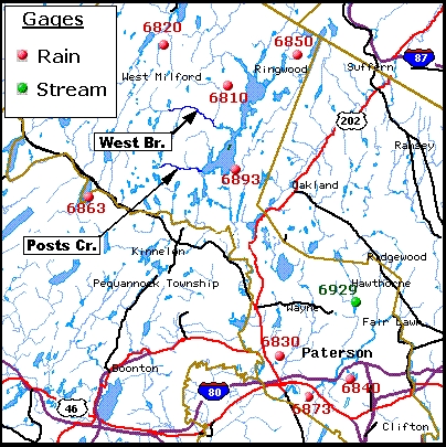
This map shows the location of the closest rain gauges to West Brook and Posts Creek