| Difficulty | II-III+ |
| Length | 7.7 mi |
| Avg Gradient | n/a |
| Gauge | Tallulah River Near Clayton, Ga |
| Flow Rate as of 16 minutes | 78 cfsbelow recommended |
| Reach Info Last Updated | January 19, 2022 |
River Description
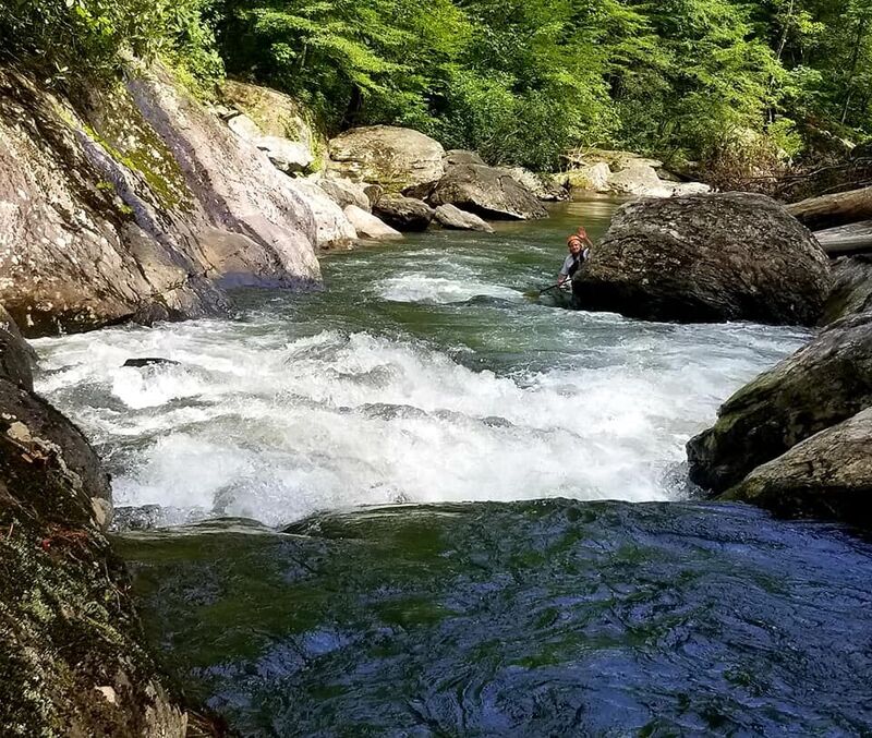
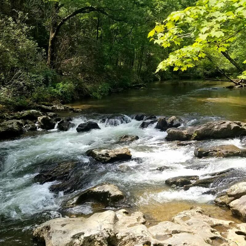
Fun section for anyone looking for a short and sweet trip with just enough action to keep it interesting. There's a boat ramp (known as 'Tallulah River Ramp' on google maps) on Chester York Road that can be used as a take out to knock off a couple miles or more of flatwater at the end of the run. I've used two different put ins as well. One is at the bridge over the Coleman River (I'd call it a creek) where it flows in to the Tallulah. Just below this put in is a short class II with an eddy on the right below the rapid, immediately followed by what I assume is the class III on this run. Alternately down river a half a mile or so is a fishing pier/dock and I've used that as a put in as well and eliminated the class III with only some minor Class I & II stuff below this put in. There is a rapid just above this put in that has many rocks with minimal spacing between them that looks to be tough to find a line through until the water is up enough to go over some of them. I've portaged this rapid on river left when putting in at the Coleman river bridge. The run is about 5.4 miles from the Coleman River put in to the boat ramp. About a 4.8 mile run if you put in at the fishing dock/pier and go to the boat ramp.
River Features
Put In
Access PointDistance: 0 mi
Take Out
Access PointDistance: 7.8 mi
Trip Reports
Log in to add a reportCC
High water makes a fun run - Cody Chitwood
May 27, 2022
Paddled 5/27/22 at 1350cfs when we put on. New wood above the big rapid right below the Coleman confluence. It's a river wide log at the entrance of the rapid. Could probably be ducked under at lower flows but I'd probably avoid it. We put in at the fishing pier about 1/4 mile down river from the Coleman confluence. It was a fun run. Didn't notice any new wood below that point. There are some strainers but they're all easily avoidable. At this level the run felt similar to the Lower Nantahala.
CC
Cody Chitwood
Jan 10, 2022
Ran this river twice in the past few months. Once at 700CFS and dropping and last weekend at 475 CFS and dropping. Both were fun. Scraped a few rocks at 475 but not a problem at all.
TA
Terri Abbott
Jan 1, 1900
Standing at top of Cold Buns rapid. Flow very low at 225cfs. Roget Nott having already run the rapid is waving at the bottom.